Download
1 / 14
140 likes | 150 Views
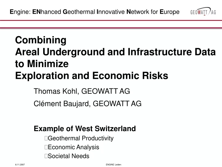
E ngine: EN hanced G eothermal I nnovative N etwork for E urope. Combining Areal Underground and Infrastructure Data to Minimize Exploration and Economic Risks. Thomas Kohl, GEOWATT AG Clément Baujard, GEOWATT AG Example of West Switzerland Geothermal Productivity Economic Analysis

E N D
Engine: ENhanced Geothermal Innovative Network for Europe Combining Areal Underground and Infrastructure Data to Minimize Exploration and Economic Risks Thomas Kohl, GEOWATT AG Clément Baujard, GEOWATT AG Example of West Switzerland Geothermal Productivity Economic Analysis Societal Needs ENGINE Leiden
Investigation of National Swiss Geothermal Ressources ENGINE Leiden
Geothermal Potential Heat in Place rcP specific heat capacity of rock [J m‑3 K‑1], V Volume of resource [m3], Tprod Temperature of produced fluid [°C] Treinj Temperature of re-injected fluid [°C]. Transient Production (rcP)f specific heat capacity of fluids [J m‑3 K‑1] Q produced flow rate [m3 s‑1]. ENGINE Leiden
Utilization Scenario Doublet System: Negligible temperature drawdown over Dt=30 yr Analytic solution (Gringarten, 1978): Necessary surface area Sustainable flow rate Reservoir geometry Utilizable heat energy = f(Tr, T, V, …) in individual reservoir zone Dynamic approach: reservoir depletion Transmissivity Distance Dx ENGINE Leiden
Resource Analysis: Workflow • Data research • Geological data • Well data • Geophysical data (seismic profiles…) • Hydrogeological data (pumping tests, chemical…) • 3D Geological model • 3D Temperature model • Thermal properties from well data • Calibration of temperature on well data • Extraction of temperature on aquifers • Computation and mapping of geothermal potential for identified aquifer • Identification of zones of great potential, cross-checking with surface data ENGINE Leiden
3D Temperature field in domains Conversion of the geological model into FE Attribution of petrophysical data to units Simulation of the temperature using FRACTure Parameters: Surface temperature, geologic model, Thermal conductivity, Basal heat flow distribution ENGINE Leiden
Developing Thermal Calibration Model ENGINE Leiden
Thermal Calibration Model • Temperature along Top 500m Crystalline ENGINE Leiden
Hydrogeological Parameters • Crystalline Basement • Top 500m Depth dependency Bimodal Distribution ENGINE Leiden
Identifying aquifers ENGINE Leiden
Potential Geothermal Energy West Switzerland (Upper Muschelkalk) • Key Parameters: • Geometry of the aquifer • Temperature at depth • Hydraulic conductivity ENGINE Leiden
Economic modelingConcepts • Parameters: • Heat production or electricity production • Option 1: Pure Heat Production • Option 2: Pure Electricity Production • Option 3: Coupled Electricity & Heat Production • Depth of the borehole • Drilling costs • Fixed at 1500€/m or 2200€/m • Increasing with depth • Conversion efficiency: • Increasing with depth • Operational efforts: • pump energy needs • Market selling prices and buying prices of heat and electricity • Annuity of loans • … ENGINE Leiden
Economic modelingResults • Typical results of a parameter study (not definitive) Electricity costs CHF/kWh ENGINE Leiden
Conclusion • Resource analyses are a powerful tool to quantify and map the geothermal potential of a region • It allows to identify the most interesting regions • The geothermal potential can be easily integrated in GIS • Planning tool for local authorities • The risk can be expressed in a probable cost model • The energy demand could be covered from geothermal, • However: under realistic premises only to a small amount • Don't overestimate the geothermal potential! ENGINE Leiden