Download
1 / 23
460 likes | 802 Views
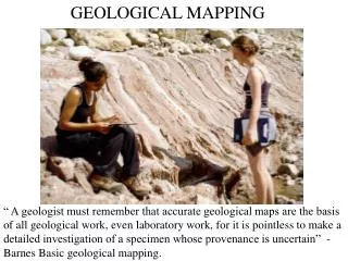
Geological Mapping techniques to enhance mineral exploration. L.J.Hutton. Improvements in Aerial photography . AGGSNA Airphoto - S of Cloncurry flown at 3500m (1935). Commonwealth1:80K RC9 Airphoto – Camooweal area flown at 7500m (25 000’) (mid 1960s).

E N D
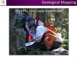
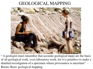
Geological Mapping techniques to enhance mineral exploration L.J.Hutton
Improvements in Aerial photography AGGSNA Airphoto - S of Cloncurry flown at 3500m (1935) Commonwealth1:80K RC9 Airphoto – Camooweal area flown at 7500m (25 000’) (mid 1960s)
Composite radiometric and colour-draped TMI image images of the Tommy Creek area showing outline of felsic rocks
Cover Unnamed granite Metadolerite Milo beds Undivided (graphitic schist, marble & calc granofels) Porphyritic felsic volcanics Mafic to intermediate lavas & clastics Graphitic schist Muscovite-garnet schist Marble, calc granofels, minor siltstone & sandstone Quartzite conglomerate & sandstone Tommy Creek Microgranite Corella Formation Chumvale Breccia Overhang Jaspilite Mitakoodi Quartzite Argylla Formation Geology of the Tommy Creek area - based on BMR-GSQ mapping (1969) Hill & others (1992) with modifications by Withnall, 2006)
South-west Georgetown area: Basement interpretation
Reinterpretation of a ‘cover’ area – Julia Creek 1:250K – magnetic data 1st VD image showing mafic units from the Proterozoic Soldiers Cap Group and probable magnetic units in the newly recognised Millungera Basin
The 6 blind men and the elephant Poem by John Godfrey Saxe, cartoon by G. Renee Guzlas
Five Questions • What is the geodynamic setting of the system? • What is the architecture of the system? • What are the fluids, their sources and reservoirs? • What are the fluid flow drivers and pathways? • What are the metal transport and deposition processes?
Geodynamic setting is a first-order constraint on commodity type and mineralisation style and needs to be an important consideration when developing exploration strategies • Recognition of the range of geodynamic settings expands the range of possible mineralisation styles and opens up new exploration possibilities • New and innovative mineralisation models based on updated geodynamic interpretations, combined with appropriate exploration strategies, can be primary drivers for greenfields exploration success
Important points • Geological maps are a prime requirement for finding new deposits • Need to understand what we are looking for • Need to understand the mineral system • If we don’t find the deposit – we can find vectors to the deposit • For under cover targeting – need geophysics.