Download
1 / 17
170 likes | 175 Views
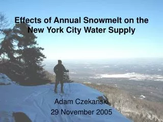
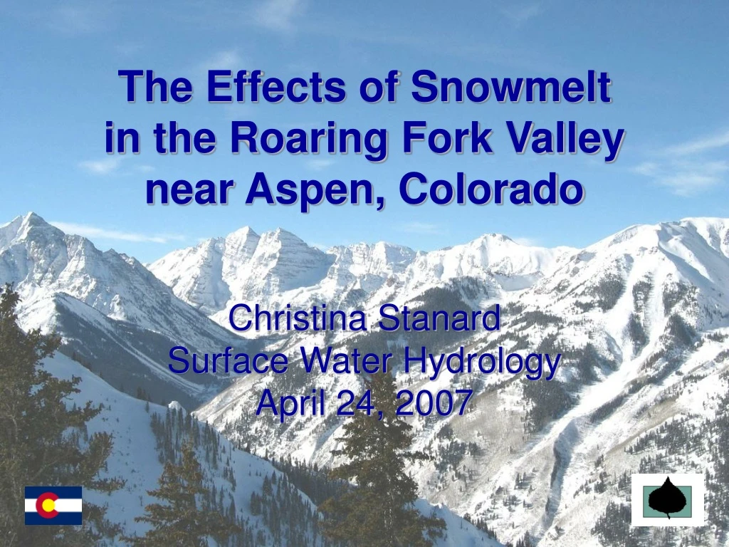
The Effects of Snowmelt in the Roaring Fork Valley near Aspen, Colorado. Christina Stanard Surface Water Hydrology April 24, 2007. Outline. Background – Roaring Fork Watershed Problem – Flooding Analysis – Data, Graphs, History Future Work – Correlations. Colorado. ROCKY MOUNTAINS.

E N D
The Effects of Snowmelt in the Roaring Fork Valley near Aspen, Colorado Christina StanardSurface Water HydrologyApril 24, 2007
Outline • Background – Roaring Fork Watershed • Problem – Flooding • Analysis – Data, Graphs, History • Future Work – Correlations
Colorado ROCKY MOUNTAINS • Denver • Aspen Roaring Fork Watershed
Roaring Fork Watershed • Known for... • Skiing • Trout fishing • Beautiful scenery • Being expensive! Fishing on the Frying Pan River $135 Million, Most Expensive Home in the U.S., Aspen, CO
Basalt, CO • Confluence of Frying Pan and Roaring Fork Rivers • Rapid growth led to development on flood plain • Pitkin County press release in May 2006: “Higher than average snow pack this past winter has emergency management officials... prepared for possible flooding this runoff season. Officials have been closely monitoring water levels, snowmelt and weather, standing at the ready for possible evacuations and sandbagging if warm, wet weather should combine with snowmelt causing area creeks and rivers to overflow in the peak weeks to come.” www.aspenpitkin.com • Flood mitigation projects
Basalt, CO Fryingpan River Roaring Fork River
FEMA Map for Basalt, CO Gold Rivers Apts.
Analysis – Data Sources • USGS Gages: Streamflow • 09080400 FRYINGPAN RIVER NEAR RUEDI, CO. • 09073400 ROARING FORK RIVER NEAR ASPEN, CO. • NCDC: Rainfall and Snowfall • 050372 ASPEN 1 SW • 055507 MEREDITH • Ruedi Reservoir: Levels, Inflows and Discharges • Bureau of Reclamation
Roaring Fork Watershed FRYING PAN RIVER NEAR RUEDI, CO. MEREDITH ROARING FORK RIVER NEAR ASPEN, CO. ASPEN 1 SW
USGS Station March 30, 2007 • 09080400 – FRYING PAN RIVER NEAR RUEDI, CO. Stage = 1.7’
Flood History • Research • June 1921 • “used as a reference when comparing historical flood magnitudes in Colorado” • June 1957 • May and June 1984 • Extensive damage, all time peak discharges • NCDC “Storm Events” FLOOD events reported in Pitkin County, Colorado between 01/01/1995 and 12/31/2006:
Snowpack History NRCS Colorado Snow Survey
Future Work • Snowfall data to Snow-Water-Equivalent • Reservoir data analysis • Further correlate the relationships to • predict flooding