Download
1 / 12
120 likes | 218 Views
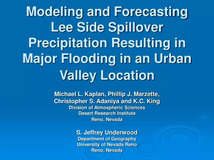
Modeling and Forecasting Lee Side Spillover Precipitation Resulting in Major Flooding in an Urban Valley Location. Michael L. Kaplan, Phillip J. Marzette, Christopher S. Adaniya and K.C. King Division of Atmospheric Sciences Desert Research Institute Reno, Nevada S. Jeffrey Underwood

E N D
Modeling and Forecasting Lee Side Spillover Precipitation Resulting in Major Flooding in an Urban Valley Location Michael L. Kaplan, Phillip J. Marzette, Christopher S. Adaniya and K.C. King Division of Atmospheric Sciences Desert Research Institute Reno, Nevada S. Jeffrey Underwood Department of Geography University of Nevada Reno Reno, Nevada
Presentation Overview 1. Formation of meso-Γ scale vortices in blocked flow 2. Meso-Β/Γ scale observations (Reno) during the 2005 flood 3. Simulated counter-rotating vortices during the flood 4. Sensitivity to model initial conditions during the flood 5. Summary and key conclusions
Counter-Rotating Meso-γ Scale Lee Side Vortices (~10-20 km/3-6 hours or less) • Lee side blocking of upstream unsaturated flow function of dry Froude Number (linear theory) • u=2000 m MSL average (valley-crest) cross-mountain top wind velocity • N=2000 m MSL average (valley-crest) Brunt-Vaisalla frequency • H = Average upstream mountain height (~1000 m for Carson Range between valley (1500 m) and crest (2500 m) MSL)
Key Observations Near Reno For The 2005 Flood Event • Multi-sensor analysis of the precipitation field (inches) for 30–31 December 2005.
NARR: 250-hPa Height/Isotachs/Wind Barbs 0600 UTC 1500 UTC
NARR MSLP and Surface Wind Barbs 0600 UTC 1500 UTC
Upper Air Data: Observed and Simulation NCAR/NCEP Simulation Fr = 0.406 AVN Simulation Fr = 0.521 Observed Reno radiosonde Fr = 0.482
Simulated PMSL/Surface Winds/Terrain at 1500 UTC 12/31/05 NCEP Simulation AVN Simulation
Simulated 800 mb Vertical Velocity (w) at 1500 UTC 12/31/2005 NCEP Simulation AVN Simulation
Summary and Conclusions Urban scale prediction in complex terrain is difficult reflecting larger scale Froude number and simulated blocking errors Blocking may be key to organizing lee side vortices and convergence zones on the urban scale, which control precipitation Better initial data, resolution and microphysics are likely key to improving flooding prediction for spillover precipitationin a lee side urban valley region