Download
1 / 18
180 likes | 275 Views
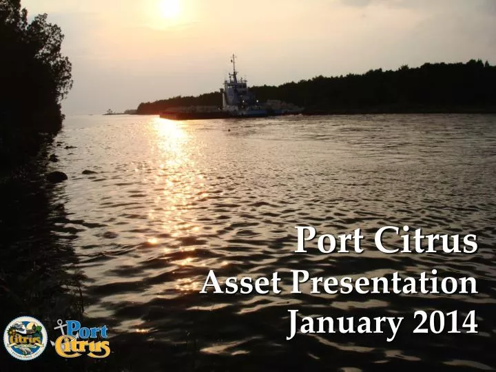
Port Citrus Asset Presentation January 2014. Region’s Intermodal Connections. Port Citrus is in the Geographic Center of Florida Port Citrus is located approx. ½ way between Tampa Bay and Jacksonville. FDOT/ Tampa Bay Regional Transportation Plan.

E N D
Port Citrus Asset Presentation January 2014
Region’s Intermodal Connections • Port Citrus is in the Geographic Center of Florida • Port Citrus is located approx. ½ way between Tampa Bay and Jacksonville
Evaluate Impact of Florida’s Inland Port and Freight Infrastructure Trends on Port Citrus • Ocala on I-75 Corridor less than 1 hour by road from Port Citrus • Opportunity to Integrate M-10 Marine Highway with I-75 Corridor via Port Citrus and Ocala
Intermodal Rail Connections Current Railroad (CSX) Current Railroad (Florida Northern Railroad) Ocala/Marion Commerce Park
Current Facilities Electric Transmission Line NewBridgeUS 19 Felburn Park Marjorie Carr GreenwayTrail Gas Transmission Line Power Plant Railroad Connection to Energy Complex
Future Power Plant Future Infrastructure Future Public Facilities Proposed Water Main Ext. Proposed Suncoast Pkwy Extension Power Plant
Proposed Suncoast Parkway Expansion Suncoast 3 Corridor
Offshore Access Points Approx. 7.5 Miles of Off-shore to Power Plant Barge Channel Intersection 15 ft. depth 24-26 depth
KEY CUT BARGE CANAL 250 ft 12’-15’ Deep 250 ft 1650 ft 5 miles to gulf
Recreational Access- Barge Canal Channel