Download
1 / 14
140 likes | 265 Views
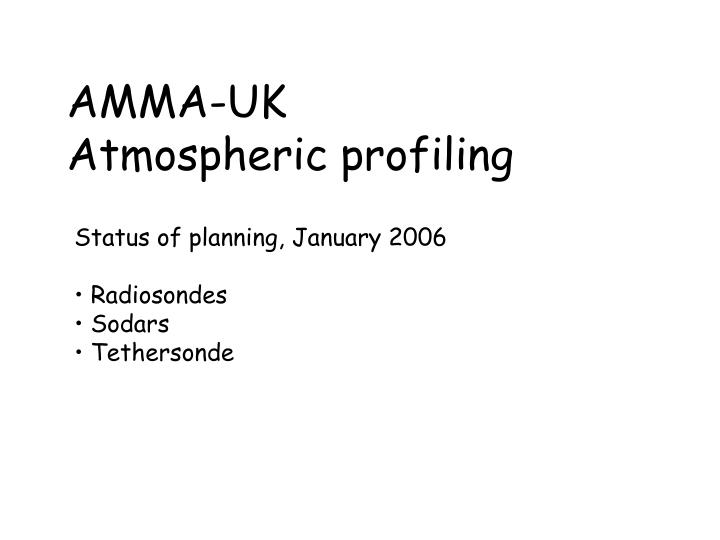
AMMA-UK Atmospheric profiling. Status of planning, January 2006 Radiosondes Sodars Tethersonde. Radiosondes. Managed with AMMA-EU 208 sondes bought from CSIP @ 80 GBP and shipped to Tamale/Abuja. 531 sondes sent for Agadez for 0000 UTC soundings (no gas / balloons).

E N D
AMMA-UK Atmospheric profiling • Status of planning, January 2006 • Radiosondes • Sodars • Tethersonde
Radiosondes • Managed with AMMA-EU • 208 sondes bought from CSIP @ 80 GBP and shipped to Tamale/Abuja. • 531 sondes sent for Agadez for 0000 UTC soundings (no gas / balloons). • Reserve budget available for Tessalit (proposing to use a local consultant). • Thinking about high resolution strategy for northern stations …
Northern Quadrilateral – need to evaluate consequences – deploy EAMAC station Tindouf SOP In Salah Nouadhibou Tamanrasset Tessalit Nouakchott SOP3 Sal Tombouctou Dakar Agadez Khartoum Tahoua Tambacounda Niamey Ouagadougou N’Djamena Bamako SOP1&2 Adis-Abeba Conakry Djougou Sarh Tamale Abuja Parakou Man Ngaoundere Cotonou Bangui Abidjan AMMA Priority 1 stations ; ASECNA: AMMA Priority 2 stations ; ASECNA: Temporary stations (planned) Other stations ; ASECNA …………..: GPS stations ; UHF VHF stations AMMA mesoscales sites Ships Ouesso Libreville Pointe Noire
Quick Look at Meteosat Data from June 2000 (Chris Taylor, CEH) • Background: • One of the objectives of these flights is to provide measurements of • atmospheric response to surface heterogeneity, notably from recent • rainfall. The following figures provide an indication of what surface • moisture heterogeneity might be sampled at this time of year from • flights in this region. • Data used: • Meteosat 7 ~4.5km pixel resolution TIR and VIS, June 6 – • September 30 2000 (only June 7-15 shown) • Raw TIR data to locate cold cloud in previous 24 hours • Daytime cloud-screened TIR to locate surface temperature • anomalies (often associated with surface soil moisture from recent rain) • Interpretation of figures: • Antecedent cold cloud maps (left hand side) provide an indication of • where convective systems have passed, but cannot accurately locate • where surface rainfall occurred, or indeed whether it rained at all. • In sparsely-vegetated regions on the other hand, recent rainfall • produces a strong decrease in surface temperature. • In cloud-free zones, interpretation of maps of brightness temperature • anomalies (compared to a longer-term mean diurnal cycle calculated, • in this case, over 15 days) can provide accurate locations of storm • tracks. The surface is likely to be wet if it: • Has low brightness temperature • Is coincident with cold cloud feature in recent 24-48 hours • Has a well-defined patch edge • Has geometry associated with “typical” storms e.g. oriented NE-SW • Flight planning during the SOP • CEH hope to set up an operational system for the SOP based on • near-real-time satellite data which can assist flight planning during • the morning of the flights. This will be based on cloud-screened • Meteosat Second Generation data, and other sensors if available. • Using this technique, we hope to be able to accurately locate • wet/dry surface patches from recent rainfall, and hence provide • suitable cases of heterogeneity for the aircraft to sample. We • anticipate improvements in the cloud-screening using MSG which • will hopefully make the Niamey region less obscure (the current • algorithm is very conservative).
Surface temperature (1200 UTC) and boundary layer TKE in the afternoon (around 1500 UTC) Chris Taylor, CEH Wallingford
The observed monsoon (v-wind) is related to recent rainfall.
3 AMMA-UK sodars (U. Leeds) combined with one identical system from FZK Karlsruhe in the Niamey region.
Sea breeze (UK) Backscatter and winds
Tethersonde • The turbulence sonde is under development • We propose to take a convectional PTU + wind sonde also • ‘Skydoc’ balloon should fly in all wind conditions outside Cb conditions • Propose 4+ hour flights associated (and not) with BAe146 activity in the area (3-4 person team).