Download
1 / 36
380 likes | 387 Views
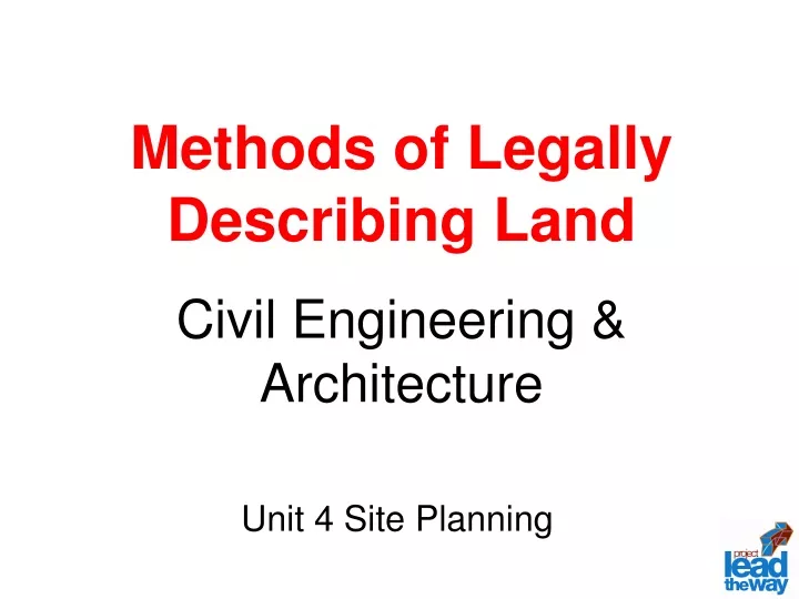
Methods of Legally Describing Land Civil Engineering & Architecture. Unit 4 Site Planning. In this lesson:. Methods of Describing Land in US Metes and Bounds and Rectangular Survey Recorded Plat Mathematics and Important terms Opportunity to Practice. Why Different Methods?.

E N D
Methods of Legally Describing Land Civil Engineering & Architecture Unit 4 Site Planning
In this lesson: • Methods of Describing Land in US • Metes and Bounds and Rectangular Survey Recorded Plat • Mathematics and Important terms • Opportunity to Practice
Metes and Bounds • A system of land description that identifies a property by describing the shape and boundary dimensions of a unit of land based on its distances (metes) and bearing angles (bounds) from a defined starting point (point of beginning, POB).
Sample of Metes and Bounds • Beginning at an iron pipe on the corner of the Lots 51 and 52; thence running N 52°49’ E a distance of 87 ½ feet; thence turning and running easterly through the middle of Lot 50 a distance of 101 feet more or less; thence turning and running S 52°49’ W a distance of 80 feet more or less along a 24-foot right of way; thence turning and running on an arc a distance of 30 feet to West Shore Drive, so-called; thence continuing along the northerly side of the said West Shore Drive a distance of 80 feet more or less to the point of beginning. • Recorded June 23, 1949
Bearings • The deviation measured in degrees, minutes and seconds from a known line or direction. • N 25°35’ E • S 22°35’E • N 15° W • S 45° W
N W E S N 25°35’ E 25°35’
N W E S S 22°35’E 22°35’
N W E S N 15° W 15°
N W E S S 45°W 45°
Metes & Bounds Sketch, Part 1 • Beginning at an iron pipe on the corner of the Lots 51 and 52;
N W E S Metes & Bounds Sketch, Part 2 • thence running N 52°49’ E a distance of 87 ½ feet 52°49’ 87 ½ feet
N W E S Metes & Bounds Sketch, Part 3 • thence turning and running easterly through the middle of Lot 50 a distance of 101 feet more or less; 101 feet 87 ½ feet
N W E S Metes & Bounds Sketch, Part 4 • thence turning and running S 52°49’ W a distance of 80 feet more or less along a 24-foot right of way 101 feet 52°49’ 87 ½ feet 80 feet
Metes & Bounds Sketch, Part 5 • thence turning and running on an arc a distance of 30 feet to West Shore Drive, 101 feet 87 ½ feet 80 feet
Metes & Bounds Sketch, Part 6 • thence continuing along the northerly side of the said West Shore Drive a distance of 80 feet more or less to the point of beginning. 101 feet 87 ½ feet 80 feet 80 feet – West Shore Drive
Practice Worksheet Click here to download a worksheet with practice problems and solutions
Thomas Jefferson Rectangular Survey Designed for the organization, division and sale of government-owned frontier lands.
Meridian and Base Lines Principal Meridian Base Line
Townships T2N R2W T2N R2W T2N R1E T2N R2E T1N R2W T1N R1W T1N R1E T1N R2E T1S R2W T1S R1W T1S R1E T1S R2E T2S R2W T2S R1W T2S R1E T2S R2E
20 acres 20 acres Each Section Section = 1 square mile = 640 acres 80 acres Quarter Section 160 acres 40 acres Half Section 320 acres
Example 2: • Township 1 South, Range 1 East, 3rd PM • Section 25: S1/2 NW1/4 Professional Development ID Code: 8004
Locate the Township • Township 1 South, Range 1 East, 3rd PM
Locate the Section Section 25
Locate the Subdivision S1/2 NW1/4
Recorded Plat • Located in Urban Areas • Shows shape and location of each subdivided partial • Uses Metes and Bounds Descriptions in Survey description
Curriculum Alignment: Unit 4 – Site Planning Lesson 4.1 – Description of Property Act. 1.1 – Legal Description PowerPoint: Legal Description
References: Unknown (n.d.). Original Survey. Retrieved September 20, 2004 from The First American Corporation Web Site: http://www.firstam.com/faf/dimension.htm
Credits: Writer: Kevin Roy Content Editor: Steve Carter, Donna E. Scribner Narration: Donna E. Scribner PLTW Editor: Ed Hughes Production: CJ Amarosa Video Production: CJ Amarosa Audio: CJ Amarosa Project Manager: Donna E. Scribner