Download
1 / 22
220 likes | 225 Views
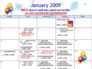
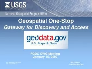
Geospatial One-Stop Update. FGDC CWG January 6, 2009. Rob Dollison rdollison@usgs.gov. Geospatial One-Stop Portal. Agency Publisher Profile Added. Searching for Services. Put State name in Text box Select Live Data’ in Data Category tool Zoom map to State

E N D
Geospatial One-Stop Update FGDC CWG January 6, 2009 Rob Dollison rdollison@usgs.gov
Searching for Services • Put State name in Text box • Select Live Data’ in Data Category tool • Zoom map to State • Select Services with in area of interest
WMS Detailed Report from FGDC • Report Information: • GOS Registration Information • Health Test Results • Reliability Rating • Responsiveness Rating • Potential Service Issues • Recommendations
GOS EnhancementsUser Interface: Special Collection – Costal Zone Filter A user can change a domain to search data with a drop-down list. The drop down list will contain a list of special data sets and collections. Coastal Zone Partner Collections:
Search with REST Interface Special Collections: Use parameter name “isPartOf” with an unique name of a special collection. http://gos2.geodata.gov/Portal/rest/find/document?isPartOf=ramona Partner Collections (Harvesting Sites): Use parameter name “source” with a Partner Collection Id (harvesting site id). http://gos2.geodata.gov/Portal/rest/find/document?source=123
GOS EnhancementsUser Interface: Partner Collections (Harvesting Sites) In A Dropdown list will show a list of Partner Collection names, and a user will choose one of them. Partner Collections:
Live Data and Maps All Results Downloadable Data On Search Result page, each filer is listed with its icon to help a user to understand the meanings of icons. Offline Data Documents Geographic Services Clearinghouse Geographic Activities Applications
GOS EnhancementStatistics Tab Early Mock-up: Content Types Table View of the current category A user selects a link to view different categories. Pie Chart to show ratio of each sub- catagory. Density View by regions with a map. (Available next release) Timeline View with historical information.
On-Going GOS EnhancementReview link on Search Result Page Create/Read Reviews A link to Read Review Window
Text Feedback Form Update the meaning of rating as text as a user change # of stars. Option to get response from a publisher. If a checkbox is checked, a publisher can send response to this review. As default, email field will be populated from a user’s profile, and a user can update his/her preferred email address.
GOS Enhancement Challenges Ahead • Integrating GOS Search and TNM Viewer
GOS Enhancement Challenges Ahead • Integrating GOS Search and TNM Viewer • Supporting Federal Grants and Contracts Process working with Geospatial Lines of Business • FGDC Grant Category for innovative ways to take advantage of the collection. • Other priority enhancements – ISO Metadata conversion,.. more than a bounding box, marketplace improvements (web services for plans, attachments, etc)