Download
1 / 16
160 likes | 175 Views
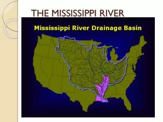
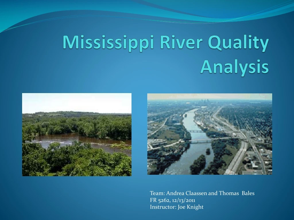
Mississippi River Quality Analysis. Team: Andrea Claassen and Thomas Bales FR 5262, 12/13/2011 Instructor: Joe Knight. Goals of Study. Target cloudy water river areas Inventory health analysis Urban areas Lower river Change detection over 5 years. Data and Methodology. NAIP photography

E N D
Mississippi River Quality Analysis Team: Andrea Claassen and Thomas Bales FR 5262, 12/13/2011 Instructor: Joe Knight
Goals of Study • Target cloudy water river areas • Inventory health analysis • Urban areas • Lower river • Change detection over 5 years
Data and Methodology • NAIP photography • River shapefiles from MetGIS • Target specific areas for the study • Principal component analysis • ISO classification over entire river area • Break up river in study areas • Unsupervised and supervised classifications • Change detection
Data Limitations • Year and environmental variables • 2004 to 2009 resolution (2m to 1m per pixel) • Ortho photo mosaic of study area • Limited reference
Principal Component Analysis • Pre test • Isolate general classifications • Determine water differences
General Unsupervised Classification • Results • Above the Falls • Downtown • Lower river
Target Areas • North--Mississippi River in North Minneapolis • South--Confluence of the Mississippi and Minnesota Rivers
Unsupervised Classifications 2004 10 clusters 2009 10 clusters
Thematic Recode (3 Clusters) 2004 2009
North Minneapolis Unsupervised classification using 10 clusters 2004 2009
North Minneapolis Unsupervised classification using thematic recode combing clusters into 3 groupings. 2004 2009
Supervised Classification (Lower River) 2004 2009
Results--Change Detection • North area—No net change in water clarity. • South area (confluence)—Some changes in amount of sediments, locations different. • Buffered South area—Change not very apparent. May be dependent on classification accuracy.
Accuracy assessment • Used same NAIP imagery for classification and reference data. • Stratified random sampling method • Overall accuracy • 2004: 65.4% • 2009: 66.0%
Conclusions • Some decrease in water clarity in South section (confluence of Mississippi and Minnesota Rivers). • Different pattern of sedimentation between years. • Need to incorporate data on rainfall, agricultural runoff, etc. to better understand differences in sedimentation patterns between years.
I dig it. • Meh. I nix it. • Love. • Take action. • Email: Thanks!