Download
1 / 18
190 likes | 298 Views
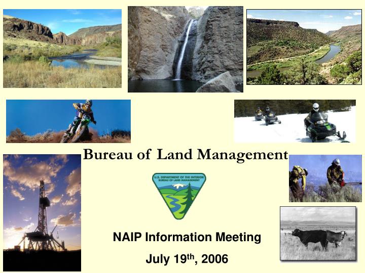
Bureau of Land Management. NAIP Information Meeting July 19 th , 2006. Why does the BLM participate in NAIP How does the BLM use NAIP Monitoring Strategy. Why does the BLM use NAIP? The BLM manages 260 million surface acres and 700 million sub-surface acres.

E N D
Bureau of Land Management NAIP Information Meeting July 19th, 2006
Why does the BLM participate in NAIP • How does the BLM use NAIP • Monitoring Strategy
Why does the BLM use NAIP?The BLM manages 260 million surface acresand 700 million sub-surface acres
Why does the BLM use Imagery? Bureau Programs:Fluid Minerals Oil and Gas Production Hardrock Minerals Coal Production Geothermal Wind Power Recreation Wildland Fire Management Wild Horse and Burro Management National Landscape Conservation System Cadastral Survey Wilderness Law Enforcement Noxious Weeds Soil, Water, Air Botany Cultural Resources Environmental Education Forestry Forest Products Land Use Planning Resource Advisory Councils Engineering Lands and Realty Abandoned Mine Lands Rangeland Management Livestock Grazing Riparian Area Management Travel Management
Why does the BLM use NAIP?1. Consistent Source 2. Standardized 3. Cost per square mile 4. Flexibility
BLM is developing a national strategy to manage the collection, storage, and use of data about the inter-relationship of resource conditions, resource uses, and BLM’s own activities in order to better fulfill the Bureau’s multiple use mission. Under this strategy, the Bureau intends to: Enhance the efficiency and effectiveness of BLM’s assessment, inventory, and monitoring efforts. Establish and use a limited number of resource indicators that are common to most or all BLM field offices, and that are comparable or identical to measures used by other government agencies and non-governmental organizations. Standardize data collection, evaluation, and reporting in a way that improves the quality of the BLM’s land use planning and other management decisions, and enhances BLM’s ability to manage for multiple uses. Goals of the National Monitoring Strategy
Assessment • The process of estimating or judgingthe functional status of ecosystem structures, functions, or processes within a specified geographic area at a specific time (USDI 2001…H-4180-1-Rangeland Health Standards).
Inventory • The systematic acquisition and analysis of resource information needed for planning and management purposes (Interagency Tech Reference 1734-6 2000).
Monitoring • The regular collection of data over time to evaluate: 1) whether objectives or land health standards are being achieved; 2) effectiveness of management actions (BLM H-4180-1-Rangeland Health Standards 2001).
Natural Resource Condition • A mode or state of being that can be described with a value that measures quantity of resources (e.g. 500 individuals, 20% cover), quality of resources (e.g. all life stages present at the site, cover class 4), or both. [Working definition derived in part from BLM Technical Reference 1730-1]
1. Local Condition and Effectiveness • Land Use Plan Implementation, Monitoring, and Adaptive ManagementDevelop land use plans with goals and objectives that relate (in part) to land health standards, and conduct land health assessments and monitoring accordingly. Use implementation strategies and monitoring plans to adapt management in connection with the schedule for land use plan evaluations.
2. Regional Condition For certain high-priority resources and uses, evaluate cumulative effects at a regional scale. Develop policy recommendations regarding the targeting of treatments and resources within a regional context.
3. National Condition Establish a baseline of land health condition at a national level. Re-inventory lands on a periodic basis to ascertain trends.
Monitoring Projects Potentially using Imagery 1 - Local Surveys and Policies. 2 - Regional Vegetation/Owyhee Uplands 3 - Regional Habitat Fragmentation 4 - Regional Energy 5 - National Rangeland Health Standards 6 - National Indicators 7 - Evaluate Data Sets on the Public Lands for Utility by BLM 8 - Science Portal 9 - Develop Ecological Site Description Protocol 10 - Land Use Planning Changes (effectiveness measure, monitoring template, LUP evaluations) 11 - Recreation Impacts 12 - Digitize Records Archived at NSTC 13 - Remote Sensing Protocol, Box Elder County 14 - OHV Monitoring Database 15 - Vegetation Monitoring and Analysis Program 16 - Project Management
BLM Contributions WY - $0 WA - $0 NV - $280K UT - $90K
Questions?Russell JacksonBLM - Denver Federal CenterNational Science & Technology CenterBuilding 50, ST-122Denver, Colorado 80225303.236.1614russell_jackson@blm.gov