Download
1 / 9
90 likes | 196 Views
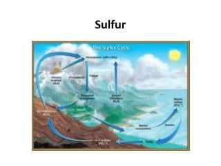
Searching for Sulfur Gases in Norris Geyser Basin. Lindsey Sydow. Searching ArcGIS online. Somewhat of a failure Not enough detail for my purposes Thermal features: too few Geological maps: too great of scope. Searching USGS.gov. National Geologic Map Database.

E N D
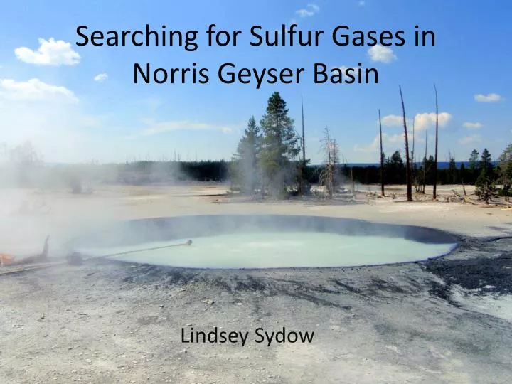
Searching for Sulfur Gases in Norris Geyser Basin Lindsey Sydow
Searching ArcGIS online • Somewhat of a failure • Not enough detail for my purposes • Thermal features: too few • Geological maps: too great of scope
Searching USGS.gov National Geologic Map Database Tells you which results have GIS data!
Manipulating Data • Need to adjust points (flowing springs) and polygons (pools or springs) to be a single layer: “water_features” • “Select by attributes” to separate springs from vents and other non-water point features (New layer: Springs) • “Feature to Point” to turn pools into points (New layer: basin_centroids) • “Merge” to join the two new layers into one: water_features.
Acquired Chemical Data from PDFs(Yes, that is as bad as it sounds) How I acquired my pH data What will be added
Major factors for identifying features of interest • Water temperature 85-110oC • pH between 3 and 4.5 • Not necessarily requirements • Geology—fluvial deposits • Proximity to Cinder Pool • In Cinder Pool: • Temperature is ~90oC at the surface, but 113oC at the bottom • pH is ~4
Still to be dealt with: projection issues • “events” layer • “UTM” layer
What remains? • EITHER joining my point shapefiles OR projecting these same features from the USGS chemical data—rest of data is already ready to go • Using previously mentioned criteria to select by attributes the best features to sample during next Yellowstone trip.