Download
1 / 9
90 likes | 219 Views
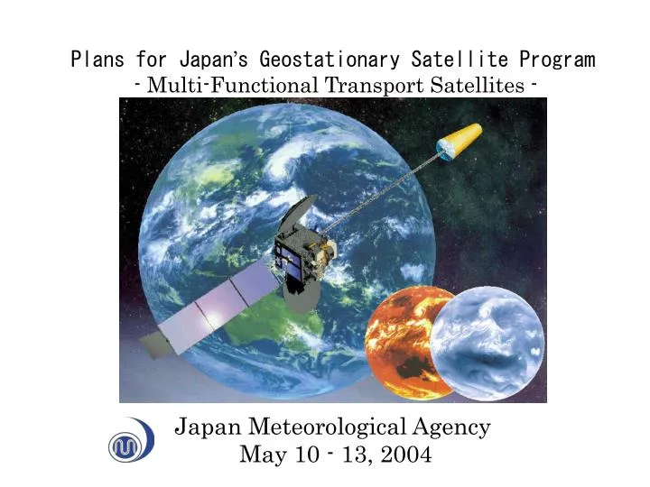
Plans for Japan ’ s Geostationary Satellite Program - Multi-Functional Transport Satellites - Japan Meteorological Agency May 10 - 13, 2004. WMO/WWW. METEOSAT 0°E. GOES-E 75°W. GOMS 76°E. METEOR. NOAA(TIROS). GOES-W 135°W. GOES-9 155°E. GMS 140°E. MTSAT 140°E. MTSATs.

E N D
Plans for Japan’s Geostationary Satellite Program - Multi-Functional Transport Satellites - Japan Meteorological Agency May 10 - 13, 2004
WMO/WWW METEOSAT 0°E GOES-E 75°W GOMS 76°E METEOR NOAA(TIROS) GOES-W 135°W GOES-9 155°E GMS 140°E MTSAT 140°E
MTSATs Observation Data Observation Data from DCPs Dissemination Data Airplane Islands Ships MDUSs Seismic Intensity Meter JMA/MSC/CDAS SDUSs JMA/MSC JMA/HQ
Main changes from GMS-5 to MTSATs series (1) To have four infrared channels including a 3.7 micron channel and one visible channel. (2) Low-resolution digital image data will be disseminated by LRIT to SDUS. (3) Image data have will be disseminated to MDUS by HiRID. The format of HiRID is compatible to that of Stretched-VISSR of GMS-5. (4) HRIT will be introduced in addition to HiRID in order to disseminate image data at original resolution (4km for IR and 1km for VIS) and at original quantization levels to MDUS. (5) Current ranging system will be replaced by the system using a turn-around HRIT signal at CDAS.