Download
1 / 36
370 likes | 374 Views
What is GPS?. GPS, which stands for Global Positioning System, is the only system today able to show you your exact position on the Earth anytime, in any weather, anywhere. The three parts of GPS are: Satellites Receivers Software. GPS Uses. Police and Emergency Medical Services

E N D
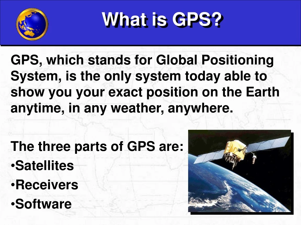
What is GPS? GPS, which stands for Global Positioning System, is the only system today able to show you your exact position on the Earth anytime, in any weather, anywhere. The three parts of GPS are: • Satellites • Receivers • Software
GPS Uses • Police and Emergency Medical Services • Firefighters • Map makers • Science
Satellites There are quite a number of satellites out there in space. They are used for a wide range of purposes: satellite TV, cellular phones, military purposes and etc. Satellites can also be used by GPS receivers.
GPS Units Today 1978
GPS Satellites The GPS Operational Constellation consists of 24 satellites that orbit the Earth in very precise orbits twice a day. GPS satellites emit continuous navigation signals.
DOD • DOD checks position, altitude and speed • Relay information to satellite • Satellite broadcasts information to GPS units
Speed of Sound Speed of light = 186,000 miles per second Speed of sound = ~1,127 feet per second
GPS Signals • Pseudorandom code • Time • Satellite Number • Satellite Health • Ephemeris message • Satellite's precise orbit (output over 18 seconds, repeating every 30 seconds) • Almanac message • Locations of all satellites (think of a bus schedule). GPS units store this information. Physically the signal is just a complicated digital code, or in other words, a complicated sequence of “on” and “off” pulses.
Time Difference The GPS receiver compares the time a signal was transmitted by a satellite with the time it was received. The time difference tells the GPS receiver how far away the satellite is. Satellite transmits at 11:00:00 GPS unit receives at 11:00:05
Calculating Distance Velocity x Time = Distance Radio waves travel at the speed of light, roughly 186,000 miles per second (mps) If it took 0.06 seconds to receive a signal transmitted by a satellite floating directly overhead, use this formula to find your distance from the satellite. 186,000 mps x 0.06 seconds = 11,160 miles
What if the time is a little off? Correct: 186,000 mps x 0.06 seconds = 11,160 miles Incorrect: 186,000 mps x 0.065 seconds = 12,090 miles That’s a 930 mile difference!!!
Triangulation Geometric Principle: You can find one location if you know its distance from other, already-known locations.
3-D Trilateration 1 Satellite 2 Satellites 3 Satellites
Latitude and Longitude Latitude Longitude Elevation
Line-of-sight Line of sight means the GPS unit needs to be in a visible line with the GPS satellites.
4 B A 5
Light Refraction Sometimes the GPS signal from the satellite doesn’t follow a straight line. Refraction is the bending of light as it travels through one media to another.
Signal Refraction Signals from satellites can be like light. When they hit some interference (air patterns in the atmosphere, uneven geography, etc.) they sometimes bend a little.
Signal Interference Sometimes the signals bounce off things before they hit the receivers.
Satellite Distribution When the satellites are all in the same part of the sky, readings will be less accurate.
PDOP PDOP = Positional Dilution of Precision All of this combines to make the signal less accurate, and gives it what we call a high “PDOP.” 11,000 miles 11,000 miles 11,000 miles 11,000 miles • A PDOP of <4 is excellent • A PDOP of 4-8 is good • A PDOP of >8 is poor
WAAS SystemWide Area Augmentation System WAAS is a system of satellites and ground stations that provide GPS signal corrections, giving five times better position accuracy.
GPS Unit Enter Navigate Power
Gecko On Screens
Satellite Screen Garmin Gecko Mobile Mapper
Map Screen Mobile Mapper Garmin Gecko You are here IN OUT
Compass Screen Mobile Mapper Garmin Gecko
Menu Screen Mobile Mapper Garmin Gecko
Waypoints Waypoints are locations or landmarks worth recording and storing in your GPS. These are locations you may later want to return to. Garmin Gecko Mobile Mapper
GOTO Waypoint • Menu button • GOTO option • User Waypoint • Position • Select waypoint • Use Compass screen to navigate back to waypoint.
Questions Alana Jensen ESER Program S. M. Stoller Corp. 120 Technology Drive Idaho Falls, ID 83402 208-525-9358 ajensen@stoller.com www.stoller-eser.com