Download
1 / 12
120 likes | 259 Views
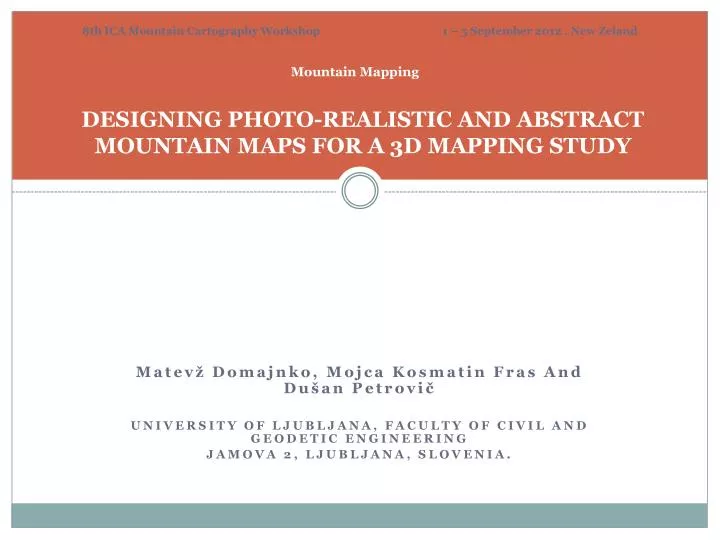
8th ICA Mountain Cartography Workshop 1 – 5 September 2012 , New Zeland. Mountain Mapping DESIGNING PHOTO-REALISTIC AND ABSTRACT MOUNTAIN MAPS FOR A 3D MAPPING STUDY. Matevž Domajnko, Mojca Kosmatin Fras And Dušan Petrovič University of Ljubljana, Faculty of Civil and Geodetic Engineering

E N D
8th ICA MountainCartography Workshop 1 – 5 September 2012 , New Zeland MountainMapping DESIGNING PHOTO-REALISTIC AND ABSTRACT MOUNTAIN MAPS FOR A 3D MAPPING STUDY Matevž Domajnko, Mojca Kosmatin Fras And Dušan Petrovič University of Ljubljana, Faculty of Civil and Geodetic Engineering Jamova 2, Ljubljana, Slovenia.
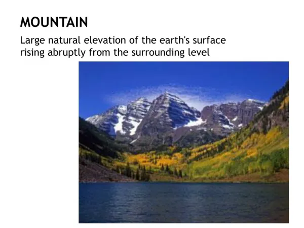
Designing Photo-realistic and Abstract Mountain Maps for a 3D Mapping Study • Maintasks(on mountainmaps) are to estimate: • the difficulty level of mountain paths, • approximate lengthofthepath, • height differences and • thetime needed to complete thepath. • Mountain 3D maps: • Perfectforlessskilledusers. • Enabledirect perception of thevertical character of the depicted area http://www.princeton.edu/ http://www.3dnworld.com/ http://www.3dnworld.com/
Designing Photo-realistic and Abstract Mountain Maps for a 3D Mapping Study Trends in 3D map design Photo-realistic 3D map • Led bytheoryofcomputergraphics. • Suitableforunskilledandyoungerusers OR Abstract 3D map • Lackofcartographicprinciples /cartographic language(Häberling in 2003 and Petrovič in 2001 set guidelines) • Effectivecartographiccommunication
Designing Photo-realistic and Abstract Mountain Maps for a 3D Mapping Study Keyfeatures Photo-realistic 3D map • Demandslarge number of details in terms of shape and color. • Highgeometrical and graphical details. • Veryrealisticappearance. OR Abstract 3D map • Employs cartographic generalizationand • cartographic abstraction. • Expressive, clear and aesthetic 3D map
Designing Photo-realistic and Abstract Mountain Maps for a 3D Mapping Study Userstudy on 3D map design The aim is to evaluate the influence of different levels of abstraction in 3D representations for cartographic communication. Hypothesis: Abstract 3D geovisualizations are more effective for cartographic communication formountainouspurposesthan photo-realistic 3D geovisualizations. OR
Designing Photo-realistic and Abstract Mountain Maps for a 3D Mapping Study The test area Pohorje highlands • Above Maribor, the second biggest town • Ski center (world cup women) • Hiking trails • Bicycle riding (downhill, mountain bicycling) • Adrenaline park • Very popular area, a lot of visitors
Designing Photo-realistic and Abstract Mountain Maps for a 3D Mapping Study Designissues on a test 3D maps Photo-realistic 3D map • Similarto the real appearance of the presented objects and phenomena • Require more time andtechnicalskill in order to achieve a highlevelofrealism
Designing Photo-realistic and Abstract Mountain Maps for a 3D Mapping Study Designissues on a test 3D maps Abstract 3D map • To create an expressive, clear and aesthetic 3D mapwefollowedvariouscartographictheories: • Häberling(2008) – Proposed Cartographic Design Principles for 3D Maps • Petrovič (2003) - Cartographic Design in 3D maps • Glander’s and Döllner’s (2007) techniques for: • Generalization of 3D building groups, • Vegetation block model with coarse edge-line and coarse surface, • Cut-out of cell polygons
Comparison Abstract 3D map Photo-realistic 3D map
Typesof 3D mapsformappingstudy Orthophotooverlay topographic 2D map overlay Abstract 3D map Photo-realistic 3D map
Study http://kartografi.si/mountainCartography/anketa_VR.html
Designing Photo-realistic and Abstract Mountain Maps for a 3D Mapping Study Conclusions • Excpected time of map study • October to December 2012 • Youall are kindlyinvited to contribute to study!