Download
1 / 13
130 likes | 305 Views
Marine Planning in British Columbia Charlie Short – Manager, Marine Initiatives Ministry of Forests, Lands and Natural Resource Operations. Presentation Overview. Overview of jurisdiction and roles of responsible governments What role does the province play in marine planning

E N D
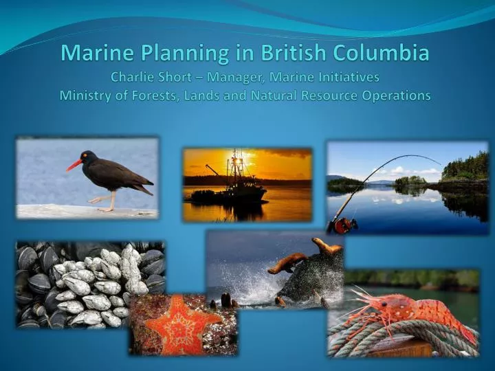
Marine Planning in British ColumbiaCharlie Short – Manager, Marine Initiatives Ministry of Forests, Lands and Natural Resource Operations
Presentation Overview Overview of jurisdiction and roles of responsible governments What role does the province play in marine planning Marine Planning Partnership for the North Pacific Coast (MaPP) Other Marine Planning Initiatives – lay of the land
What is the Province’s Jurisdiction in the Marine Environment? Most modern day marine planning initiatives require multi-party MoUs, collaborative governance models and are supported by multi-partner funding agreements. • Province has legislative jurisdiction over public ‘crown’ coastal lands, inland waters and seabed lying “between the jaws of the land” (“intra faucesterrae”) (i.e., bays, estuaries, inlets, fjords, channels, sounds) • Federal government has legislative jurisdiction over resources in the water column (e.g., fish) and regulates activities on the ocean surface (e.g., shipping) • Local governments also influence management in the coastal zone through by-laws & local government plans. • First Nations also have rights & title in the coastal zone & marine waters, use coastal & marine areas for cultural and spiritual purposes, and have developed coastal plans in traditional territories. Note: This is not a legal interpretation, nor a position statement of the Province of British Columbia; nor does it address First Nations’ rights and title.
Provincial authorizations in the coastal zone Tenured Uses Shellfish Beach Aquaculture Shellfish Deepwater Aquaculture Marine Plant Aquaculture Finfish Aquaculture Marine Residential Floating Lodges & Camps Boat Launches Commercial Recreation Guiding Log Booming Grounds Log Handling Facilities Helicopter Log Drops Commercial Uses • Tenured Uses (cont’d) • Private Residential Moorage • Light Docks, Wharves & Facilities • Heavy Docks, Wharves & Facilities • Marine Telecommunications & Utilities • Conservation (i.e., MPAs) • Non Tenured Activities • First Nations Uses • Commercial Fisheries • Public Recreation • Marine Transportation
Natural Resources Sector Administrative Boundaries NRS Boundaries Skeena Region West Coast Region South Coast Region Generally reflect “jaws of land” and extend ~ 5km (3nm) seaward on outer coast.
Marine Planning in British Columbia
What is the Marine Planning Partnership? • The Marine Planning Partnership for the Pacific North Coast (MaPP) is a • collaboration between: • Province of B.C., asrepresented by the Ministry of Forests, Lands and Natural Resource Operations • Coastal First Nations – Great Bear Initiative • North Coast-Skeena First Nations Stewardship Society • NanwakolasCouncil • These First Nations entities represent 20 individual First Nations • Letter of Intent (LOI): • Signed in November, 2011 • Agreement on the structure of the MaPP initiative and outlining key planning deliverables • Memorandum of Understanding (MoU) for a Marine Planning Partnership Support Fund - supplements the existing resources of the parties.
MaPP Intended Results • The intent of the MaPP initiative is to create • four coastal and marine plans, accompanied • by Implementation agreements, in four sub-regions • the North Coast, the Central Coast, • North Vancouver Island and HaidaGwaii, by December 2013. • Partner First Nations and the Province of B.C. share planning • priorities including: • Collaboration between governments • An Ecosystem-based Management approach that strives to balance ecological and human needs including: • Integrated Economic Strategies • Marine Protected Areas (MPAs) • Climate Change • Cumulative Effects • Marine Spatial Plans • MaPP will bring together the best available science, traditional knowledge and input from robust public and stakeholder engagement.
Where are we now with MaPP? Budget, work plan and scope planning work defined; Staff hired; ToRs for governance committees and technical groups; ToR for Stakeholder Committees; including a schedule for meetings; Science Advisory Committee established with ToR Advisory committee meetings start late May early June
The Pacific North Coast Integrated Management (PNCIMA) • A strategic planning initiative in a partnership between DFO, FN and the Province of BC. Same planning area as MaPP. Completion date – December 2012 • Key outputs are: • An EBM framework – goals, objectives, strategies • Priority marine values – ecological, social, economic, cultural • Risk Assessment for identified values West Coast Aquatics (WCA) • A planning initiative on the west coast of Vancouver Island. Directed by a board consisting of the province, DFO, local government, stakeholders and First Nations. Completion date – 2012-2013 • Key outputs are: • Strategic plan for west coast Vancouver Island • Marine Spatial Plans for Clayoquot Sound and Barkley Sound.
Marine Protected Area (MPA) Planning A Canada-British Columbia Marine Protected Network Strategy has been drafted for British Columbia in collaboration with federal agencies. The strategy outlines a vision, goals and specific design principles for a BC network of MPAs. Race Rocks Ocean’s Act MPA—This is a proposed MPA by the Department of Fisheries and Oceans (DFO) as an area of interest. Consultations with public, First Nations, and stakeholders are ongoing. The area is currently a provincial ecological reserve. Southern Strait of Georgia National Marine Conservation Area—The Provincial/Federal working group is nearing completion of a feasibility assessment for a National Marine Conservation Area in the Southern Strait of Georgia. Current focus is communication and consultation with First Nations. Sponge Reefs Ocean’s Act MPA—This is a proposed MPA by the Department of Fisheries and Oceans (DFO) as an ‘area of interest’. Location is Hecate Strait. Marine Conservancy Boundaries— Consultation is ongoing with Coastal First Nations regarding Central/North Coast LRMP and HaidaGwaii SLUA conservancy marine boundaries recommendations. Scott Island National Marine Wildlife Area (MWA)—Environment Canada’s Canadian Wildlife Service (CWS) proposes to establish a MWA centred on the Scott Islands.
Who’s who in Marine Planning • Key Provincial Contacts Director, Resource Management objectives Branch Allan Lidstone – allan.lidstone@gov.bc.ca Manager – Marine Initiatives Charlie Short – charles.short@gov.bc.ca Marine Planning Partnership – Sub-Regional Planners HaidaGwaii – Berry Wijdeven – berry.wijdeven@gov.bc.ca North Coast – Steve Kachanoski – steve.kachanoski@gov.bc.ca Central Coast – Sally Cargill – sally.cargill@gov.bc.ca North Vancouver Island – Keeva Kehler – keeva.kehler@gov.bc.ca Administrative Support / Research – Marjan Etemadi – marjan.etemadi@gov.bc.ca West Coast Aquatic - Marine Planner West Coast Vancouver Island – Bill Zinovich – bill.zinovich@gov.bc.ca
Thank You! • Questions