Download
1 / 14
140 likes | 307 Views
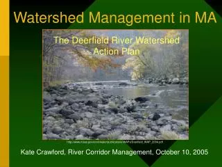
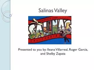
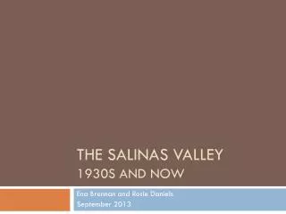
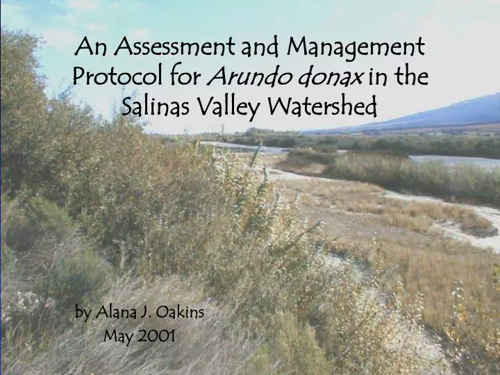
An Assessment and Management Protocol for Arundo donax in the Salinas Valley Watershed. by Alana J. Oakins May 2001. What is Arundo ?. invasive non-native species introduced in the 1800’s rated 1 of 5 top species of concern by CALEPPC many associated environmental problems. culm.

E N D
An Assessment and Management Protocol for Arundo donax in the Salinas Valley Watershed by Alana J. Oakins May 2001
What is Arundo? • invasive non-native species • introduced in the 1800’s • rated 1 of 5 top species of concern by CALEPPC • many associated environmental problems culm rhizomes roots
out-competes native vegetation inability to provide habitat and food for native species negatively affects stream flow and morphology water intensive Why Should We Care?
What can we do? • federal, state and local “weed” laws (e.g. Clinton’s Executive Order and SB1740 & AB1168) • economic and ethical implications to different stakeholders like landowners, agricultural community, and nurseries • research (e.g. mapping studies)
Study Objectives • to assess the feasibility of mapping Arundo using remote sensing • to offer a policy recommendation for Monterey County
Assessing Arundo using Remote Sensing • Why map Arundo? -it’s the first step -locating made easier -assess quantity -assess invasiveness -gives future direction • Therefore… Can Arundo be differentiated from similar vegetation?
Study Site Levee Road • near Gonzales, CA River-Gonzales Road Salinas River
Methods • Acquired imagery…Color-IR • Groundtruthed the image • Created training classes • Trained computer in TnTmips (MicroImages, 1999) • Supervised classification
Results -Arundo is significantly different than similar vegetation
Mapped Arundo with an accuracy of 95% Salinas River Legend Green-Arundo Red-Willow Pink-Cottonwood Purple-Oak Yellow-Grasses and Shrubs White-Bare Ground Dark Blue-Water (deep) Light Blue-Water (shallow) *Black polygons-groundtruth data and training classes
Discussion • use a Color-IR • nominal pixel size of 2 m • supervised classification • red and green light reflectance bands
A proposed policy… • Arundo be included in the Monterey County Weed Management Plan • funds be allocated for further Arundo research (e.g. mapping entire infestation)
An Effective policy... • completely understand why Arundo even exists in Monterey County • look to successful management examples as a guide • public and private collaboration
Acknowledgements • Scott Hennessy • The Watershed Institute • Dr. Lars Pierce • Dr. David Takacs • Lee Johnson • Bruce Delgado