Download
1 / 11
110 likes | 192 Views
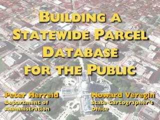
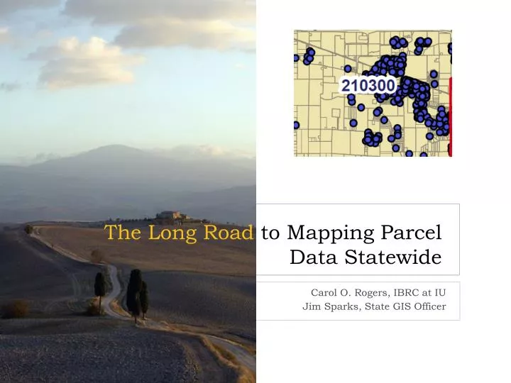
The Long Road to Mapping Parcel Data Statewide. Carol O. Rogers, IBRC at IU Jim Sparks, State GIS Officer. A brief history of county GIS access. Jim Sparks, State GIS Officer. Did you know almost all counties now share their GIS files?. A brief history of parcel data.

E N D
The Long Road to Mapping Parcel Data Statewide Carol O. Rogers, IBRC at IU Jim Sparks, State GIS Officer
A brief history of county GIS access • Jim Sparks, State GIS Officer Did you know almost all counties now share their GIS files? IBRC @ Indiana University
A brief history of parcel data • Carol Rogers, IBRC at Indiana University and director of Information for Indiana initiative Wow, now I can see how important property is to businesses and population! IBRC @ Indiana University
Collecting Local Data IBRC has developed and deployed multiple web-based collection tools as part of the Information for Indiana Initiative: • Property Parcel Data • Sales Disclosure forms can be input online (or uploaded if county is using a vendor) • Government Gateway for Government Units allows for submission of budgets for tax certification and annual reports of expenditures Data IBRC @ Indiana University
Just a Few of the Uses • Analysis of local government taxing and spending • Aid in uniform property assessments • Homestead validation • Transparency • Cross boundary comparisons IBRC @ Indiana University
Missing Piece has been “The maps” • Parcel data is inherently spatial • Inability to “see” the intersection of taxing districts • Confusion IBRC @ Indiana University
Parcel Shapefiles Make All the Difference • Suddenly, we can see the intersections of property and people’s lives IBRC @ Indiana University
Proximity of work and housing IBRC @ Indiana University
Home sales in context of all parcels IBRC @ Indiana University
Why All Counties • Provides regional context • Allows for use of metro area data • Can place information within the context of what’s in place • Economic development IBRC @ Indiana University
Let’s talk about this … IBRC @ Indiana University