Download
1 / 27
270 likes | 379 Views
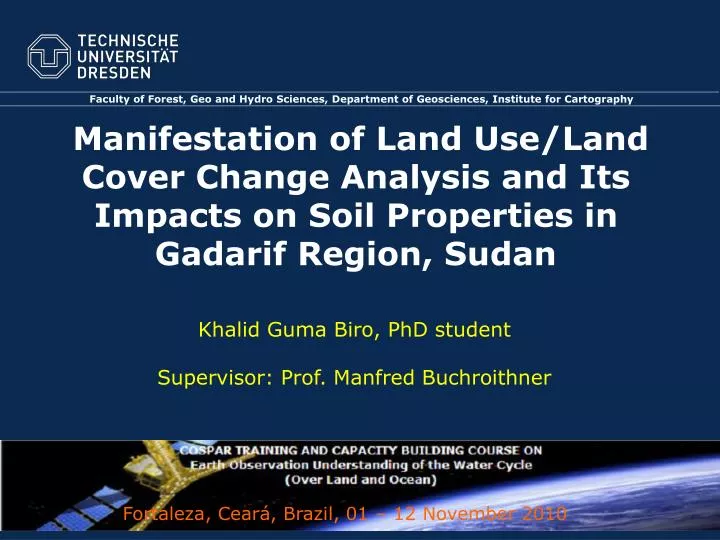
Faculty of Forest, Geo and Hydro Sciences, Department of Geosciences, Institute for Cartography. Manifestation of Land Use/Land Cover Change Analysis and Its Impacts on Soil Properties in Gadarif Region, Sudan. Khalid Guma Biro, PhD student Supervisor: Prof. Manfred Buchroithner.

E N D
Faculty of Forest, Geo and Hydro Sciences, Department of Geosciences, Institute for Cartography Manifestation of Land Use/Land Cover Change Analysis and Its Impacts on Soil Properties in Gadarif Region, Sudan Khalid Guma Biro, PhD studentSupervisor: Prof. Manfred Buchroithner Fortaleza, Ceará, Brazil, 01 – 12 November 2010
Main topics • Use of multi-temporal satellite data for land use/land cover change analysis • Impacts of land use/land cover changes on soil properties • Soil compaction and infiltration rate characteristics under three different land use types in dryland vertisols • Land use analyses in drylands: an object-oriented classification approach using TerraSAR-X data • Synthesis: Discussion of interconnections and implications for soil conservation, soil management and sustainable land use Fortaleza, 10.09.2014
Study area African Sahel(Source: NASA Earth Observatory, 2007) Gadarif Region East Sudan Study site:Area: 40 x 30 km²Average altitude: 600 m Fortaleza, 10.09.2014 3
Analysis of LULC change using optical data Unclassified (raw) images from Landsat and ASTER data Fortaleza, 10.09.2014
Maximum likelihood classification showing LULC through the period 1979 – 2009 Fortaleza, 10.09.2014 5
Areas of LULC classes in the study area Fortaleza, 10.09.2014 6
Change detection (%) for the period 1979-2009 (Diagonalrepresents unchanged fraction of each class) Fortaleza, 10.09.2014 7
LULC changes in the period 1979 – 2009 Fortaleza, 10.09.2014 8
LULC changes in the period 1979 – 2009 Fortaleza, 10.09.2014 9
Land use analysis using TerraSAR-X data Data acquisition Study area Descending Ascending Fortaleza, 10.09.2014 10
Normalize image backscattering coefficient Image filtering σ ºdB = βº dB + 10 * Log10 (sin (θloc) (1) (Infoterra, 2008) βºdB = 10 * Log10 (Ks * DN²) (2) Where: σ ºdB = backscattering coefficient in dB θloc = local incidence angle from GIM βºdB = radar brightness in dB Ks = TerraSAR-X calibration factor DN = digital number of TerraSAR-X EEC input image pixel. Fortaleza, 10.09.2014 11
Gamma speckle filtering (7x7) HH HV HH/HV Raw Filtered Fortaleza, 10.09.2014 12
Image segmentation HH/HV HH HV Segmentation parameters (using multiresolution algorithm of eCognition) ٭Smoothness/compactness were constant at 0.5/0.5 Fortaleza, 10.09.2014 13
Feature space optimization Classification was based on nearest neighbour classifier using feature space optimisation GLCM = Gray level co-occurrence matrix StdDev = Standard deviation Invert expression also used for select class feature Fortaleza, 10.09.2014 14
TerraSAR-X land use/cover map Fortaleza, 10.09.2014 15
TerraSAR-X land use/cover map Fortaleza, 10.09.2014 16
TerraSAR-X land use/cover map Fortaleza, 10.09.2014 17
Summary of classification accuracies Fortaleza, 10.09.2014
Impacts of land use change on soil properties Soil physical properties Fortaleza, 10.09.2014 19
Soil chemical properties Fortaleza, 10.09.2014 20
Soil penetration resistance Fortaleza, 10.09.2014 21
Soil infiltration (Kostiakov model) Fortaleza, 10.09.2014 22
Maps of soil penetration resistance Fortaleza, 10.09.2014 23
Maps of soil organic carbon Fortaleza, 10.09.2014 24
Maps of soil moisture content Fortaleza, 10.09.2014 25
Use of multi-temporal satellite data for land use/land cover change analyses and its impacts on soil properties in the northern part of Gadarif region, Sudan; 30th EARSeL Symposium 31.05 - 01 .06.2010 - Paris, France. (submitted to Land Degradation and Development, Revised). Land use analyses in the African Sahel: an object-oriented classification approach using TerraSAR-X data; 38th COSPAR Scientific Assembly, 18 - 25 July 2010,Bremen, Germany. (Submitted to Advances in Space Research, Revised). The effects of different land use types on soil compaction and infiltration rate in the drylands vertisol of Gadarif region, Sudan; Tropentag 2010, ETH Zurich September 14 - 16, 2010. (Under work). Fortaleza, 10.09.2014 26
Thank You! Khalidturk76@yahoo.co.uk Fortaleza, 10.09.2014 26