Download
1 / 23
240 likes | 527 Views
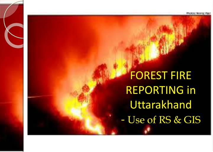
FOREST FIRE REPORTING in Uttarakhand - Use of RS & GIS. Forest Fire in Chir pine Forests. Comparison of Forest Cover Map , Forest Type Map and Forest Fire Maps. There is a strong occurrence of forest fires in the moderately dense forests and open forests as compared to very dense forest.

E N D
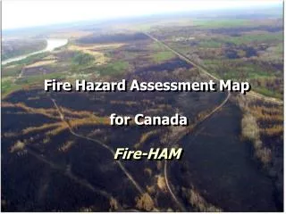
FOREST FIRE REPORTING in Uttarakhand - Use of RS & GIS
Comparison of Forest Cover Map , Forest Type Map and Forest Fire Maps • There is a strong occurrence of forest fires in the moderately dense forests and open forests as compared to very dense forest. • The occurrence in sub-tropical pine forests and tropical dry deciduous forests is high. • The difference in the number of fires reported in the years 2008 to 2012 exists. The trend being • 2008-moderate occurrence of fires overall and majority in the Terai belt • 2009-high occurrence of fires with distribution through terai as well as pine belt • 2010- moderate occurrence of fires overall and majority in the Terai belt • 2011-extremely low occurrence reported and well distributed • 2012- high occurrence of fires with distribution through terai as well as pine belt • These results are based on the reporting done from the bottoms up driven wireless communication
Reporting through wireless sets • Reporting of forest fires by the field level staff (forest guard / plot watcher / daily wager) through wireless sets to the division Headquarters • Stop the fire from spreading through manual intervention by the field staff and the local villagers • Reporting of forest fires has so far been a bottoms up driven process in which the data from field is conveyed to the division and later at the top level.
IT Cell : UK forest • With careful picking of able field staff suitable to the requirements of IT Cell a small core group created • The guidance was ably given by SCIENCE • With time we have evolved a new fire reporting system • to utilize the advancements in RS/GIS in our operations
Created layers for UK forest • forest boundary (up to the beat and compartment level); • administrative boundaries (of districts); • railways, roads, fire lines, • forest chowkies , villages , settlements and • streams (major and minor)
Modus Operandi: Step 1. Getting Near Real Time Forest Fire Data (3 hrs.) from EOSDIS NASA site for South Asia
Modus Operandi • Step 2: convert the .kml file from the site to .shp file using Arc Info
Modus operandi : Step 3. Overlay the shp file having Fire Incidence Points over the layers of Uttarakhand Forest Boundary
Modus operandi : Step 4Run the Identify Tool for the points within Uttarakhand state
Results of Identify Tool operation:Step 5 : Fire Reporting done at Compartment Level
Modus Operandi Step 6 : Intimate The Beat /Range /Division Incharge About The Fire
Modus operandi : Step 7 Prepare A Map ( Different For Evening And Morning And Display It On Site)
Different from previous methods • FSI Fire reporting gives Lat/Long data; we gave our field staff the name of the Compartment as well • The field staff could overlay the layers of his beat on Google Earth as well to know the area • Wireless reporting is not exhaustive and manual errors are also avoided
Future • SMS Server linked to the Geospatial Lab could send SMS to the Official Phone number ( CUG ) of the Beat Incharge • Centralized data of the fires reported and acted upon by the field staff