Download
1 / 4
40 likes | 124 Views
Google Earth Integration. Creating dynamic link to database (more than kml) Workflow: Using Intergraph WebMap feature service or WebMap service via Google’s network link. Workflow:. Users clicks on ……..netLink url Link calls .Net web page (See xml document)

E N D
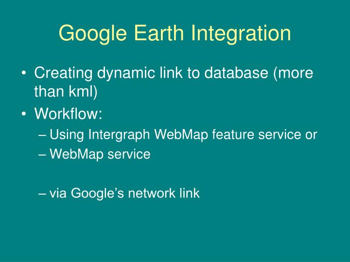
Google Earth Integration • Creating dynamic link to database (more than kml) • Workflow: • Using Intergraph WebMap feature service or • WebMap service • via Google’s network link
Workflow: • Users clicks on ……..netLink url • Link calls .Net web page • (See xml document) • Google E calls url found in <href> tags on netlink document • Navigation is refreshed by Google E • url calls webpageWebMap service or WebMap feature service • Web Services return xml documents from geodatabase • XSLT used to convert wms/wfs to kml • kml renders results
Xml returned from .NET webnetworklink.kml <name>City of San Mateo Rasters</name> <LookAt> <longitude>-122.338515</longitude> <latitude>37.557599</latitude> <range>300</range> <tilt>0</tilt> <heading>0</heading> </LookAt> <NetworkLink> <name>Raster Image</name> <Url> <href>http://CityOfSanMateo_Domain/virtualdirectory/googleEarth.aspx?theme=(parcels or parcelsRaster)</href> <viewRefreshMode>onStop</viewRefreshMode> <viewRefreshTime>.5</viewRefreshTime> <viewFormat>BBOX=[bboxWest],[bboxSouth],[bboxEast],[bboxNorth]&LOOKAT=[lookatLon],[lookatLat],[lookatRange],[lookatTilt],[lookatHeading]&HFOV=[horizFov]&VFOV=[vertFov]</viewFormat> </Url> <viewRefreshMode>onStop</viewRefreshMode> </NetworkLink> </Folder> </kml>
Programming functions: Server Intergraph generated Web Page Request.asp Farallon Geographics created Web Page googleEarth.aspx Client Network Link Google Earth GeoMedia WebMap Service XSLT XSLT Used to convert wms/wfs to kml Contact Farallon Geographic's for programming details