Download
1 / 8
200 likes | 821 Views
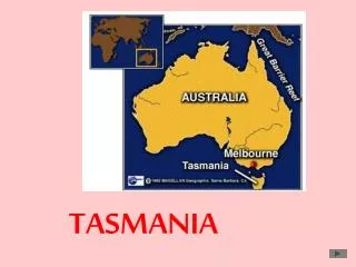
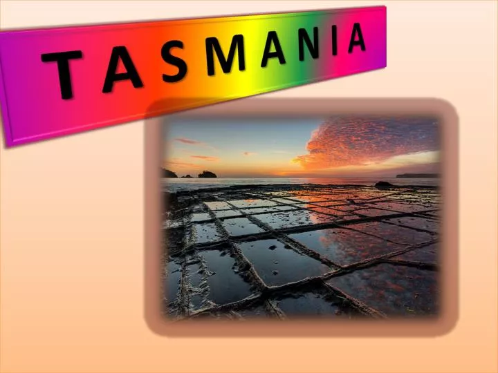
TASMANIA. LOCATION. Tasmania (abbreviated as Tas and known colloquially as " Tassie ") is an island state, part of the Commonwealth of Australia, located 240 kilometres (150 mi) to the south of the

E N D
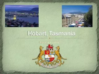
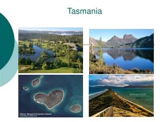
LOCATION Tasmania (abbreviated as Tas and known colloquially as "Tassie") is an island state, part of the Commonwealth of Australia, located 240 kilometres (150 mi) to the south of the Australian continent, separated by Bass Strait. The state includes the island of Tasmania, the 26th largest island in the world, and the surrounding 334 islands. The state has a population of 507,626 (as of June 2010), of whom almost half reside in the greater Hobart precinct. Tasmania's area is 68,401 square kilometres (26,410 sq mi), of which the main island covers 62,409 square kilometres (24,096 sq mi). Tasmania is promoted as the natural state, the "Island of Inspiration", and A World Apart, Not A World Away owing to its large and relatively unspoiled natural environment. Almost 45% of Tasmania lies in reserves, national parks and World Heritage Sites. The island is 364 kilometres (226 mi) long from its northernmost to its southernmost points, and 306 kilometres (190 mi) from west to east.The state capital and largest city is Hobart, which encompasses the local government areas of City of Hobart, City of Glenorchy, and City of Clarence, while the satellite town of Kingston (part of the Municipality of Kingborough) is generally included in the Greater Hobart area.
Colony of Tasmania A map of the Colony in 1852. Capital : Hobart Languages : English Religion : Anglicanism Government : -Constitutional monarchy (1856-1901) King/Queen : 1856*-1901 Victoria Legislature : Tasmanian Legislative Council History : - Responsible self government (1856) - Federation of Australia (1 January 1901) Currency : Pound sterling
Main article: Colony of Tasmania The Colony of Tasmania (more commonly referred to simply as "Tasmania") was a British colony that existed on the island of Tasmania from 1856 until 1901, when it federated together with the five other Australian colonies to form the Commonwealth of Australia. The possibility of the colony was established when the Westminster Parliament passed the Australian Colonies Government Act 1850, granting the right of legislative power to each of the six Australian colonies
Recent history The state was badly affected by the 1967 Tasmanian fires, in which there was major loss of life and property. In the 1970s, the state government announced plans to flood environmentally significant Lake Pedder. As a result of the eventual flooding of Lake Pedder, the world's first greens party was established; the United Tasmania Group. In 1975, the Tasman Bridge collapsed when the bridge was struck by the bulk ore carrier MV Lake Illawarra. This made crossing the Derwent River at Hobart almost impossible.
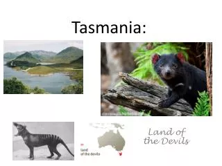
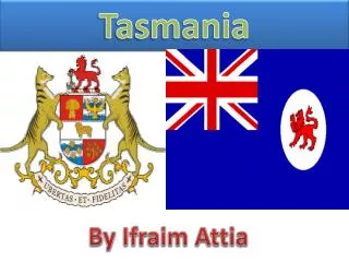
Coat of arms of Tasmania The Coat of arms of Tasmania is the official symbol of the Australian state and island of Tasmania. It was officially granted by King George V in May 1917. The shield features significant examples of Tasmanian industry: a sheaf of wheat,hops, a ram and apples. It is surmounted by a red lion that also features on the State badge. The shield is supported bytwoThylacines (Tasmanian tigers/wolfs) with a motto beneath, UbertasetFidelitas, which is Latin for "Fertility and Faithfulness".
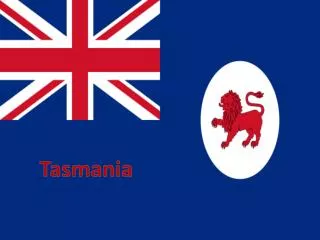
Flag of Tasmania Proportion : 1:2 Adopte: 25 September 1876 Design : State badge of a red lion passant on white disk, on a defacedBritishBlue Ensign The current state flag of Tasmania was officially adopted following a proclama- Tion by Tasmanian colonial Governor Sir Frederick Weld on 25 September 1876, and was first published in the Tasmanian Gazette the same day. The governor's proclamation here were three official flags, they being the Governor's flag, the Tasmania Government vessel flag, and a Tasmania merchant flag. Up until 1856 when Tasmania was granted responsible self-government, the Union flag and the British ensign were primarily used on state occasions.
Russell Falls Russell Falls are located on the eastern boundary of Mount Field National Park, in Tasmania, Australia. Accessible by a paved walking track, the falls are a popular tourist attraction. They were first named the Brownings Fallsafter the original discoverer, c.1856, but were known as the Russell Fallsafter 1884, by which time they were already a popular tourist attract- ion. The Falls Reserve was established To protect them in 1885. In 1899 the Russell Falls were selected as one of eight images to be used on a set of pictorial postage stamps, aimed at promoting the then colony's growing tourist industry.