Download
1 / 30
300 likes | 307 Views
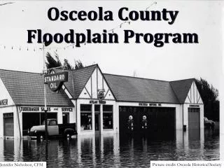
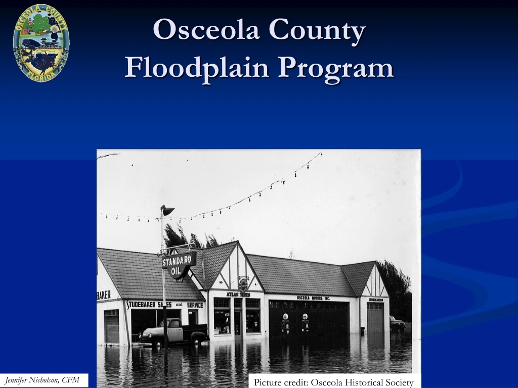
Osceola County Floodplain Program. Jennifer Nicholson, CFM. Picture credit: Osceola Historical Society. N ational F lood I nsurance P rogram ( NFIP ) through FEMA. Act of 1968 Federal program to purchase flood insurance Agreement between Osceola & FEMA. Flood Insurance Facts:.

E N D
Osceola CountyFloodplain Program Jennifer Nicholson, CFM Picture credit: Osceola Historical Society
National Flood Insurance Program (NFIP) through FEMA Act of 1968 Federal program to purchase flood insurance Agreement between Osceola & FEMA
Flood Insurance Facts: • Home owners insurance does not cover flood • Flood insurance is federal • Available to participating jurisdictions • Rates are set by FEMA • Can be purchased through FEMA or FEMA agreements with private companies (WYO’s) • Can be mandatory
Flood Zones: Flood Zones are areas established with a designated risk Everyone lives in a flood zone Osceola Zones: A, AE, Floodway X and X shaded
Read a flood map? • Low – and moderate • Represented on the maps as “X” or “X” shaded • High-risk • Represented on the maps as “A” , “AE” or Floodway
Low Risk – X High Risk - A High Risk - AE Floodway
Flood Zone Definition • Low - moderate risk (X & X shaded) • Potential for flooding • Flood insurance is recommended but not required • High-risk(A & AE) • High potential for flooding • Flood insurance may be required
High Ri$k? High risk requires a flood policy with a mortgage • A – no base flood elevation (+$) • AE – base flood elevation (-$) • Floodway– federally protected, highvelocity & has a base flood elevation (+$)
Floodway: Considered to be a rather dangerous If a home is mapped in a floodway; residents can continue to live there Restrictions in the floodway
Helpful Documents: Floodplain Determination Letter Aerial with floodplain overlay Elevation Certificates Letter of Map Revisions
48% of Osceola County is zoned in a High Risk Flood Zone. All of the Orange is High Risk!
How is the Risk Determined? A flood study & maps created by FEMA Current maps were created in 2001. Changes are here.
Why new flood hazard maps? Important tools to protect lives & properties Current maps are out of date Digital maps
Timeline: 2001 - Current 2009 - FEMA began studying August 2011 - preliminary maps released 2011- Outreach May 2011 - 40 protests &1 appeal submitted June 2013? - Map adoption
Osceola County’s Changes: Over 10,000 properties affected Flood zones changed Base flood elevations determined & revised
New Maps = New Challenges Building regulations New floodway’s Mandatory flood insurance Flood elevation changes Flood Damage Prevention Ordinance and Building Code Real Estate
For Sale in a Floodplain?: What flood zone is this? LOW RISK www.osceola.org/go/floodplain Call # (407) 742-0200
“I am closing on my house today and I was told the house in the floodplain; can you help me, asap? “ Do not wait till closing to find out the property is in a floodplain and insurance will be required.
Message: Stay informed & keep clients informed. Never use an inadequate data base More information the better Find out flood info pre-closing date Osceola floods, the risk is real
FEMA RATES Osceola Community Rating • Reduces flood insurance premiums by 15% • Flood policy direct savings $350,000 annually • Good news!
How to get covered. Calling an insurance agent or Calling FEMA to obtain a policy. # 1-888-379-9531
Resources Osceola County Floodplain Coordinator: Jennifer Nicholson , CFM 407-742-8653 City of Kissimmee Floodplain Coordinator: Larry Clough, P.E. , CFM 407-518-2385 City of St. Cloud Floodplain Coordinator: Kevin Felblinger, P.E., CFM 407-957-7283 For more information on the Floodplain Program, please visit: www.osceola.org www.FEMA.gov www.floodsmart.gov