Download
1 / 30
310 likes | 533 Views
February 25, 2008. The Next Edition of the Manual of Surveying Instructions and the Modern Cadastre. Presented by: Dan Webb, BLM Chief Cadastral Surveyor Utah State Office, Salt Lake City, UT and Bob Dahl, BLM Cadastral Surveyor Lands, Realty & Cadastral Survey Division Washington, D.C.

E N D
The Next Edition of theManual of Surveying Instructionsand the Modern Cadastre Presented by: Dan Webb, BLM Chief Cadastral Surveyor Utah State Office, Salt Lake City, UT and Bob Dahl, BLM Cadastral Surveyor Lands, Realty & Cadastral Survey Division Washington, D.C. Utah Council of Land Surveyors Convention St. George, UT February 22, 2008
Agenda Cadastre – Cadastral – Cadastral Survey What is the Manual of Surveying Instructions? Why is the Manual relevant to Private, County, and State Surveyors in Utah?
Agenda • Scope of the project • Technical project nested in a web of • administration and legal processes What is the process? How are we going about it? Where are we to date?
OHA → ↑ IBLA IBIA IBCA
Cadastral Presence • At the BLM State Office level – Cadastral is 1 of 45 Programs, and is considered “support” • Within BLM Utah – Cadastral has 2% of the total State Office personnel
What is the Manual of Instructions for the Survey of the Public Lands of the United States? (Manual) Whom/What is affected?
Why is the Manual Relevant to the Private, County, and State Surveyor in Utah?
UTAH CODE State Statute Law Title 17 CountiesChapter 23 County Surveyor • § 17-23-1(3)(a) The surveyor of each county shall: • ensure that all surveys of legal subdivisions of sections are made according to the • Manual of Surveying Instructions
UTAH CODE State Statute Law Title 17 CountiesChapter 23 County Surveyor • § 17-23-16 Resurveys – In the resurvey of lands surveyed under the authority of the U.S., the county surveyor shall observe the following: • In all cases, missing corners must be reestablished with reference to the • Manual of Surveying Instructions
Utah Council of Land Surveyors Model Standards of Practicefor Boundary Surveys Section 4. Technical Procedures 4. Computations and Conclusions Surveyors should: 4. apply principles of location for corners in accordance with law or precedent, draw conclusions, and determine the position of lost corners
Utah Council of Land Surveyors Model Standards of Practicefor Boundary Surveys • Section 7. Graphic Representation • of Land Surveys • 3. Survey Narrative • Surveyors should: • indicate the theory of location for corners … in accordance with law or precedence
SUPREME COURT OF UTAH Cornia v. Putnam, 26 Utah 2d 354 (1971) The trial court failed to determine whether the section corner was lost or obliterated therefore The judgment of the trial court is reversed, and the case is remanded for a new trial
SUPREME COURT OF UTAH Cornia v. Putnam, 26 Utah 2d 354 (1971) A lost corner must be restored by a double proportionate measurement Per BLM Manual Supplement – Restoration of Lost and Obliterated Corners and Subdivision of Sections – A Guide for Surveyors
SUPREME COURT OF UTAH Cornia v. Putnam, 26 Utah 2d 354 (1971) “The survey should be made … in accordance with instructions and regulations issued … by the general land office for the guidance of county surveyors and others in ascertaining boundary lines created by the government survey and in relocating corners or monuments … which may have become lost or obliterated.”
SUPREME COURT OF UTAH Barbizon of Utah, Inc. v. General Oil Company, 24 Utah 2d 321 (1970) Congress has provided a system for the survey of public lands, and the boundaries and limits of the several sections and subdivisions …, must be ascertained in conformity with the principles laid down …
SUPREME COURT OF UTAH Barbizon of Utah, Inc. v. General Oil Company, 24 Utah 2d 321 (1970) The official plat with all of its notes, lines, descriptions and landmarks become a part of the patentee’s deed
UNITED STATES CODETitle 43 Public Lands § 2 The Secretary of the Interior or such officer as he may designate (BLM) shall perform all executive duties appertaining to the surveying and sale of the public lands of the United States
Other Federal Laws – Containing Survey Rules – The Federal Survey Rules Title 43 U.S.C. §§ 751-753, 772, 773, 1737(c) “… when the government, … by an official … survey, which was approved by it, … and rights have been acquired under that survey, the lines of such survey, … constitute the true boundary which cannot be departed from or made to yield to … resurveys which are in conflict with them.” Ferry v. Fowler, 37 Utah 34 (1910)
UNITED STATES CODETitle 25 Indians § 176 Whenever it becomes necessary to survey any Indian lands, the same shall be surveyed under the direction and control of the BLM And as nearly as may be in conformity to the rules and regulations under which other public lands are surveyed
INTERIOR BOARD OF LAND APPEALSHoward Vagneur, 159 IBLA 272 (2003) 1) BLM is authorized to resurvey the corners and lines of government surveys 2) BLM Survey Manual defines a resurvey 3) Manual defines ‘existent’ ‘obliterated’ and ‘lost’ corners 4) Manual provides guidance to surveyors on how to base a resurvey on the ‘best available evidence’
INTERIOR BOARD OF LAND APPEALSHoward Vagneur, 159 IBLA 272 (2003) 5) BLM Official Surveys are presumed regular and 6) An accurate retracement and reestablishment of the lines of the original survey
United States Supreme Court It is settled law that the United States may survey what it owns and thereby establish and reestablish boundaries, but what the government does in this regard is for its own information and cannot affect the rights of owners on the other side of an existing boundary. United States v. State Investment Co., 264 U.S. 206, 212 (1924), citing Lane v. Darlington, 249 U.S. 331, 333 (1919).
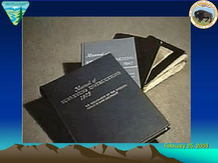
MANUAL The Manual of Surveying Instructions describes how cadastral surveys of the public lands are made in conformance to statutory law and its judicial interpretation. (1973 Manual § 1-1.) It is within the province of the Director to determine what are public lands, what lands have been surveyed, what are to be surveyed, what have been disposed of, what remains to be disposed of, and what are reserved. (1973 Manual § 1-11.)
SUMMARY By fundamental law, upon the issuance of a patent for land by the Federal government; it is just as if the monuments, survey plat and field notes, and the laws, regulations and rules governing how to survey the land described in the patent, are attached to the face of the patent. The survey rules are spelled out in the manuals, circulars, instructions and regulations issued by the GLO and later by the BLM.
Next Edition Website http://www.blm.gov/cadastral/Manual/nextedition.htm BLM Utah PLSS Records: http://www.blm.gov/ut/st/en/prog/more/cadastral.html Federal Land Patents: http://www.glorecords.blm.gov PLSS Reference Layer : http://agrc.its.state.ut.us/