Download
1 / 27
270 likes | 276 Views
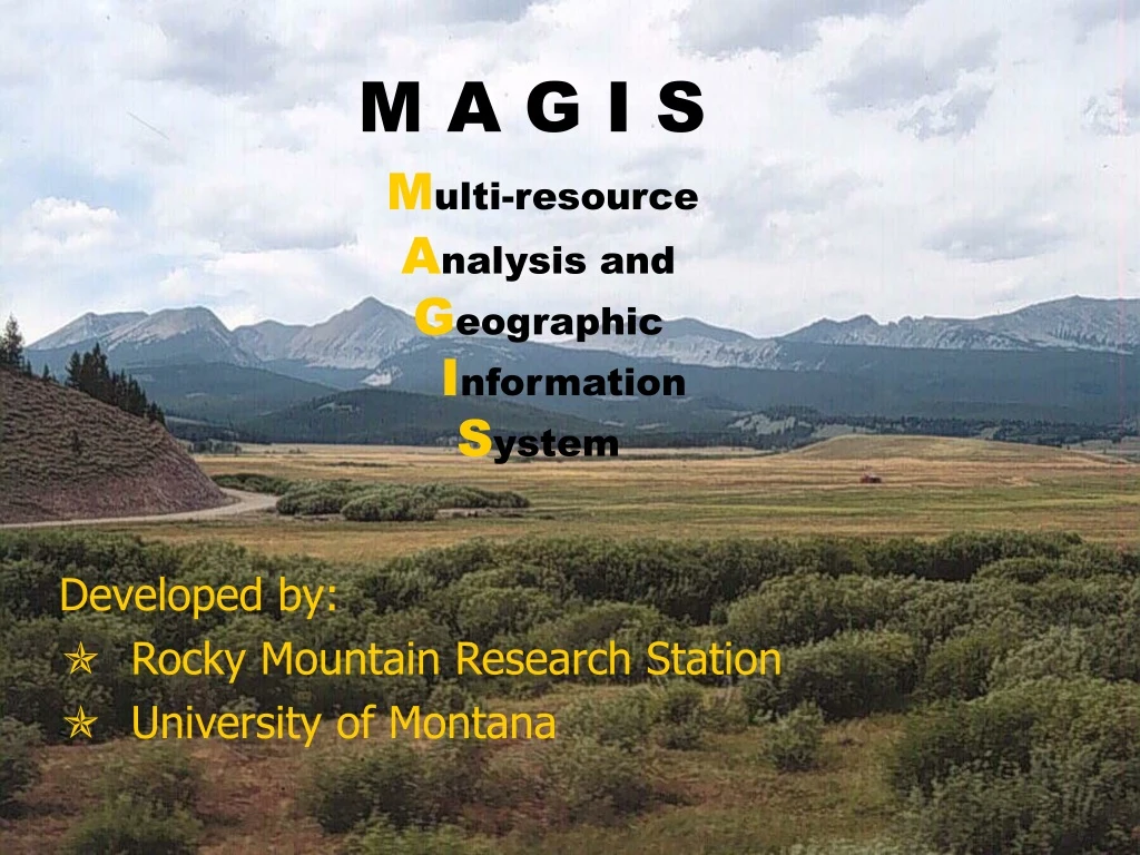
M A G I S M ulti-resource A nalysis and G eographic I nformation S ystem. Developed by: Rocky Mountain Research Station University of Montana. MAGIS Description. Schedules Vegetation Treatments User-specified Objectives Access availability Schedules Road Activites

E N D
M A G I SMulti-resource Analysis and Geographic Information System Developed by: • Rocky Mountain Research Station • University of Montana
MAGIS Description • Schedules Vegetation Treatments • User-specified Objectives • Access availability • Schedules Road Activites • User-specified Objectives • Access Needs • Solver analyzes vegetation treatments and road activities simultaneously
Why do optimization modeling? • Large problems not easily solvable by ‘back-of-the-hand’ modeling • Most prudent use of public money • Can save thousands of $$ • Most ‘efficient’ solution for veg and network problems • Ecosystem benefits balanced with economic benefits
maGIS based SPATIAL analysis GIS coverages used as data input
Land Management Parameters • Management Regimes • Prescribed Fire • Mechanical Thinning • Harvesting at various levels • Yarding methods • Vegetation Characteristics • Successional changes • Residual Volume and Growth • Mortality
Transportation Parameters • Road Activities • Construction (temporary or classified) • Reconstruction • Decommissioning • Traffic routing
Effects Functions • Harvest quantities • Acres with specified characteristics • Miles with specified characteristics • Costs • Net Revenues - - - - - - - - - - Each can be computed by zone, eg. Watershed
MAGIS Input • Pathways from SIMPPLLE (or other) • GIS data (veg polygons, network) • Fixed and Variable road/traffic costs • Growth increment model (percent) • Rules for treatment assignment • Rules for harvest volume • Effects functions parameters • Solution Setup-objective and constraints
MAGIS Output (Solution) • Schedule of treatments by polygon • Schedule of road projects by link • Value of each effects function • Map of treatment schedule • Map of road ‘schedule’ • Map displays of effects functions, traffic
MAGIS Scenarios Proposed Action Develop Alternatives Compare/Analyze Alternatives MAGIS in the Planning Process Analysis Area Goals and Objectives Priorities and Issues Human Judgment ID Team
Upper Belt Project Area Upper Belt Project Area
Sample Scenario 1 • Size Class Objectives • MIX = 0 % by decade 5 • POLE = 15 % by decade 5 • SEEDSAP = 15% by decade 5 • LARGE = 70% by decade 5 • Minimize Cost
Compare No Action & Scenario 1 No Action Scenario 1
Scenario 1 Stats … Vegetation Treatments (acres) Decade Harvest Volume Road Construction (mmbf) (miles) Decade Decade Total Cost = $6.2 million (Discounted)
Scenario 2 • Size Class Objectives • MIX = 0 % by decade 5 • POLE = 15 % by decade 5 • SEEDSAP = 15% by decade 5 • LARGE = 70% by decade 5 • No Road Construction • Minimize Cost
Scenario 1 Scenario 2
No Action Scenario 2 Scenario 1 Compare No Action & Scenarios
Scenario 1 and 2 Stats… Total Cost (discounted) Vegetation Treatments ($ millions) (acres) Decade Road Construction Harvest Volume (mmbf) (miles) Decade Decade
Comparing MAGIS Express and Pro… Express Pro Target Application Project Planning Watershed Analysis (5th code HUC+) ArcGIS Interfaces Yes Yes Modeling Options Simple Flexible Solver Heuristic (planned) Mathematical Programming
Comparing MAGIS Express and Pro… Express Pro _ Multiple Timber Products X X Non-timber outputs X Non-harvest activities X X Network Projects/Traffic X X Percent Growth Model X X State Growth Model X Fixed Road Cost Lookup Table X Fixed Road Cost by Link (GIS) X X Multiple Traffic Types X X Traffic Cost Lookup Table X Traffic Cost by Link/Rd Option X X
Connections with other models… SIMPPLLE Treatment Schedule MAGIS Express andPro Vegetative States And Pathways SIMPPLLE or other resource Simulation Models
Modeling Approach Calculated Overall Effects and Economics SIMPPLLE SIMPPLLE Step 3: 20 Simulations for Each MAGIS Scenario Step 1: 20 Simulations of No Action Location & Severity of Disturbance Processes Location & Severity of Disturbance Processes RISK INDEX MAGIS MAGIS Step 2: Optimization based on Management Objectives & Constraints Step 4: Apply SIMPPLLE treatment-process simulations to MAGIS Schedule of Treatments in Time & Space
Availability Information • MAGIS on web: • http://www.fs.fed.us/rm/4802/MAGIS • Technical Support ‘Hotline’ • jsullivan@fs.fed.us • 406-542-4185