Download
1 / 18
180 likes | 264 Views
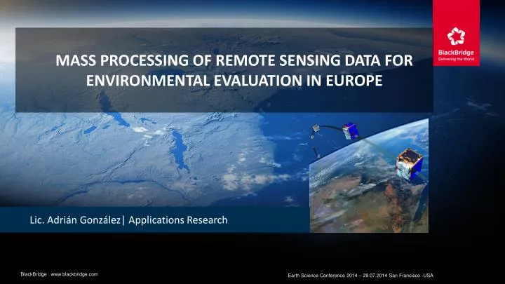
Mass processing of remote sensing data for environmental evaluation in Europe. Lic . Adrián González| Applications Research. BlackBridge | www.blackbridge.com. Earth Science Conference 2014 – 29.07.2014 San Francisco -USA. Project background.

E N D
Mass processing of remote sensing data for environmental evaluation in Europe Lic. Adrián González| Applications Research BlackBridge | www.blackbridge.com Earth Science Conference 2014 – 29.07.2014 San Francisco -USA
Project background 2012 - “GIO land” (Copernicus Initial Operations land program) • Contracted by EU – Technical coordination European Environmental Agency (EEA) • Methodology and generation of 5 thematic High Resolution Layers on Land Cover characteristics: impervious areas, forests, wetlands, water bodies and grassland of 39 European countries • Our consortium (Indra, Eurosense and BlackBride) won the bid for Permanent Grassland generation
Opportunity and challenge • Start of project: March 2012 • Number of countries to be processed: 39 • Area to be covered: about 6 millions km2 • Requested overall minimum accuracy: 80% • Project time: 30 months • Time for process development and server set up: 8 month • Real working time less than 18 months • Only chance: automation
Grassland Monitoring in europe Permanent grassland HRL product across Europe Grasslands are highly important for Europe, … and highly variable !!!
Processing schema Permanent grassland HRL product across Europe Image Objects Multi-Temporal Images in GeoDB Segmentation Data extraction Texture Parameter Result Min Seasonal Statistics Max. Mean BPP Range TOA correction Decision Tree Classification Std. Dev tn Mad Definition of WU Image Selection & Calculation of bio-physical parameters t2 C5 t1 Training
Technical description of the mass processing (1) INPUT DATA • Remote sensing image repository over 39 countries • IRS images – Spatial resolution 20 meters – 140x140 km • Awifs images – Spatial resolution 60 meters – 370x370 km • RapidEye images – Spatial resolution 20 m – 25x25 km • RapidEye images – Spatial resolution 5 m – 25x25 km • Spot images – Spatial resolution 20 m – 60x60 km • All images parameters and geometries stored in a Spatial Database to optimize performance
Continent coverages EU 39 in 24 months
Processing (1) Multi-Temporal images IRS Awifs RapidEye Spot Spatial Database TOA correction Definition of the Work Unit (WU)
Processing (2) – Definition of the Work unit • Europe divided in Work Units • Core of the processing schema • Work Unit = IRS image from 2012 • National projection system used • Boundary used to clip all other images
Overview on work units - Spain • Example: Spain – Approx. 120 Work Units
Processing (3) Image Selection & Calculation of vegetation parameters Texture parameters • NDVI • PSRI • WI • Brightness • Ground Coverage • NDII • NDVSI Min Seasonal Statistics Max. Mean Range Std. Dev tn Mad t2 t1
Large Area Mapping of Vegetation Parameters Ground Cover NDVI
Processing (4) Image Objects Result Decision Tree Classification C5 Segmentation Training
Technical description of the mass processing (2) PROCESSING ENGINE • Hardware • Dedicated server (16 cores – 32 Gb RAM) • 20 Tb Online storage – 40 Tb Stand by storage • Production requirements: 24x7 • Dedicated delivery server – Delivery method FTP • Daily incremental backups
Technical description of the mass processing (3) PROCESSING ENGINE • Software • Programming language: Python • Base on Open Source Libraries (Gdal and OGR) • About 5000 lines of code in seven different modules • All software programmed in house
conclusions • All 39 countries in Europe processed • All overseas territories processed • Total project time shortened: from 18 to 14 months • Second run to cover image gaps performed • On site country verification in progress
Grassland Monitoring in europe • Overall accuracy for Hungary = 92 %
Thanks for your attention • Lic. Adrian Gonzalez • Applications Research • +49 30 609 8300 313 • adrian.gonzalez@blackbridge.com