Download
1 / 10
150 likes | 485 Views
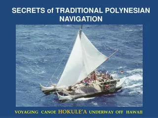
Polynesian Astronomy. Brittany Arcila Matthew Brunson MS332 Astronomy 1 November 2012. http:// www.geographicguide.com /pictures/ oceania-map.jpg. Polynesian Islands. Main Islands American Samoa (Territory of the United States)

E N D
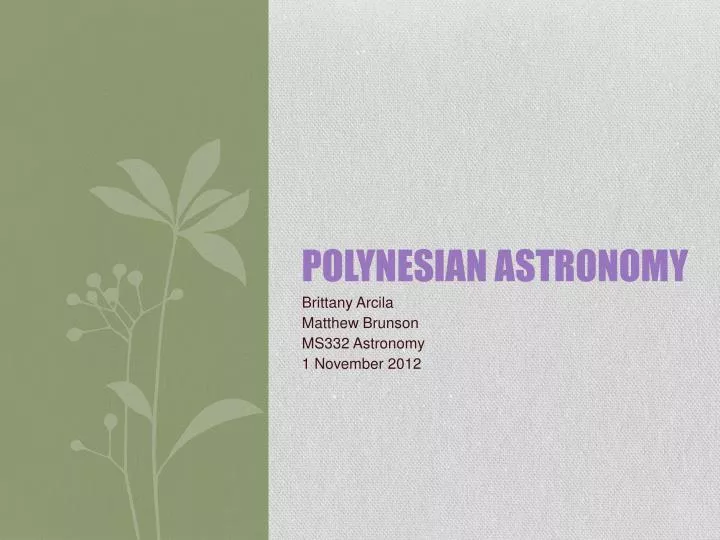
Polynesian Astronomy Brittany Arcila Matthew Brunson MS332Astronomy 1 November 2012
Polynesian Islands • Main Islands • American Samoa (Territory of the United States) • Cook Islands (self-governing state in free association with New Zealand) • Easter Island (called Rapa Nui in Rapa Nui, politically part of Chile) • French Polynesia (overseas country, a collectivity of France) • Hawaii (a state of the United States) • New Zealand (independent nation) • Niue (self-governing state in free association with New Zealand) • Norfolk Island (an Australian External Territory) • Pitcairn Islands (a British Overseas Territory) • Samoa (independent nation) • Tokelau (overseas dependency of New Zealand) • Tonga (independent nation) • Tuvalu (independent nation) • Wallis and Futuna (collectivity of France) • Rotuma (Fijian dependency)
Origins http://www.puretravel.com/uploadedresources/continents/subcontinents/countries/Beach%20and%20island%20Samoa_20090428152239.jpg • Started about 2000-500 BC • Evolved in unique cultures in areas of Savai’i and Upolu, Samoa and Tonga • Savai’i was considered the motherland • Each island maintained a guild of navigators who had a very high status • In times of difficulty, they would travel to near by islands for aid or to evacuate people some where else
Navigation System Able to navigate up to 5,000 miles by using only primitive charts and a keen observation of the heavens By the stars they had organized their yearly cycle of their daily lives Using the stars and the sun as a reference to steer their canoe in the oceans They used the night sky like how we use a chronometer, compass, and charts http://en.wikipedia.org/wiki/File:Priests_traveling_across_kealakekua_bay_for_first_contact_rituals.jpg
Navigation System • Although we know how they used the stars, there are no actual documents to show how • The Gilbetese navigator considers the sky as a vast roof and calls it Uma-Ni-Borau, “the roof of voyaging” • He called the eastern horizon, “Roof-plate of the east” and the western horizon, “Roof-plate of west” http://www.sailingwarship.com/wp-content/uploads/2008/05/harrisons-h4-chronometer-1760-1440.jpg http://www.sailingwarship.com/wp-content/uploads/2008/05/harrisons-h4-chronometer-1760-1440.jpg http://www.worshipperiod.com/wp-content/uploads/2012/06/Compass.jpg
Using the Stars http://twanight.org/newTWAN/photos/3001206.jpg • Had an extensive knowledge of astronomy • Ethnographers in the 19th century and early 20th centuries recorded a large number of stars, planets, nebulae (Such as the Magellanic Clouds), areas of the Milky Way, etc. • It was mostly things that were visible to the sky—as well as for purely conceptual constructs related to the motions of the heavenly bodies. • The use of astronomy was mostly for survival, not to study from it
Stick Chart & Compass http://ageofex.marinersmuseum.org/mm_images/N25_MarshallIslandStickChar_large.jpg When Captain James Cook was conducting voyages, the Polynesians had developed this tool that was not based of off math or science. But rather the knowledge of the seas and sky The compass was the key to finding the direction at sea The 4 points, (north, south, east, west) were arranged according to the rising and setting sun http://pvs.kcc.hawaii.edu/images/malama_waa/star_compass_with_English_web.gif
Easter Island • Covers 64 square miles in the South Pacific Ocean • Located 2,300 miles from Chile’s west coast 2,500 miles of Tahiti • It was known as Rapa Nui to early inhabitants • Late 19th century the island was taken over by Chile, became and economically based on tourism http://www.personal.ceu.hu/students/08/Szandra_Gonzalez/Easter%20Island.html
Easter Island Continued... 1722, when the Dutch arrived, the island was then called Easter Island The most popular aspect of the island are the stone figures that date back many centuries Stone figures stand at 900 feet tall images.adventure-life.com/2008/11/01/lg/wxr6v564.jpg