Download
1 / 13
150 likes | 297 Views
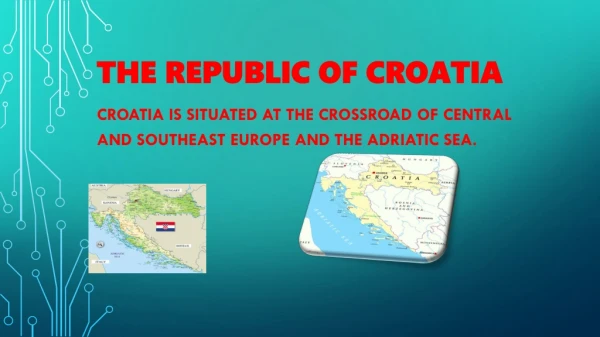
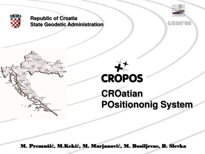
Republic of Croatia State Geodetic Administration. CROatian POsitiononig System. M. Premužić, M.Kekić, M. Marjanović, M. Bosiljevac, B. Slevka. Introduction. The goal of the CROPOS project is to establish a unique national system of reference GNSS stations of the Republic of Croatia. Goals.

E N D
Republic of Croatia State Geodetic Administration CROatian POsitiononig System M. Premužić, M.Kekić, M. Marjanović, M. Bosiljevac, B. Slevka
Introduction • The goal of the CROPOS project is to establish a unique national system of referenceGNSS stations of the Republic of Croatia.
Goals • CROPOS system will enable: • more precise positioning throughout the whole state territory • simpler, faster and more efficient geodetic survey performance • unique measurement methods and standardization in performing of geodetic works • application of a new geodetic datum of the Republic of Croatia
New official geodetic datum • On 4th of August 2004 the Government of the Republic of Croatia has adopted a decree on establishingnew official geodetic datum and map projectionsfor the Republic of Croatia. • Implementation of new official geodetic datum and map projections into official use until January the 1st 2010 at the latest. Croatian Terrestrial Reference System – HTRS’96 - New official system of the Republic of CroatiaisdefinedonETRS89 - Basic positional network – 78 geodetic control points
CROPOS network design: • 30 reference • stations • distances of 70 km • whole territory of • the Croatia • installed on • regional and local • cadastre offices
CROPOS concept • collecting GNSS measurementsfrom the reference stations that will be placed at 30 locations at the territory of the Republic of Croatia • connecting the reference stations with control centre (measuring data transfer into control centre) • data processing and adjustment, computation of network solution and calculation of real – time correction parameters (VRS) • distribution of measuring data and real – time corrections to the users through the mobile Internet
CROPOS components: • 30 GNSS reference stations • communication and • network equipment • contol centre • security equipment • system users
CROPOS characteristics • positioning of points in real time with accuracy of ± 2 cm (positional) and ± 4 cm (vertical) at the territory of the entire state • reference station real-time GNSS data exchange with the neighbouring countries • monitoring of the system operation and users support • 24/7 service availability
Realization of project • Project started (2004) • Feasibility study - GTZ support • Phare 2005 Program • Tender documenation and • Technical specifications • Publicy competition: • Tender launched – 4th of May 2007 • Contract signed – 28th of November 2007 • Project documentation: • Network design, reference station locations • (finished in June 2006) • Technical prerequirements: • ICT infrastructure project is finished • Installation of antenna carriers (90%) • and construction of tribrach
Future activities • Delivering and installation of equipment on reference stations and control centre • System configuration and optimization • Networking the whole system and on trial operation • Testing the system operation in real field conditions • Employee education on system maintenance and user support • CROPOS in full funcionality – the end of 2008
Conclusion • Implementation of CROPOS will enable faster, more efficient and cost effective process of state survey and real estate cadastre jobs and will speed up the implementation of an efficient Integrated Land Administration System.