Download
1 / 17
200 likes | 387 Views
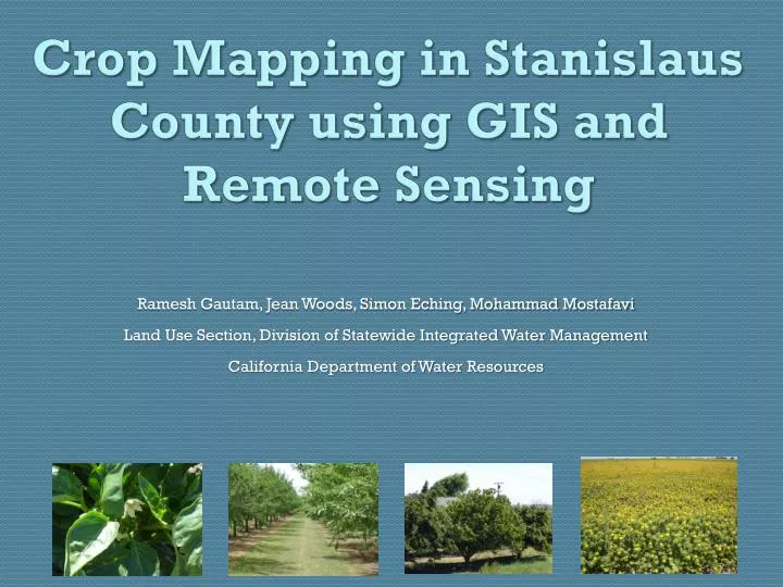
Crop Mapping in Stanislaus County using GIS and Remote Sensing. Ramesh Gautam, Jean Woods, Simon Eching, Mohammad Mostafavi Land Use Section, Division of Statewide Integrated Water Management California Department of Water Resources. Usefulness of Land Use Mapping.

E N D
Crop Mapping in Stanislaus County using GIS and Remote Sensing Ramesh Gautam, Jean Woods, Simon Eching, Mohammad Mostafavi Land Use Section, Division of Statewide Integrated Water Management California Department of Water Resources
Usefulness of Land Use Mapping Quantify crop acreage based on crop types Estimate evapotranspiration Determine urban landscape acreage Input for groundwater and surface water models Verify fields fallowed for water transfers Map urban growth patterns Estimate economic impacts of flooding
Why Remote Sensing Based Crop Mapping is Needed Reduce the extent of required field mapping by identifying permanent crops Accurately assess crop acreage Estimate annual crop water use for the California Water Plan Accurately estimate evapotranspiration on a field level Determine the annual extent of fallowing Verify fields fallowed for water transfers
Study Area Stanislaus County Area: 1,515 sq mile Population: 515,000
Overall Crop Mapping Strategy All Crops Corn, Mixed Pasture, Fallow, Dry Beans, Tomato, Melons Decision Tree Based Classification Orchards Non-Orchards Time series based Vegetation Index Analysis LCRAS Based Classification Vineyards Alfalfa Autocorrelation & LIDAR
Decision Tree Classification Technique Classify orchards from non-orchard crops Gray Level Co-occurrence Matrix Algorithm was used to classify orchards Textural patterns distinguish orchards from other crops eCognition Developer software was used to develop the algorithm
Data Processing Textural parameters are analyzed to evaluate the fields having coarse texture versus fine texture
First Level of Classification: Results Orchards Non-orchards Bare land and new orchards Farmsteads LEGEND Urban area Poultry farms Highways/Roads Recently planted orchards were classified in next level as shown in next slide
Second Level of Classification: Results Orchards Non-orchards Bare land and new orchards Farmsteads LEGEND Urban area Poultry farms Highways/Roads How recently planted orchards have been captured in second level of classification
Final Classification Orchards Non-orchards Bare land and new orchards Farmsteads LEGEND Urban area Poultry farms Highways/Roads
Mapping Non-Orchards using Lower Colorado River Accounting System (LCRAS) Ground Truth Survey Develop Personal Geo-database of Ground-truth data in ArcGIS Collect Crop Attributes (12% of Total Fields) Randomly Select Training Data (60%) QC Ground Truth Data Perform Image Segmentation in eCognition Developer for Training Data Update Field Border Database Create Signatures in Erdas Imagine
Data Processing Using eCognition Developer software, crop fields are segmented into polygons of similar spectral characteristics.
LCRAS Classification Method Cont’d… Perform Accuracy Assessment LANDSAT-5 Image Bands 1-5 and 7 Overall Classification ≥ 90%? Yes Perform Supervised Classification of Spectral Characteristics No End Identify Crops at the Field Level Based on Classification Identify Mislabeled Fields Based on Ground Truth Re-evaluate signature sets