Download
1 / 35
350 likes | 447 Views
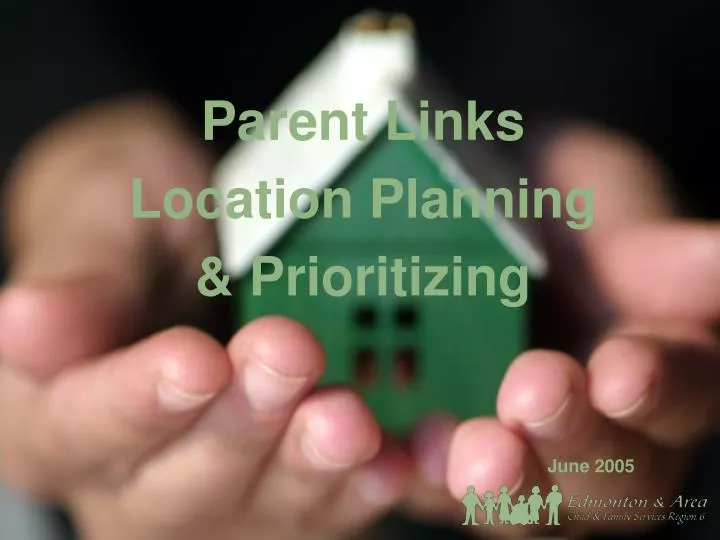
Parent Links Location Planning & Prioritizing. June 2005. Introduction. 2004 to 2009 – A total of 11 Parent Link Centres will be developed in Region 6. Funding for the first 3 PLCs was received in 2004/05 and the first Parent Link Centres are located in: Strathcona County Millwoods

E N D
Introduction 2004 to 2009 – A total of 11 Parent Link Centres will be developed in Region 6. Funding for the first 3 PLCs was received in 2004/05 and the first Parent Link Centres are located in: • Strathcona County • Millwoods • Stony Plain (designated Aboriginal Centre). Goal -- to ensure that PLCs are located throughout the Region in areas accessible to children and families most in need of their services.
Process Determine the location of the remaining 8 Parent Link Centres; Prioritize the order in which the PLCs should be established; Facilitate the development of local community planning groups in each area that will receive a PLC.
Parent Link Centre Survey Completed by 159 participants at 8 information sessions
Parent Link Centre Survey Possible criteria for locating Parent Link Centres: • Number of children aged 0 – 9 • Percent of total population that is aged 0 – 9 • Medium and high-risk socially vulnerable populations • High Intervention Services caseloads (i.e. Protection/Family Enhancement/Child Welfare) • High caseloads with Family Supports for Children with Disabilities • Scarcity of existing services for families with young children • Existence of some services with the capacity to facilitate the development of a PLC
Social Vulnerability Indicators Unemployment rate – percent of the labour force that is unemployed; Low income – percent of families with incomes under the low income cut off (LICO); Education – percent of the population 20 years and older with less than a high school diploma; Lone Parent Families – percent of all families headed by a lone parent; Language – percent of the total population whose first language is neither official language; Immigration – percent of the population that immigrated to Canada in the previous 10 years (1991 – 2001); Mobility – percent of the population that moved during the previous year; Owned dwellings – percent of households that are owned by the residents; Government transfers – percent of total income received from government transfer payments.
Other Information Population of Major Centres in Region 6 Data source: Alberta Municipal Affairs. 2004 Official Population List.
Maps! “A small, relatively stable geographic unit composed of one or more blocks. It is the smallest standard geographic area for which all census data are disseminated. DA.s cover all the territory of Canada....DAs are uniform in terms of population size, which is targeted from 400 to 700 persons to avoid data suppression.” Dissemination area (DA): “Small, relatively stable geographic areas that usually have a population of 2,500 to 8,000. They are located in census metropolitan areas and in census agglomerations with an urban core population of 50,000 or more in the previous centre." Census tract (CT): Source: Statistics Canada. 2001 Census Dictionary.
Criteria #1 – Social Vulnerability: Map set includes: • Region 6 Social Vulnerability Levels • City of Edmonton Social Vulnerability Levels • Strathcona County Social Vulnerability Levels • Leduc County Social Vulnerability Levels • Parkland County Social Vulnerability Levels • East Yellowhead County Social Vulnerability Levels • Sturgeon County Social Vulnerability Levels
Criteria #2 – Scarcity of Services: Map set includes: • Region 6 NCCYF Worksites • Region 6 Daycare Programs • Out of School Care Programs • Elementary School Programs • Health Centres • Prevention and Early Intervention Programs • Parent Link Centres • Prevention, Early Intervention Programs, Health Centres, NCCYF Worksites and Parent Link Centres
Criteria #3 – Child Protection and Family Enhancement Caseloads: Map set includes: • Caseload Totals by NCCYF Worksite
Criteria #4 – Child Population: Map set includes: • Population 0 – 9 Years within Region 6
Criteria #5 – Population Aged 0 – 9 as a Proportion of Total Population: Map set includes: • Percentage of the Population 0 – 9 Years Old within Region 6
Decision Making Whether one or more of the centres should be designated as serving the Aboriginal community; An equitable process for ensuring that Parent Link Centres are located throughout the region in both rural and urban communities; Specific areas in which to locate the PLCs; and Order of priority in which PLCs should be developed.
Outcome Designated Aboriginal centre to be located in the central/east part of Edmonton Sturgeon County/Fort Saskatchewan North East Edmonton Leduc County West End Edmonton (Jasper Place and west) Parkland County South West Edmonton (Ermineskin/Twin Brooks area) St. Albert/Castledowns