Download
1 / 28
280 likes | 409 Views
INMAP 2005 Elevation Datasets. Anna Radue University Information Technology Services (UITS) Indiana University. INMAP05 Elevation Data. Created from 2005 Indiana orthophotography imagery collected in March & April, 2005 65,670 DEM ERDAS *.img files (~200 GB) 34,161 stple images

E N D
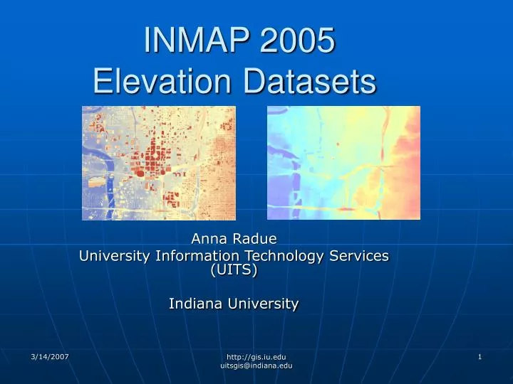
INMAP 2005 Elevation Datasets Anna Radue University Information Technology Services (UITS) Indiana University http://gis.iu.edu uitsgis@indiana.edu
INMAP05 Elevation Data • Created from 2005 Indiana orthophotography imagery collected in March & April, 2005 • 65,670 DEM ERDAS *.img files (~200 GB) • 34,161 stple images • 31,509 stplw images • 800 x 800 pixel *.img images • 2.78 MB *.img file and 0.3 MB *.rrd http://gis.iu.edu uitsgis@indiana.edu
DEM and DSM Image Properties • Cell size (X,Y): 5 feet, 5 feet(4,000 ft x 4,000 ft) • Source Type: • Continuous • 32 bit floating point • Uses 4bytes/pixel for storage • Supports decimals • Elevation Units: Feet http://gis.iu.edu uitsgis@indiana.edu
Accuracy • Horizontal • Better than 5 feet at 95% conf level for 1 FT counties • Better than 2.5 feet at 95% conf level for 6 inch counties • Vertical • Compiled to meet 6 foot vertical accuracy at 95% conf level • Suitable for automated compilation of 10ft contours http://gis.iu.edu uitsgis@indiana.edu
2 Ft Contours • Higher accuracy contours can be produced but only with additional ground control points, re-triangulation of the datasets, and stereo-compilation of breaklines as required. • Dearborn County and City of Bloomington have purchased http://gis.iu.edu uitsgis@indiana.edu
Digital Surface Models (DEM) http://gis.iu.edu uitsgis@indiana.edu
Digital Surface Models (DSM) http://gis.iu.edu uitsgis@indiana.edu
32bit Floating Data • Challenge to load to ArcSDE geodatabase raster dataset • Required using ArcSDE 9.2 sderaster • Tried loading using Python scripting, but memory leaks with ArcGIS 9.1; loading failed after loading ~200 images http://gis.iu.edu uitsgis@indiana.edu
ArcSDE Raster Dataset • Valuable to load images to raster dataset as any misaligned or corrupt images found. • Sderaster command • loads only TIFF or BSQ files • Exported *.img files to Geotiff format • Loaded with command line using LZ77 (lossless) compression • Could visualize entire state • Geotiff files available for download from ISDP http://gis.iu.edu uitsgis@indiana.edu
DEM Index http://gis.iu.edu uitsgis@indiana.edu
DEM STPL Raster Datasets http://gis.iu.edu uitsgis@indiana.edu
DSM STPL Raster Datasets http://gis.iu.edu uitsgis@indiana.edu
ChallengeCreate Single Statewide Dataset • Mosaic stpl *.img images by county • Reproject to UTM • Cell size ? • Resampling method? • Subset to remove invalid DNs and no data areas • Load Data to ArcSDE raster dataset • Archive county mosaics on ISDP http://gis.iu.edu uitsgis@indiana.edu
Cell Size • STPL imagery 5 ft (1.524m) pixels • UTM selected 1.5 meters to most closely approximate spatial resolution of original imagery • Changing to 1 meter pixels would more than double the size of the imagery http://gis.iu.edu uitsgis@indiana.edu
1m 1m 1m 5ft 5ft 1m 5ft 1m 5ft 1m Determining Pixel Size 1.5m 1.5m 1.5m 1.5m 32 bit floating data stores 4 bytes/pixel 4 pixels/image * 4 bytes/pixel = 16 bytes/image 9 pixels/image * 4 bytes/pixel = 36 bytes/image 36/16 = 2.25 http://gis.iu.edu uitsgis@indiana.edu
Pyramid Resampling Methods • Nearest Neighbor • Does not create new values • Categorical data – landuse • Can be used on continuous data but the results can be blocky • Bilinear Interpolaton • Creates new values • Used for elevation data • Cubic Convolution • Good for smoothing continuous data • Computationaly intensive http://gis.iu.edu uitsgis@indiana.edu
Results from Resampling Gray Valid DN Red No Data (0 DN) Green Invalid DNs Result bilinear interpolation http://gis.iu.edu uitsgis@indiana.edu
Subsetting • Difficult for border counties, required multiple subsets • Important to subset to create images which align with raster dataset grid • Use coordinates for whole pixel values http://gis.iu.edu uitsgis@indiana.edu
County DEM MosaicsUTM & STPL • Large files 1-3 GB • Stateplane • IMAGINE, tiled • No NoData pixels • UTM • Striped, GeoTIFF • Border Counties have NoData (0) http://gis.iu.edu uitsgis@indiana.edu
TIFF Format 6.0 Spcs Tiled 64x64 pixels Striped - default http://gis.iu.edu uitsgis@indiana.edu
TIFF Tile Format • Image is broken in square tiles (64x64 pixel), each tile is loaded separately into memory and can be accessed independently of other tiles • All tiles in an image are the same size (4096 pixels/tile) • Border tiles are padded to the tile boundaries • If image is 800 pixels wide, then the image is stored as 13 tiles wide - 32 pixels are added for padding to fill rightmost column of tiles 800/64 = 12.5 832/64 = 13 • Good viewers do not display pixels used for padding • Method used by ERDAS IMAGINE for .img files • Good for high-resolution, large images • Applications can access imagery more efficiently • Better compression with this format • ArcGIS 9.1 & 9.2 support, earlier versions do not • Other software may not support? http://gis.iu.edu uitsgis@indiana.edu
Setting TIFF Output Format http://gis.iu.edu uitsgis@indiana.edu
Image Information ERDAS IMAGINEINMAP 2005 DEM.img – Tiled Format 64 pixel x 64 pixel tiles 13 tiles/image http://gis.iu.edu uitsgis@indiana.edu
Striped Geotiff created from tiled DEM.img Stripe format 800 pixels x 8 pixelstrip 100 stripes/image http://gis.iu.edu uitsgis@indiana.edu
Size of Striped and Tiled Images *IMG (tiled) format (800x800 pixels): 2,782,240 bytes TIF (stripe) format (800x800 pixels): 2,561,691 bytes 800x800 4bytes/pixel : 2,560,000 bytes/image IMG (tiled) format (832x832 pixels): 2,785,163 bytes TIF (stripe) format (832x832 pixels): 2,777,675 bytes TIF (tiled) format (832x832 pixels): 2,773,747 bytes 832x832 4bytes/pixel: 2,768,896 bytes/image * Format of INMAP05 DEM Imagine files http://gis.iu.edu uitsgis@indiana.edu
TIFF Format - Summary • IMAGINE file format is tiled • Default output TIFF format for ERDAS IMAGINE is striped unless preferences changed • Tiled image has padding if rows and columns not divisible by 64 – increases image size without adding information • Tiled Tiff – compresses better with Winzip than striped image • Clark County DEM • Striped: 2.007 GB • Tiled: 1.759 GB http://gis.iu.edu uitsgis@indiana.edu
Acknowledgements • ArcSDE/Oracle ConsultantMannion Geosystems, LLC • Data Management Support, UITS • Michael Halla, Manager • Stephanie Snider • Research and Technical Services, UITS • Digital Storage Services Group, UITS http://gis.iu.edu uitsgis@indiana.edu
?uitsgis@indiana.edu Access data http://gis.iu.edu