Download
1 / 19
190 likes | 203 Views
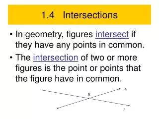
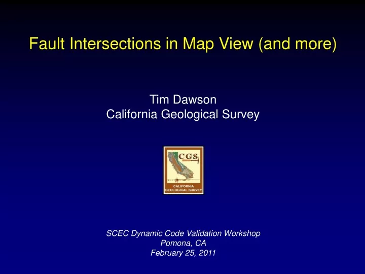
Fault Intersections in Map View (and more) Tim Dawson California Geological Survey SCEC Dynamic Code Validation Workshop Pomona, CA February 25, 2011. 2010 Fault Activity Map of California. Updated version of 1975 and 1994 maps by Jennings Compiled at original resolution of source maps

E N D
Fault Intersections in Map View (and more) Tim Dawson California Geological Survey SCEC Dynamic Code Validation Workshop Pomona, CA February 25, 2011
2010 Fault Activity Map of California • Updated version of 1975 and 1994 maps by Jennings • Compiled at original resolution of source maps • Companion digital database (GIS data) available as the USGS Q-faults compilation
2010 Fault Activity Map of California Also viewable on Google Maps interface on CGS website: http://www.quake.ca.gov/gmaps/GMC/stategeologicmap.html or Google:
Some Examples from California San Andreas - San Jacinto – Cucamunga fault intersection
Some Examples from California San Jacinto fault: Anza/Clark – Coyote Creek stepover
Some Examples from California San Andreas – Garlock fault intersection
Some Examples from California 1992 Landers rupture and Pinto Mountain fault
Some Examples from California 1999 Hector Mine: Complex rupture at fault intersection
2002 Denali Earthquake 2002 Denali earthquake: “Simple” fault intersection
Denali-Totschunda Intersection 45 Sun Angle 0 1 km Open Topography Schwartz and others, in prep
Denali-Totschunda Intersection 45 Sun Angle Initiation of fault separation Eastern Denali BRANCH POINT 0 500 m Totschunda Open Topography
Combined Geology – Relocated Seismicity Jim Lienkaemper, USGS
Hosgri – Shoreline fault intersection PG&E, 2010
1999 Izmit Rupture, North Anatolia fault 1967 Murdunu Valley earthquake
Integrated Geology, Geophysics, Seismicity Hayward – Calaveras Intersection Model USGS (GUMP)
Integrated Geology, Geophysics, Seismicity Hayward – Calaveras Intersection Model USGS (GUMP)
Gravel Hills – Harper Lake – Calico faults Some Examples from California Blackwater fault Gravel Hills – Harper Lake Camp Rock fault Calico fault
Take Home Points: • Fault intersections at the surface are both simple and complex, both as mapped traces and in earthquake ruptures • How do changes in fault orientation effect the ability of ruptures to propagate? Do dynamic rupture models fit the observations? • Surface mapping is only one part of the story: Integration of geology, geophysics, and seismicity helps to define the 3-D geometry of fault intersections • Our current fault models are over-simplified, however we have very few constraints on the actually geometry for most faults.