Download
1 / 12
120 likes | 126 Views
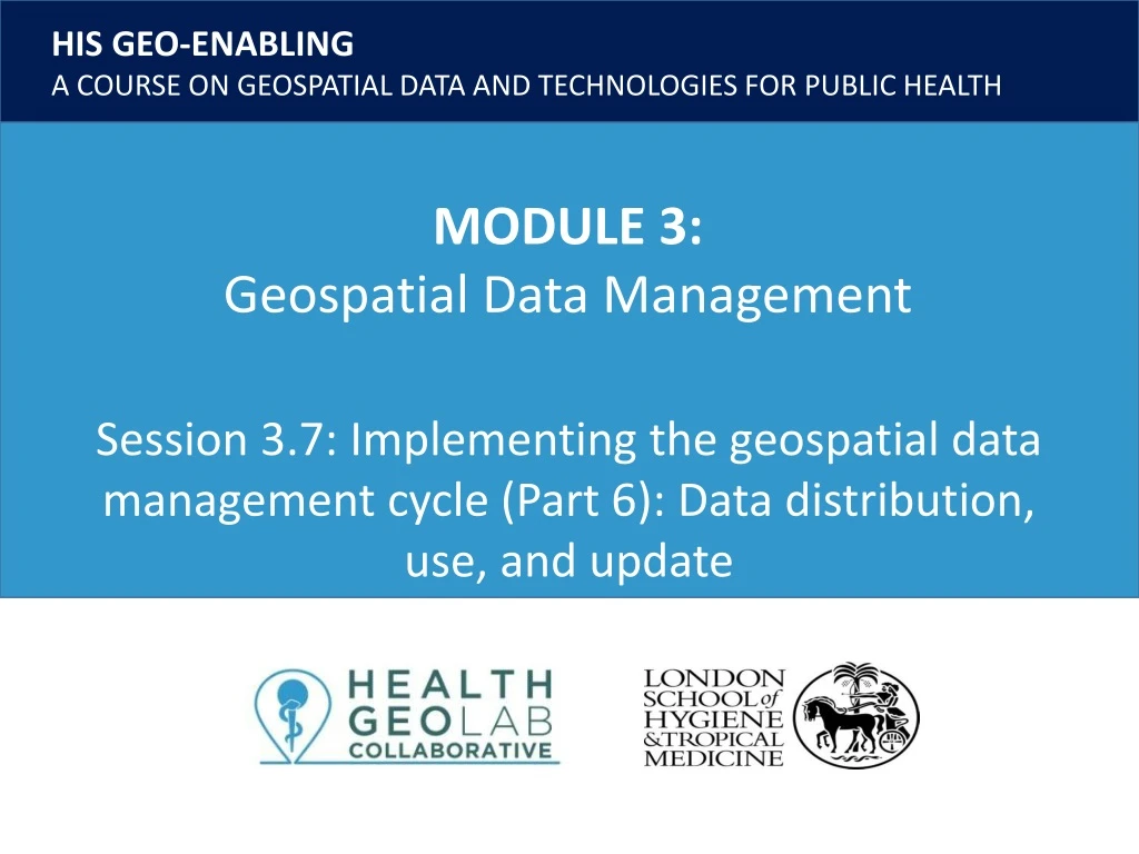
Session 3.7: Implementing the geospatial data management cycle (Part 6): Data distribution, use, and update. Key terms used in this session.

E N D
Session 3.7: Implementing the geospatial data management cycle (Part 6): Data distribution, use, and update
Key terms used in this session Common geo-registry: IT solution that allows the simultaneous hosting, management, regular update and sharing of the authoritative lists for the geographic objects core to public health. Data: Facts and statistics collected for reference or analysis Geospatial data: Also referred to as spatial data, information about the locations and shapes of geographic features and the relationships between them, usually stored as coordinates and topology. Statistical data: Also attribute data. Nonspatial information about a geographic feature, usually stored in a table that can be attached to a geographic object through the use of unique identifier or ID
Distributing and using the data • Once all the data has been cleaned, validated, and documented, it is now ready for distribution and use. • The data may be distributed as ‘raw’ data, or as data products after it has been used to generate maps, graphs, or charts. 3
Distributing and using the data The cleaned and validated data can now be used and distributed. Share with other institutions/ individuals Create maps Cleaned and validated Geospatial and Statistical Data Do spatial analyses and modelling Create tables/graphs 4
Distributing and using the data Caveat • Always be mindful of restrictions when using and/or distributing data. It is important to remember that only data that does not have use or redistribution restrictions should be shared. Not all data can be used or distributed further than you or your institution! 5
Using the data Creating thematic maps • One of the ways to use the collected data is to create thematic maps. This topic is discussed in more details in Module 5. 6
Updating the data • The next step in the geospatial data management cycle is updating the data. 7
Updating the data We live in a constantly changing world Geospatial data is like a picture By the time you “develop” the picture the view has already changed Needs to be regularly updated in order to be representative of the evolution of the situation and take informed decision Updating mechanisms will need to be put in place for both the master list and the attributes 8
Updating the data • The common geo-registry is a technological solution that can simultaneously host, maintain, update, and openly share master lists of geographic objects core to public health and relationships, together with their associated data, including geography stored in a GIS readable format. • Pending the realization of a fully working common geo-registry, other mechanism can be used such as Google Sheets. 9 Guidance on the establishment of common geo-registry: http://bit.ly/2My58s6
Updating the data Along with geospatial data, statistical data should also be updated. • Data that are collected regularly like routine health data are easier to update • Data that are collected through field survey or census takes longer time and uses more resources are usually updated only every few years (5 to 10 years) 11
Continue your learning You have now learned the different steps in the geospatial data management cycle. The succeeding modules will teach you more about geospatial technologies such as GNSS and GIS software (Module 4) and how to create good thematic maps (Module 5) 12