Download
1 / 27
270 likes | 277 Views
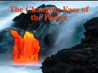
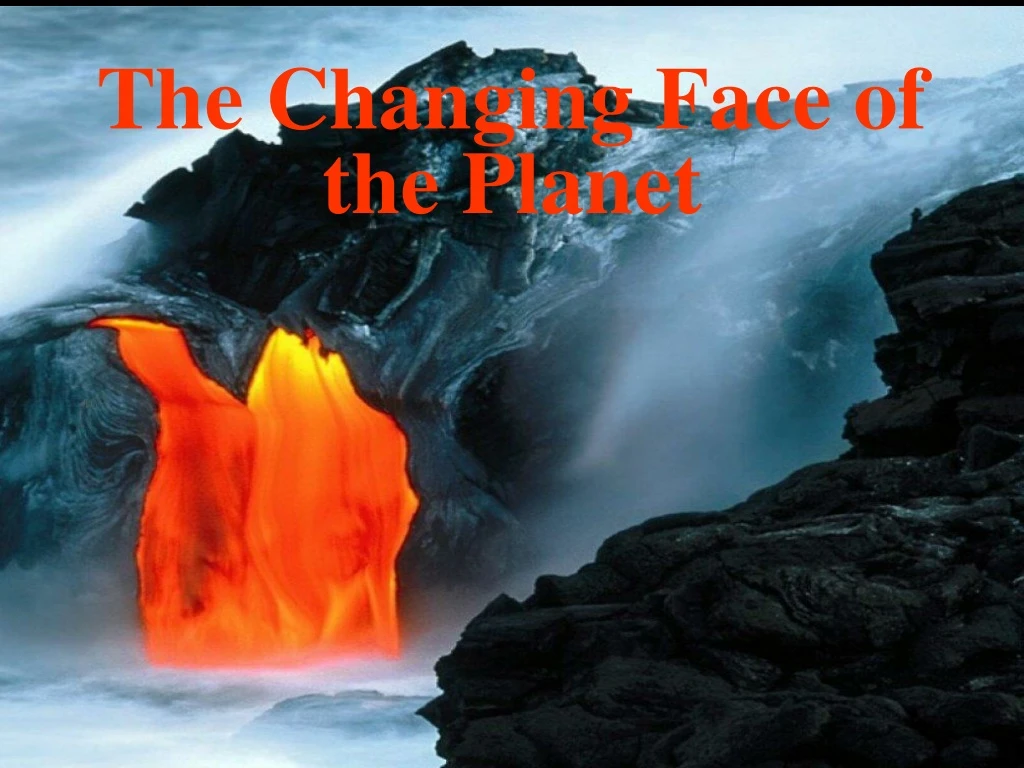
The Changing Face of the Planet. Earth’s Interior. Information gathered about the Earth’s interior comes from direct evidence from rock samples and indirect evidence from seismic waves

E N D
Earth’s Interior Information gathered about the Earth’s interior comes from direct evidence from rock samples and indirect evidence from seismic waves • Rocks from inside the Earth, as well as those ejected during volcanic eruptions, give geologists clues about Earth’s interior • Earthquakes produce shock waves that travel through the Earth • Changes occur in the movement of seismic waves due to differences in the structure and makeup of the Earth’s interior • Scientist have determined what the interior looks like by monitoring the path and speed of seismic waves
The Earth’s Interior • The four layers of the Earth are the crust, mantle, inner core and outer core • These layers vary greatly in size, composition, temperature, and pressure
The Earth’s Crust • The crust is the Earth’s outermost layer • Made up of three types of solid rock • Thickness varies with type • Oceanic crust (makes up the ocean floor) • Less than 10 Km thick • Consists mostly of basalt • Continental crust (makes up the landmasses) • Average thickness of about 32 Km • Made mostly of granite
The Earth’s Mantle • Earth’smantle is made up of rock that is very hot, but solid • Divided into layers based on the physical characteristics of those layers • Extends to a depth of about 3000 Km below the surface • Contains about 80% of the volume of the Earth and 68% of its mass • Made mostly of the elements silicon, oxygen, iron, and magnesium • Density increases with depth
Divisions of the Earth’s Mantle • Mohorovicic discontinuity (Moho)-Boundary separating the crust from the mantle • Lithosphere- • Topmost solid part of the Earth • Composed of the crust and part of the upper mantle • Broken into large sections called plates • Asthenosphere- • Located directly beneath the lithosphere • A hot weak zone, capable of gradual flow • Rock in this portion of the mantle can flow like a thick liquid (Has plasticity) • Lower mantle- • Zone of solid rock, located directly beneath the asthenosphere, and extends to the core
The Earth’s Core • The Earth’s core is subdivided into two layers, and inner and outer core • Both layers are composed mostly of the metals iron and nickel
The Outer and Inner Cores Outer Core-Layer of the molten metal surrounding the inner core • High temperatures keep the iron and nickel in the outer core molten Inner Core- Dense ball of solid metal found at the Earth’s center • Intense pressure causes the particles of iron and nickel to remain solid • The inner core rotates within the outer core
The Core & Earth’s Magnetic Field • Scientists think that convection currents in the liquid outer core create Earth’s magnetic field • The magnetic field helps protect our planet from the Sun’s solar winds
The Earth’s Changing Interior • It is believed that the Earth was not originally layered, the divisions we see today formed slowly over time • Shortly after the Earth was formed, the decay of radioactive elements, along with heat released by colliding particles, produced melting in the planet’s interior • Melting allowed the heavier elements (iron & nickel) to sink toward the center, while lighter, rocky components floated upward • Still occurs today on a smaller scale
Plate Tectonics • Theory which links the concepts of Continental Drift and Sea-floor Spreading to explain how the Earth has evolved over time • Helps to explain the formation, movements, collisions, and destruction of Earth’s outer layers • Helps people understand the geologic past and predict its future
Evidence for Plate Tectonics • Continental Drift • Location of volcanoes, earthquake belts and mountains • Sea-floor Spreading • Paleomagnetism
Continental Drift • Proposed in 1910 by Alfred Wegener • States that the continents were once joined together as a super-continent called Pangaea and have since drifted apart • Since Wegener could not explain why the continents would move, his theory was originally rejected
Evidence for Continental Drift • Shape of the continents • Similar fossil deposits on continents thought to have been joined • Rock formations that end at the edges of continents • Glacial deposits (evidence of past climates) • Distinctive rock types
Location of the world’s volcano, earthquake belts, and mountain ranges • Most volcanoes, earthquakes, and mountain ranges are found along plate boundaries (places where one plate moves relative to another) • Produced by stresses that build up along the boundaries • As stresses become too great, fractures form and earthquakes occur • Fractures allow magma from the asthenosphere to reach the surface, forming volcanoes • Bending and folding of the Earth’s crust can create mountain ranges
Sea-floor Spreading • Sea-floor spreading- Process in which old ocean floor is pushed away from a mid-ocean ridge by the formation of new ocean floor • As the ocean floor spreads, landmasses on either side move apart • Occurs at divergent boundaries (also called spreading centers) • Younger rocks are found closer to the spreading center • The further you go from the spreading center, the older the rocks become • The same pattern of rocks are found on both sides of the center
Paleomagnetism • Paleomagnetism-Study of the alignment of magnetic particles in ancient rocks • Provides proof for sea-floor spreading and a means of determining how the continents have moved • When magma cools, grains of iron line up with the magnetic pole (like little compasses) • Polarity reversals occur in parallel bands on opposite sides of the mid-ocean ridges • During the past 4 million years, the magnetic poles have reversed themselves 9 times
Theory of Plate Tectonics • States that the topmost solid part of the Earth is divided into rigid plates that move resulting in earthquakes, volcanoes, mountains, and the redistribution of landmasses • Lithospheric plates are made of a thin layer of crust above a thick layer of rigid mantle rock • Usually contain both oceanic and continental crust • Seven major plates, each named after its surface features • Plates move at different speeds and in different directions
Plate Boundaries There are three basic types of plate boundaries • Divergent- moving apart • Convergent- moving together • Transform fault- sliding past each other
Divergent Boundaries • Plates move apart (diverge) • Also called spreading centers or constructive boundaries • New rocks are formed as older rocks are pushed aside (Lithosphere is created) • Examples: Mid-Atlantic Ridge, East Pacific Rise, and the Great Rift Valley in Africa
Convergent Boundaries • Occur where two plates move towards each other • Also called destructive boundaries • Lithosphere is destroyed • There are three types
Types of Convergent Boundaries Convergent boundary where two continental plates collide • Forms a single larger continent (India & Asia) • Causes the lithosphere at the boundary to be pushed up, forming a mountain range • Ex.: Himalayas, Urals, & Appalachian Mtns.
Types of Convergent Boundaries Convergent boundary where two oceanic plates collide • One plate subducts (goes under) the other plate • Also called a subduction zone • Forms a chain of volcanic islands on the overriding plate and a deep sea trench where the plates meet • Ex.: The Mariana Islands and the Mariana Trench are formed where the Pacific Plate subducts under the Philippine Plate
Types of Convergent Boundaries Convergent boundary where an oceanic and a continental plate collides • The oceanic plate subducts under the continental plate • Forms a chain of volcanic mountains on the continental plate and a deep sea trench along the edge of the continent • Ex.: Along the west coast of South America, the Nazca Plate subducts under the South American Plate, forming the Andes Mtns. And the Peru-Chile Trench
Transform Fault Boundaries • Also known as strike-slip or sliding boundaries • Plates grind together as they try to slip past each other horizontally causing stress to build up • Earthquakes occur when the stress is released • Examples: • The San Andreas Fault in California, is a result of the North American Plate and the Pacific Plate trying to slide past each other • Transform fault boundaries connect portions of the mid-ocean ridge system that are moving at different rates
Why the Plates Move • Convection currents within the asthenosphere are thought to be the driving force behind plate movement • Convection current- the movement of material caused by differences in temperature • Hot magma rises to the surface, pushing the older rocks aside and driving the plates apart (occurs at divergent boundaries) • Cooler, denser currents sink back into the mantle, pushing the plates together (occurs at convergent boundaries)