Download
1 / 8
80 likes | 86 Views
Discover the relationship between mobility and Geographic Information Systems (GIS) and how it enhances data collection and management. Explore the various uses of GIS in national security, environmental protection, urban planning, and more. Increase awareness of the potential of GIS and geography in our dynamic world.

E N D
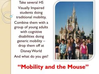
Mobility and the GIS Experience Brittany Berwanger Fayetteville State University
Table of Contents • Mobility and Geographic Information Systems Defined • How GIS and Mobility Relate • GIS Uses • GIS/Geography Awareness
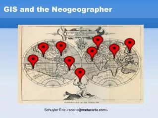
Mobility and GIS • Mobility • Capable of moving or of being moved readily from place to place • Geographic Information Systems • is a computerized data management system used to capture, store, manage, retrieve, analyze, and display spatial information.
How GIS and Mobility Relate • Mobility means that technology has become portable • This effects communication and the distribution of data • Mobility and the ability to collect and manage spatial data go hand in hand • Most technological devices and software include GPS/GIS and tracks location information which is beneficial to many agencies, companies, and individuals
GIS Uses • National Security/Intelligence • Drones, Field Operations, Situational Awareness, Emergency Response and Recovery • Detect Changes in Land • Crops, Increases and decreases in vegetation, wetlands, desertification • Planning • Urban planning, land use planning, transportation planning, zoning, surveying land
GIS Uses • Census Bureau • Migration flows, demographic data, regional data • Environmental Protection • Forest management, monitor use and disposal of hazardous materials, track efforts in renewable energy use • FEMA • Natural disasters, flood plain maps, national flood insurance
The point? • Life is dynamic • Information is constantly being updated and changed • The ability to transport information obtaining devices is important to data collection as a whole • There are may advancements in the collection of data because of the mobility of technological devices
GIS/Geography Awareness • Not many people know what can be done with GIS and Geography • Not many schools encourage Geography • People need to be more aware of possibilities