Download
1 / 7
70 likes | 87 Views
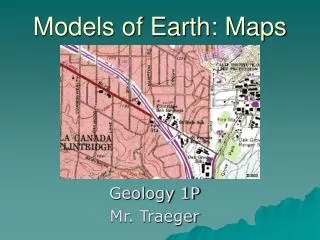
Models of Earth. EQ: How do maps and globes represent the Earth?. Maps and Globes. Map – model on a flat surface of all or part of Earth’s surface as seen from above Globe – a sphere that represent Earth’s entire surface

E N D
Models of Earth EQ: How do maps and globes represent the Earth? G 1-2
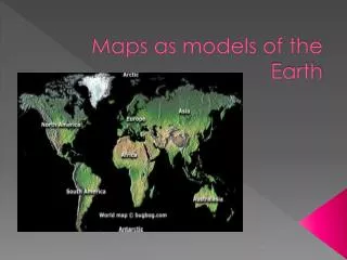
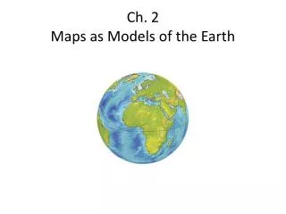
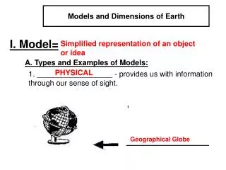
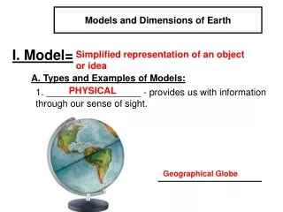
Maps and Globes • Map – model on a flat surface of all or part of Earth’s surface as seen from above • Globe – a sphere that represent Earth’s entire surface • Correctly shows the relative size and shape of landmasses and bodies of water • Both are drawn to scale and use symbols to represent topography and other features EQ: How do maps and globes represent the Earth? G 1-2
Parts of the Map Scale – relates distance on a map to a distance on the Earth’s surface. Often given as a ratio Symbols – pictures that represent features on Earth’s surface Key – legend, a list of symbols used on a map and what they represent Compass Rose – used for direction on a map. The top of a map is usually North EQ: How do maps and globes represent the Earth? G 1-2
Earth’s Reference System Equator – imaginary line that divides the Earth into Northern and Southern hemispheres Prime Meridian – imaginary line that makes a half circle from the North Pole and the South Pole. The PM passes through Greenwich, England. It divides the earth into the Western and Eastern hemispheres Degree – 1/360 of the way around a full circle EQ: How do maps and globes represent the Earth? G 1-2
Locating Points on the Earth’s Surface Latitude – distance in degrees north or south of the equator. The equator is 0 °. North pole is 90 °north, south pole is 90 ° south. Longitude – distance in degrees east or west of the prime meridian. Prime meridian measure 0°. Half way around the sphere is 180° east or west. EQ: How do maps and globes represent the Earth? G 1-2
Map Projections- A framework of lines that show land masses on a flat surface Mercator projection – lines of latitude and longitude all appear as straight, parallel lines that form a rectangle. Land masses are distorted Equal Area projection: correctly shows the relative sizes of Earth’s landmasses. Landmasses at the edges are distorted EQ: How do maps and globes represent the Earth? G 1-2
Class work and Homework EQ: How do maps and globes represent the Earth? Fill In What did I learn Confused Say Inquiry, “A Borderline Case”, page G25 Read pages G19 – G 24, questions 1- 4. Answer with complete sentences. G 1-2