Download
1 / 21
210 likes | 222 Views
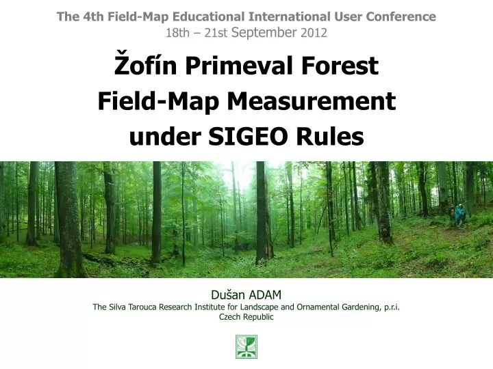
The 4th Field-Map Educational International User Conference 18th – 21st September 2012. Ž of í n Primeval Forest Field-Map Measurement u nder SIGEO Rules. Dušan ADAM The Silva Tarouca Research Institute for Landscape and Ornamental Gardening, p.r.i. Czech Republic.

E N D
The 4th Field-Map Educational International User Conference 18th – 21st September 2012 Žofín Primeval Forest Field-Map Measurement under SIGEO Rules Dušan ADAM The Silva Tarouca Research Institute for Landscape and Ornamental Gardening, p.r.i. Czech Republic
Žofín Primeval Forest Field-Map Measurement under SIGEO Rules Contents INTODUCTION • Using Field-Map • Žofín • SIGEO SIGEO MEASUREMENT 2012 • Žofín measurement 2008 – the ground • SIGEO measurement 2012 – the update • Field-Map in action – concept, methods, project, tags • Preliminary results …from field CONCLUSIONS …Field-Map
Žofín Primeval Forest Field-Map Measurement under SIGEO Rules INTRODUCTIONThe technology…The site…The project…
Žofín Primeval Forest Field-Map Measurement under SIGEO Rules Using Field-Map Where? In natural forest of the Czech Republic Main research goal? Observing life cycle of each stem (position, unique identifier) through repeated measurement Three Field-Map sets… …Hammerheads, manual calipers, no GPS, monopods, Li-Ion batt. Using Field-Map since 2001… …repeated measurement since 2005 Whole-area measurement: 24 sites, 360 ha (in CZ) Statistical inventory: 12sites, 750 ha (in CZ) More info: Czech natural forests website http://www.pralesy.cz
Žofín Primeval Forest Field-Map Measurement under SIGEO Rules Žofín Žofín Žofín primeval forest Area: 74.20 ha Height range: 730 – 837 m a.s.l. Spontaneous development: since 1838 Dominating species: beech, spruce, fir
Žofín Primeval Forest Field-Map Measurement under SIGEO Rules Žofín under whole-area measurements • 1975: Eduard Průša – the 1st whole-area measurement …theodolite -> analogue map 1 : 1000 • 1997: Tomáš Vrška and team – the 2nd whole-area measurement …editing the analogue map in field, digitizing results in office -> digital database (tree data model) • 2008: Tomáš Vrška and team – the 3rd whole-area measurement new survey using Field-Map and digital database (1996) -> accurate digital database (stem data model) • 2012: Tomáš Vrška and team – detailed measurement inside SIGEO section (25 ha) using Field-Map
Žofín Primeval Forest Field-Map Measurement under SIGEO Rules Žofín
Žofín Primeval Forest Field-Map Measurement under SIGEO Rules SIGEO Smithsonian Institute Global Earth Observatory http://www.sigeo.si.edu/ CTFS Center for Tropical Forest Science CTFS research on tropical forest dynamics continues, but joins new initiatives to study carbon fluxes, temperate forests, and the impacts of climate change on biodiversity and forest function.
Žofín Primeval Forest Field-Map Measurement under SIGEO Rules SIGEO MEASUREMENT 2012The ground…The update…The process…The results…
Žofín Primeval Forest Field-Map Measurement under SIGEO Rules What the Smithsonians need? 1. 25ha (square) section; 1ha (square division) 2. Live stems with D.B.H. of 1 cm and more - Position - Identification - Basic dendrometry attributes 3. Dead stems with D.B.H. of 10 cm and more - Adopt methodology of VÚKOZ 4. Repeat measurement after 10 (?) years
Žofín Primeval Forest Field-Map Measurement under SIGEO Rules 2008 measurement – the ground • Whole-area (74 ha) measurement of live and dead stems • Reference point network (364, 44.25 m) surveyed (current geodesy) • 4 months in field (pure dendrometry only) • 2 - 3 field teams / each by 3 persons • 24,111 stems (8,890 deadwoods) measured • Natural regeneration registered manually (on the ref. points network)
Žofín Primeval Forest Field-Map Measurement under SIGEO Rules 2012 – the update Phase 1: Check increment and vitality of thicker (>10cm)stems Phase 2: Survey thinner stems (1-10cm) with all dendrometry New features of measurement: • Extend D.B.H. range with interval of 1 – 10 cm • Increase precision of positions • Tripod • Decrease reflector height on mainpole (60 cm) • Decrease equipment height (kneeling) somet. • Vernier caliper(up to 15 cm) • Tagging
Žofín Primeval Forest Field-Map Measurement under SIGEO Rules Diameter measurement D.B.H. of 1 cm to 15 cm D.B.H. of 15 cm to 95 cm D.B.H. of above 95 cm
Žofín Primeval Forest Field-Map Measurement under SIGEO Rules Height measurement • Heights’ picking through current measurement • 10% of stems have height measured – base for fitted height curve construction • Using Field-Map On-Change script to keep periodic height measurement Script warns operator within each 10th surveyed stem… „Warning: Now it is neccessary to measure height!“
Žofín Primeval Forest Field-Map Measurement under SIGEO Rules Tagging Single-stem treealuminium tag„SubplotID-TreeID“ branded 41-1089 Multi-stem treealuminium tag(2nd, 3rd…) „StemID“ branded 2
Žofín Primeval Forest Field-Map Measurement under SIGEO Rules Tagging D.B.H. 15 cmalluminium nailhammered in a stem 1 D.B.H. 15 cm(covered) wirehung up on a branch
Žofín Primeval Forest Field-Map Measurement under SIGEO Rules Field-Map project CONCEPT: Each subplot represents one separate Field-Map project LAYERS: Standing stems 2008 [Point] Lying stems [Deadwood] Standing stems 2012 [Tree] Reference points [Point] Dividing lines [Line] ATTRIBUTES: SPECIES D.B.H. HEIGHT VITALITY SHAPE SIGEO TREE ID SIGEO STEM ID
Žofín Primeval Forest Field-Map Measurement under SIGEO Rules Preliminary results Measurement in process (as at 20.9. – 10/25 subplots) Preliminary per hectare numbers (when the first 6 subplots finished): - Number of standing stems (10 cm+): 216 - Number of standing stems (1 - 10 cm): 1790 - Number of lying deadwoods: 75
Žofín Primeval Forest Field-Map Measurement under SIGEO Rules Preliminary results Subplot 12 stems of D.B.H. above 10 cm displayed Subplot 12 stems of DBH above 1 cm displayed
Žofín Primeval Forest Field-Map Measurement under SIGEO Rules Conclusions • ACCURATE network of reference points – the necessary base for another steps • Respecting accuracy rules, Field-Map allows survey DENSE ARRAY of stems • Field-Map SCRIPTS improve measurement comfort and prevent errors (insert IDs’ redundancy) • Within Field-Map acquired GIS data of stems REMAINS while thin stems fall and tags&wires rust
Žofín Primeval Forest Field-Map Measurement under SIGEO Rules Thank you for your attention! This contribution has been resulted thanks to project AMVIS - KONTAKT II - LH12038 „Mixed temperate forests dynamics – integration and objectification of conceptual models“