Download
1 / 23
230 likes | 391 Views
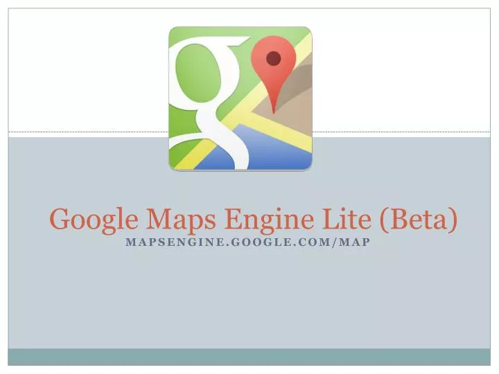
Google Maps Engine Lite (Beta). mapsengine.google.com/map. Login to Google and Create!. mapsengine.google.com. Start with a blank map. Click to edit. Type city, state. Zoom to street level. Import data.

E N D
Google Maps Engine Lite (Beta) mapsengine.google.com/map
Login to Google and Create! mapsengine.google.com
Start with a blank map Click to edit
Import data You can visualize and understand multiple data points together on a map by importing spreadsheets. You can import any geo-located data set that you’d like to see on the map. Click Import. You can import CSV, TSV, or XLSX files, My Maps, or spreadsheets from Google Drive
Import Data You can upload up to 100 points per layer (50 columns maximum) following the steps below: If your map has more than one layer, make sure the correct one is selected in the left panel. The selected layer will be blue on the left edge. You can only import into layers that are empty.
Import data into your map • Create an Excel or csv (comma separates value) chart • You can create this in Google Docs • Be sure to include a geo-located data set • City, State • Full address City, State • Make sure to include Title and Information.
Here is a Sample Data Set Address formatting is very important and must follow City , State
Click Import Click to import
Click Add layer Click here Click to change or import second layer
Draw a box, add lines Click to draw Click dot at center of line to add a new point and stretch line. Keep moving ends and click center dots to stretch into a shape.
Google Maps Engine Lite (Beta) https://mapsengine.google.com Google Help Tutorial http://tinyurl.com/k6g2sma