Download
1 / 28
280 likes | 287 Views
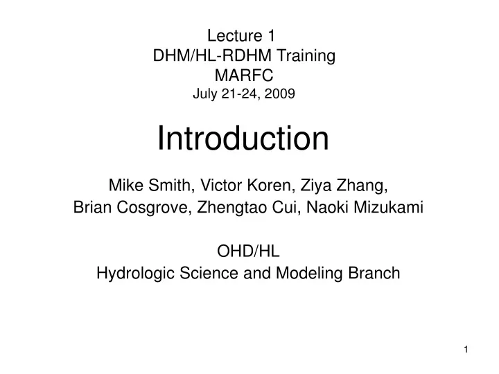
Lecture 1 DHM/HL-RDHM Training MARFC July 21-24, 2009. Introduction. Mike Smith, Victor Koren, Ziya Zhang, Brian Cosgrove, Zhengtao Cui, Naoki Mizukami OHD/HL Hydrologic Science and Modeling Branch. Overview. Expectations Strategy for use Results of DMIP 2

E N D
Lecture 1 DHM/HL-RDHM Training MARFC July 21-24, 2009 Introduction Mike Smith, Victor Koren, Ziya Zhang, Brian Cosgrove, Zhengtao Cui, Naoki Mizukami OHD/HL Hydrologic Science and Modeling Branch
Overview • Expectations • Strategy for use • Results of DMIP 2 • Overview of HL-RDHM capabilities
Goals and Expectations • Potential • History • Lumped modeling took years to enter operations and is a good example of implementation time • We’re second to do operational forecasting with dist. models • Expectations • ‘As good or better than lumped’ • Limited, but growing experience with calibration • May not yet show (statistical) improvement in all cases due to errors and insufficient spatial variability of precipitation and basin features… but is proper future direction! • New capabilities • Gridded water balance values and variables e.g., soil moisture • Flash flood predictions, e.g., DHM-TF • Frozen ground • New evapotranspiration component to SAC-SMA
Strategy: Use • Use with, not instead of, lumped model at same time step • Part of natural progression to finer scales Lumped 6-hr Lumped 1-hour Distributed 1-hour • Calibration is good training process for forecasting • Current: • DHM: AWIPS operation for headwaters, locals • HL-RDHM: Large area, soil moisture, SNOW-17, GFFG, DHM-TF, etc • Feedback to OHD
Distributed Model Intercomparison Project (DMIP) Nevada Missouri Kansas American River Elk River Carson River Illinois River Oklahoma Arkansas California Blue River Texas Phase 2 Scope • Tests with Complex Hydrology • Snow, Rain/snow events • Soil Moisture • Lumped vs. Distributed • Additional Tests in DMIP 1 Basins • Routing • Soil Moisture • Lumped vs. Distributed • Prediction mode
VUB ARS AZ1 AZ2 CEM DH1 DH2 EMC ILL LMP NEB OHD UAE UOK WHU ICL UAE UCI Median uncalb Median Calb Results of DMIP 2: Oklahoma Basins Overall Results: Rmod, calibrated models, all periods
North Fork American River
East Fork Carson River OHD Calibrated and Uncalibrated Simulations of SWE Calibrated and Uncalibrated Dist. Model Simulations of SWE Ebbets Pass Blake Poison Flats Observed Sprat Creek Calibrated Uncalibrated
North Fork American River Modified R vs %Bias Calb. and Ver. Periods Calibrated Models North fork, calibrated, 1987-2002 Results of Sierra Nevada Experiments
DHM/HL-RDHM Workshop Overview of Capabilities • DHM and HL-RDHM Overview • HL-RDHM and CHPS/FEWS • Capabilities • SAC-SMA, SAC-HT, SAC-HT with new ET (in progress) • Snow-17 • DHM-TF • Hillslope and channel routing • Manual and auto calibration
HL-RDHM AWIPS DHM (Available on AWIPS LAD) P & ET P, T, & ET DHM-TF Auto Calb & ICP SNOW -17 rain rain + melt SAC-SMA SAC-SMA, SAC-HT surface runoff surface runoff base flow base flow Hillslope routing Hillslope routing Channel routing Channel routing Mods Flows and state variables Flows and state variables Calibration/Forecasting Forecasting
Distributed Modeling and CHPS/FEWS • CHPS BOC 1 will not have distributed modeling • OHD will migrate HL-RDHM components to CHPS/FEWS • Official OHD distributed model in CHPS/FEWS to come later
1. Sacramento Soil Moisture Accounting Model Source: U. Arizona
UZFWC UZFWC UZTWC UZTWC LZFPC LZFPC LZFSC LZFSC LZTWC LZTWC • Modified Sacramento Soil Moisture • Accounting Model (Victor Koren) • In each grid and in each time step, transform • conceptual soil water content to physically-based water content SAC-HT Physically-based Soil Layers and Soil Moisture Sacramento Model Storages Sacramento Model Storages SMC1 SMC2 SMC3 SMC4 SMC5 Soil moisture products Soil temperature products
1. SAC-HT Background • Originally developed for the Noah Land Surface Model • Designed as replacement of the existing conceptual SAC-SMA frozen ground option. • Does not need calibration • Generates soil moisture and temperature versus depth • Can be used with local soil properties to adjust soil moisture to local conditions.
Observed (white) and simulated (red) soil temperature and moisture at 20cm, 40cm, and 80cm depths. Valdai, Russia, 1971-1978. Soil Temperature Soil Moisture
2. SAC-HT Validation of SAC-HT Observed Frozen ground Non frozen ground Comparison of observed, non-frozen ground, and frozen ground simulations: Root River, MN
2. SAC-HT NOAA Water Resources Program:Prototype Products HL-RDHM soil moisture for April 5th 2002 at 12Z Soil moisture (m3/m3)
Distributed Modeling for New Products and Services Local Soil Texture Soil moisture for top 10 cm layer April 06, 2002 00z 4km Gridded Soil Moisture “Long-term soil moisture forecasts, when used to manage livestock and forage production, can increase ranch profits by as much as 40% ($1.05/acre)” Local Soil Moisture Time
SAC-SMA Parameters Objective estimation procedure:produce spatially consistent and physically realistic parameter values 1.Based on STATSGO + constant CN • Assumed “pasture or range land use” under “fair” hydrologic conditions • National coverage • Available now via CAP 2. Based on STATSGO + variable CN • National coverage • Updated for dry area effects (Victor) • New ZPERC values 3. Based on SSURGO + variable CN • Parameters for CONUS • Updated for dry area effects (Victor)
Soils Data for SAC Parameters Demonstration of scale difference between polygons in STATSGO and SSURGO SSURGO STATSGO
… HL-RDHM and Distributed Snow-17 2. Distributed SNOW-17 Model • SNOW-17 model is run at each pixel (hourly ok) • Gridded precipitation from multiple sensor products are provided at each pixel • Gridded temperature inputs are adjusted by using DEM and regional temperature lapse rate • The areal depletion curve is modified depending on the topography of the basins. • Other parameters are either replaced by physical properties or related to physical properties • Melt factors can be related to topographic properties: slope & aspect
2. Distributed modeling and snow Parameterization of Distributed Snow-17 Min Melt Factor • Derived from: • Aspect • Forest Type • Forest Cover, % • Anderson’s rec’s. Max Melt Factor
3. Routing Model Real HRAP Cell Hillslope model Cell-to-cell channel routing
HRAP Cell-to-cell Connectivity Examples ABRFC ~33,000 cells • OHD delivers baseline HRAP resolution connectivity, channel slope, and hillslope slope grids for each CONUS RFC • HRAP cell-to-cell connectivity and slope grids are derived from higher resolution DEM data. MARFC ~14,000 cells
3. Channel Routing Model • Uses implicit finite difference solution technique • Solution requires a unique, single-valued relationship between cross-sectional area (A) and flow (Q) in each grid cell (Q=q0Aqm) • Distributed values for the parameters q0 and qm in this relationship are derived by using • USGS flow measurement data at selected points • Connectivity/slope data • Geomorphologic relationships • USGS recently removed its measurements from the web pages; must specifically request them.