Download
1 / 23
230 likes | 236 Views
This preliminary report by the NOAA Science Advisory Board's Hurricane Intensity Research Working Group evaluates the current state-of-science and R&D activities related to hurricane intensity forecasting. The report presents preliminary findings and six recommendations for improving the understanding and timely transfer of knowledge on hurricane intensity.

E N D
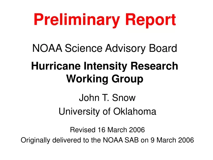
Preliminary ReportNOAA Science Advisory BoardHurricane Intensity Research Working Group John T. Snow University of Oklahoma Revised 16 March 2006 Originally delivered to the NOAA SAB on 9 March 2006
Outline • Motivation • Charge • Working Group Membership • Process • Hurricane Intensity • Preliminary Findings • Six Preliminary Recommendations • Summary
Motivation • Continual improvement over the last two decades in forecasting of hurricane track • Simultaneously, little improvement in forecasting of intensity – why? • Recent “surprises”: rapid changes in hurricane intensity, especially just before landfall • Charley – 2004 – rapid strengthening just before landfall • Katrina – 2005 – rapid weakening just before landfall • Wilma – 2005 – rapid strengthening to record central low pressure
Charge • Independently assess current “state-of-science” and R&D activities in NOAA and elsewhere with respect to hurricane intensity, and then • Recommend an agenda of R&D activities that will lead to an improved understanding of the processes determining hurricane intensity and the timely transfer of that understanding to operations.
Dr. John SnowUniversity of Oklahoma Dr. Howard BaumNational Institute of Standards and Technology Dr. Shu-Hua Chen University of California, Davis Dr. Russell L. Elsberry Naval Postgraduate School Dr. Francis Edward FendellNorthrop Grumman Space Technology Dr. Greg HollandNational Center for Atmospheric Research Dr. Tiruvalam N. Krishnamurti Florida State University Dr. Michael T. MontgomeryColorado State University Dr. Richard RotunnoNational Center for Atmospheric Research Dr. Peter WebsterGeorgia Institute of Technology Working Group Membership
Process • Meetings • Washington, D.C. • Miami, FL • Boulder, CO • Teleconferences • ftp site • Preliminary Report • Feedback, and additional teleconferences and meetings • Coordination with NSB study • Final Report
Hurricane Intensity • NHC: Intensity = peak sustained surface winds anywhere in the storm • Occurs through a set of poorly understood, complex processes involving both external environmental influences and internal vortex dynamics, e.g., • Environmental influences, atmosphere and ocean • Internal variability (e.g., eyewall replacement cycle) • Rapid intensification and weakening • Wide range of time and space scales involved
Preliminary Findings 1: Key National Hurricane Center Guidance Needs • Formation phase to become named tropical storm • Timing and magnitude of rapid intensification • Decay and re-intensification cycles • Timing and magnitude of rapid decay
Preliminary Findings 2: Current Situation • Significant number of activities – observational, R&D, tech transfer, operational -- underway inside (and outside) of NOAA, but no single point of leadership • Interconnections, coordination, collaboration between activities range from poor to good • Given complexity of problem to be addressed, “critical mass” is lacking – limited human resources, financial wherewithal, no national focus progress relatively slow • Numerous bright spots on which to build, leverage
Six Preliminary Recommendations • Attaining Critical Mass • Observations of Hurricane Structure • Data Assimilation • High Resolution, Coupled Air-Sea-Land Mesoscale Modeling and Analysis • Operations Research and Socio-Economic Impacts • Accelerating Transfer from Research to Operations Point: Recommendations interdependent
Monitoring Products Observations Of Hurricane Structure R&D Observing Systems Simulation Experiments Data Assimilation Hi-Res, Coupled Mesoscale Modeling Prediction Products
2. Observations of Hurricane Structure Numerous observing systems provide data on hurricanes (satellites – critical for monitoring, aircraft, buoys, radar) and promising new technology is in-hand (SFMR) or on horizon (UAS, radar on G-4) • Near-term: Airborne and surface-based radars offer best opportunity to observe mesoscale fields in core region real time assimilation into models • Near-term: “Low and Slow” Unmanned Aircraft Systems (UAS) demonstrations to assess ability to provide low altitude in situ observations, complementing manned aircraft observations • Medium-term: Observing System Simulation Experiments (OSSEs) needed to determine optimal configurations of observing systems for improved forecasts
3. Data Assimilation (DA) Crucial to obtaining value from nontraditional observations (radar, satellite, dropsonde, etc…) to initialize, update models • Near-term: Explore developing first-guess fields using mesoscale model output as well as global model output • Near-term: 3DVAR DA • Medium-term: 4DDA
4. High Resolution, Coupled Air-Sea-Land Mesoscale Modeling and Analysis Many indications that models must have resolution approaching 1 km to capture phenomena in the core region important to accurate prediction of intensity; coupling between ocean surface and atmosphere is also critical • Near-term: Exploit recent field experiments (e.g., CBLAST, RAINEX) for improving models • Medium-term: Additional field experiments to validate high-resolution coupled models • Medium-term: NOAA acquire capability to produce 1 km resolution forecasts
Added nest (1.33 km) Real-time WRF (4 km) Provided by G. Holland, NCAR
Analyses Obs OSSE DA Hi-Res, Cpld Mesoscale Modeling Forecasts Summary • Attaining Critical Mass co-locate leadership, resources, organization in Miami to achieve goal • Research and Development • Operations Research and Socio-Economic Impacts optimize utilization of enhanced intensity forecasts • Accelerating Transfer from Research to Operations expedite implementation of research results to operations through programs such as JHT and DTC