Download
1 / 50
600 likes | 1.05k Views
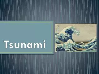
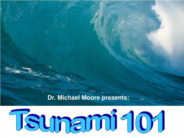
Dr. Michael Moore presents:. Tsunami 101. What is a tsunami?. A tsunami (pronounced tsoo-nah-mee ) is a series of waves caused by a sudden huge vertical displacement of water.

E N D
Dr. Michael Moore presents: Tsunami 101
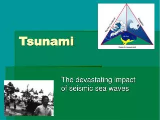
What is a tsunami? • A tsunami (pronounced tsoo-nah-mee) is a series of waves caused by a sudden huge vertical displacement of water. • Earthquakes, landslides, volcanic eruptions, explosions, and even the impact of cosmic bodies, such as meteorites, can generate tsunamis. • Tsunamis can savagely attack coastlines, causing devastating property damage and loss of life.
Origin of the word – “tsunami” • Tsunami is a Japanese word with the English translation, "harbor wave." • Represented by two characters, the top character, "tsu," means harbor, while the bottom character, "nami," means "wave."
Origin Time and Epicenter Sunday, 26 Dec 2004, at 00:58:50 UTC The epicenter was at 3.298°N, 95.779°E Its focal depth was shallow (about 33 km http://www.drgeorgepc.com/Tsunami2004Indonesia.html
Countries Affected by the 2004 Indian Earthquake/Tsumani Southeast Asia and beyond • Indonesia, Sri Lanka, India, Thailand, the Maldives, Somalia, Myanmar, Malaysia • Many other countries, especially Australia and those in Europe, had large numbers of citizens traveling in the region on holiday.
Types of earthquake faults http://www.iris.edu/gifs/animations/faults.htm
For millions of years the India tectonic plate has drifted and moved in a north/northeast direction, colliding with the Eurasian tectonic plate and forming the Himalayan mountains. As a result of such migration and collision with both the Eurasian and the Australian tectonic plates, the Indian plate's eastern boundary is a diffuse zone of seismicity and deformation, characterized by extensive faulting and numerous earthquakes. http://www.drgeorgepc.com/Tsunami2004Indonesia.html
Current Earthquakes as of 1/27/05 TodayYesterdayPast 2 weeksPast 5 years http://www.iris.edu/seismon/
24-Hour Seismic Data PlotInuvik, NWT in Western Canada http://www.pgc.nrcan.gc.ca/cgi-bin/browse_daily_plots
A Snapshot of the Dec 26, 2004 Indian Ocean earthquake • The earthquake (magnitude of 9.0) generated a tsunami that was among the deadliest disasters in modern history. • Estimated energy equal to 23,000 atomic bombs!!! (according to U.S. Geological Survey (USGS) • In 1964, there was a Good Friday Earthquake off Alaska. (9.2 magnitude) • Tied for fourth largest earthquake since 1900.
Current Earthquakes as of 1/27/05 TodayYesterdayPast 2 weeksPast 5 years http://www.iris.edu/seismon/
Waves vs Tsunami Tidal Waves = 12 hours between waves, caused by gravity from the moon and the sun Wind waves10 seconds between wavesWavelength = 150 meterswaves move in circular motion Tsunami1 hour between wavesmoves 500-1000 km per hour then suddenly slows down to 10 km/hr with a moving wall of water 10 to 30 meters high near land! http://www.ess.washington.edu/tsunami/images/tsulg.jpg
Changes in tsunami wave shape as it approaches land. http://www.ew.govt.nz/enviroinfo/hazards/naturalhazards/coastal/tsunami.htm
Tsumani Waves http://www.prh.noaa.gov/itic/library/pubs/great_waves/tsunami_great_waves_4.html
an Animation of a Tsunami http://esminfo.prenhall.com/science/geoanimations/animations/86_Tsunami.html
TSUNAMI of December 26, 2004TSUNAMI of November 28, 2004TSUNAMI of November 21, 2004TSUNAMI of November 11, 2004TSUNAMI of September 5, 2004TSUNAMI of September 5, 2004TSUNAMI of November 17, 2003TSUNAMI of September 25, 2003TSUNAMI of January 22, 2003TSUNAMI of January 20, 2003TSUNAMI of October 10, 2002TSUNAMI of September 13, 2002TSUNAMI of September 8, 2002 TSUNAMI of January 2, 2002TSUNAMI of June 23, 2001TSUNAMI of November 26, 1999TSUNAMI of July 17, 1998TSUNAMI of May 3, 1998TSUNAMI of December 5, 1997TSUNAMI of April 21, 1997TSUNAMI of December 2, 1996TSUNAMI of November 12, 1996TSUNAMI of September 5, 1996TSUNAMI of September 4, 1996TSUNAMIS of June 10, 1996 Most Recent TSUNAMIS
2004 Sumatra Earthquake/Tsunami http://staff.aist.go.jp/kenji.satake/animation.gif
First wave of tsunami hitting the Maldives http://en.wikipedia.org/wiki/Image:Wave.jpg
Amateur Asian Tsunami Video Footage http://www.asiantsunamivideos.com/
2004 Indonesia Tsunami Complete.gif http://en.wikipedia.org/wiki/Image:2004_Indonesia_Tsunami_Complete.gif
Amateur Videos of the Tsunami http://www.asiantsunamivideos.com/ ttp://www.waxy.org/archive/2004/12/28/amateur_.shtml
BCC News – Animation of a tsunami • http://news.bbc.co.uk/1/hi/in_depth/4136289.stm • PBS Animations • http://www.pbs.org/wnet/savageearth/animations/tsunami/main.html
Propagation of Tsunami Waves • Island of Sumatra 15 minutes 15 meter high waves • Sri Lanka/India 1 1/2 hours 15 meter high waves • Thailand 2 hours 15 meter high waves • Somalia 7 hours ? • South Africa 16 hours 1.5 meter high waves • Mexico >16 hours 2.6 meter high waves • South America >16 hours 0.2 - 0.4 meter waves
“Before” photo of Gleebruk Villagehttp://homepage.mac.com/demark/tsunami/13.html
“After” photo of Gleebruk Villagehttp://homepage.mac.com/demark/tsunami/13.html
“Before” photo of Banda Aceh, Indonesiahttp://serc.carleton.edu/images/NAGTWorkshops/visualization/collections/bandaaceh.jpg
“After” photo of Banda Aceh, Indonesiahttp://serc.carleton.edu/images/NAGTWorkshops/visualization/collections/bandaaceh.jpg
“Before” photo of Meulaboh, Indonesiahttp://homepage.mac.com/demark/tsunami/20.html
“After” photo of Meulaboh, Indonesiahttp://homepage.mac.com/demark/tsunami/20.html
Vegetation stripped away from mountain side at Lhoknga.http://cwis.usc.edu/dept/tsunamis/2005/tsunamis/041226_indianOcean/sumatra/sumatra.html
More Amateur movies of the tsumani http://www.westhamptonbeach.k12.ny.us/teachers/cohen/sciweb/earthscience/tsunami.htm
Pacific Tsunami Warning Centers http://www.prh.noaa.gov/itic/library/pubs/great_waves/tsunami_great_waves_8.html
www.noaanews.noaa.gov/stories/s560.htmtsunami-buoy-deploy2.jpg
Hope you learned something about TSUNAMIS!