Download
1 / 17
190 likes | 221 Views
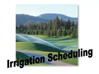
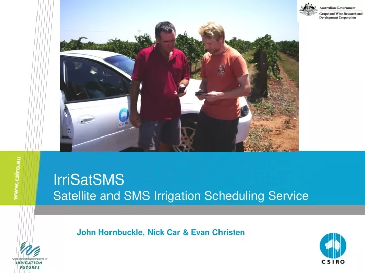
IrriSatSMS Satellite and SMS Irrigation Scheduling Service. John Hornbuckle, Nick Car & Evan Christen. IrriSatSMS - Satellite and SMS Irrigation Scheduling Service. Aims to overcome the costs and complexities of irrigation scheduling

E N D
IrriSatSMS Satellite and SMS Irrigation Scheduling Service John Hornbuckle, Nick Car & Evan Christen
IrriSatSMS - Satellite and SMS Irrigation Scheduling Service • Aims to overcome the costs and complexities of irrigation scheduling • Capturing the bulk of the ‘market’ and providing them with a tool for assisting these decisions can deliver real water savings • The system provides irrigation scheduling information specific for a farm at an extremely low cost, directly to their mobile phone, taking into account the latest weather conditions and their crop needs ensuring decisions on irrigation are made with the best available information
How does IrriSatSMS schedule ? • Using the FAO 56 approach Reference water use – weather station ETc = ETo x Kc Crop Coefficient – relates your crop to the reference crop Actual water use of crop
Gaining individual crop coefficients • Multi-spectral (Spot,Landsat, Iknonos) satellites cover MIA approx. every 7-14 days • Images of everyone's individual crop • Can this information can be used for gaining the crop coefficient
Determining Kc from NDVI - grapevines Kc = 2.26 x NDVI – 0.4352
How does the IrriSatSMS schedule ? • Using the FAO 56 approach ETc = ETo x Kc Actual water use of crop .. But still in a format that’s not much use!
Making the scheduling information useful Irrigation Rainfall
Overview of IrriSatSMS Determination of a crop coefficient (Kc) from satellite image Satellite images used to determine plant performance of an irrigators crop Satellite Measurements Representing Individual Paddocks Incorporates management/soil/water/salinity constraints ETo from Weather Station or SILO On Ground ETc = ETo X Kc Potential Evaporation based on Atmospheric Demand Crop water use determined and irrigation requirement Daily irrigation scheduling information delivered to irrigators through SMS
Try a Demonstration Now! SMS demo run timesto 0416 905 013 and you’ll receive a demonstration SMS reply for grapevines in Griffith, NSW
Understanding and irrigating for spatial variability – making use of RS data
Future efforts/issues • RS for assessing crop/plant stress i.e. LWP from RS – implementing RDI, SDI irrigation strategies for monitoring water stress for improved quality – a simple thermal type approach • Soil moisture – deeper and with greater resolution • Linking RS data with irrigation management models • Large group of irrigators which we have real time water use and soil moisture monitoring (60+) senteks/cprobes • Heavily instrumented field sites EB, SM, EM, ET, T, etc • Very interested in being a part of any future campaign Future Campaigns
Contact Us Phone: 1300 363 400 or +61 3 9545 2176 Email: enquiries@csiro.au Web: www.csiro.au Thank you