Download
1 / 8
80 likes | 87 Views
Topography Topographic Maps. The natural and man-made surface features of the land Show the topography of an area. Section 3.3 Topographic Maps. Contour Lines. Narrow lines (brown) that indicate the elevation above sea level. Contour interval.

E N D
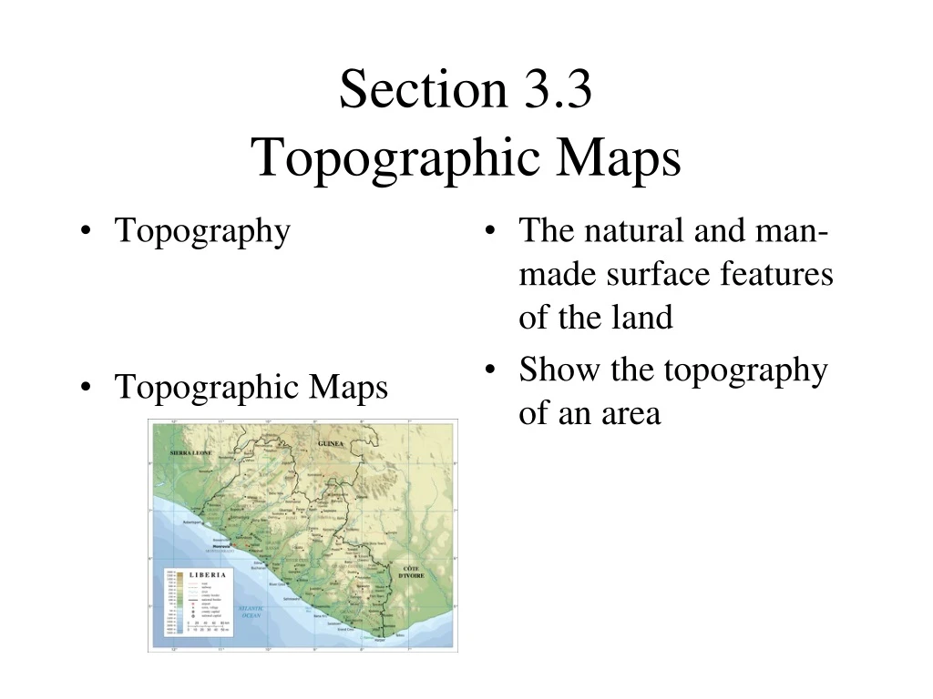
Topography Topographic Maps The natural and man-made surface features of the land Show the topography of an area Section 3.3Topographic Maps
Contour Lines Narrow lines (brown) that indicate the elevation above sea level
Contour interval The change in elevation between two consecutive contour lines
Slope The steepness of the landscape
Gentle sloping hill Steep hill Contour lines are farther apart Contour lines are closer together
Depression contour lines Show craters or volcanoes
Rivers The contour lines curve and point toward the source or the starting point of the river