Download
1 / 46
460 likes | 572 Views
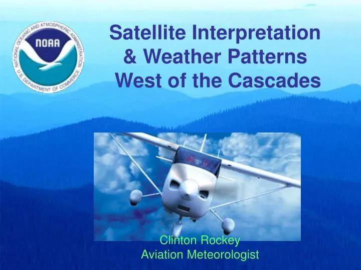
Satellite Interpretation & Weather Patterns West of the Cascades. Clinton Rockey Aviation Meteorologist. Types of Satellite Images. Visible. Infrared. Water Vapor. Fog. Visible Images. Can see land features. Can see cloud details.

E N D
Satellite Interpretation & Weather Patterns West of the Cascades Clinton Rockey Aviation Meteorologist
Types of Satellite Images Visible Infrared Water Vapor Fog
Visible Images Can see land features Can see cloud details When Sun is up, clouds reflect the sunlight. So, clouds are visible. But, when sun goes down, what do we do?
Details Of Visible Images Typical SummerAfternoon
What Do You See? Typical SummerAfternoon
Visible Image Summary PROs: Shows topographic features Shows best detail of cloud features Can infer low to mid-level wind flow CONs: Not available at night See tops of the clouds only (can not tell if precipitation occurring) May be difficult to see clouds over snow covered terrain or layers of clouds.
L Cold Front, with Rain Cold Clear Air Warmer the clouds, darker the shading. Colder clouds tops are white, and may be enhanced with color
Strong Low Developing
L L L L H Pineapple Express
L L L H 22 FEB 2007, 1 pm PST
L L L H 22 FEB 2007, 1 pm PST
L L L L 23 FEB 2007, ~noon PST H
IR Image Summary PROs: Shows cold and warm advection Good for determining areas of increasing or decreasing precipitation Good for showing developing or weakening storms CONs: Best for night time use, but day is good Really cold air can often be mistaken for precipitation areas
Water Vapor Image L Developing low, Along a front (rising moist air) Dry, sinking air Moisture shows as gray/green areas. Dry air indicated by dark areas.
L L L L H 22 FEB 2007, 1 pm PST
L L L 23 FEB 2007, noon PST
Water Vapor Image Summary Shows moisture/dry air advection (dry areas are candidates for fog and low level inversions) PROs: Good for detecting disturbances in the upper flow that may enhance/weaken low level inversions. Good for showing developing or weakening storms and fronts Hard to determine areas of precipitation as same are could just be clouds CONs:
Basic Weather PatternsWest of the Cascades Radiation fog Marine pushes with stratus Puget Sound Convergence Zone Thunderstorms and Virga
Radiation Fog Key Ingredients: Calm or Light Winds Rapid Cooling Clear/Mostly Clear Skies And, we need a low level moisture source
Radiation Fog Formation Heat is transferred away from ground. This cools the air just above the ground. As temperatures cools, it will approach the dew point Temperature (Humidity goes up) As the air condenses into fog, the cooling continues as the cool air pool gets deeper.
Radiation Fog Dissipation
What Fog Looks Like Remember, Fog Hugs the Terrain, Sitting in valleys
What Fog/Stratus Looks Like Remember, Fog Hugs the Terrain, Sitting in valleys
Marine Surges/Push May through early October Ceilings: IFR initially, then transition to MVFR and eventually VFR Visibility: IFR on coast initially, then transition to VFR. Mostly VFR inland, but may have brief MVFR.
H Northwesterly Marine Push Evening H L Triggered by weak front or upper level disturbance arriving from Pacific Characteristics… Surface Winds are North to Northwesterly Shallow moisture layer on the Coast L IFR on Coast, with Low MVFR inland Marine Layer about 1000 feet deep
H Northwesterly Marine Push Latter Morning H Maintained by Surface High Pressure centered offshore L Characteristics… Surface Winds are West to Northwesterly Gradually deepening moisture layer IFR/MVFR on Coast, with MVFR inland Marine Layer about 2000 feet deep
H Deeper Northwest Marine Push Morning H Maintained by Surface High Pressure centered offshore Characteristics… Surface Winds are West to Northwesterly L Gradually deepening moisture layer MVFR on Coast, with MVFR/VFR inland Marine Layer 3000-4000 feet deep Broken to Solid Stratocumulus over Cascades. Drizzle in mornings.
H Northwesterly Marine Push Late Afternoon H Maintained by Surface High Pressure centered offshore L Characteristics… Surface Winds are Northwesterly Moisture layer shallowing. Marine Layer 3000-4000 feet deep Any clouds left will be VFR Clouds Dissipating. May see a few Evening cumulus over the Cascades.
Puget Sound Convergence Zone… VFR VFR MVFR MVFR IFR
Puget Sound Convergence Zone… • Needs strong onshore flow • Often provides sufficient lift… • to cause TS when conditions would otherwise be unfavorable. • Frequently gives IFR weather.
Convection • Air in the free atmosphere will continue rising… • until it reaches a level where it is no longer buoyant. • The more unstable the atmosphere… • the greater the convection.
Changing the Stability Three ways to increase/decrease stability: Upper Level Cooling Low Level Warming Increase in Atmospheric Moisture
22 FEB 2007, 1 PM PST Cool, Unstable Air over Western WA/OR Much Colder Air Aloft Offshore
Convective Turbulence • Avoid convective turbulence by flying above cloud tops… When possible. Smooth Ride Bumpy Ride
Observations of Cumulus Clouds… If cumulus tops are ‘ragged’ and ‘ill-defined’ …the cloud will not continue to grow.
Virga…where is it? Virga is a downdraft action Rain is evaporating but cool dense air is sinking to the ground. New Updrafts Is it safe to fly under this?
Virga…where is it? No updrafts. Cloud is in downdraft phase. Rain is evaporating but cool dense air is sinking to the ground. Is it safe to fly under this?
Observations of Cumulus Clouds… If the cumulus tops are ‘crisp’ and ‘well defined’ DANGER:Fly too close and You may experience… …the cloud will continue to grow.
What do you see? D A C B E