Download
1 / 10
100 likes | 216 Views
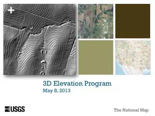
3D Elevation Program (3DEP). S heri Schneider, USGS Geospatial Liaison February 18, 2014. 3D Elevation Program (3DEP).

E N D
3D Elevation Program (3DEP) Sheri Schneider, USGS Geospatial Liaison February 18, 2014
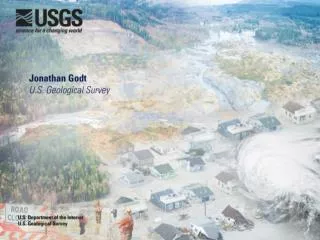
3D Elevation Program (3DEP) A national USGS initiative to improve the elevation data and to support other mission critical needs for lidar data in the conterminous US, Hawaii and territories and for ifsar data in Alaska Courtesy of NRCS • 2 points per sq. meter. Complete one cycle of data collection in 8 years • Classified point cloud data and 1 meter DEMs • Partnership model funded primarily by Federal agencies and states. • Operational in January 2015 with full data coverage by 2022
Products • Criteria • Data Acquisition Contracts • Specifications • State Roles and Responsibilities DRAFT Comment Period Extended to Friday 2/12/2014
Draft 3DEP Standard Products Standard Oregon Products not included - highest hits, intensity image, ground only points. Bare Earth DEM is hydroflattened.
Draft Criteria • Highest net benefits identified in the NEEA requirements study • Federal, state or regional partner elevation data acquisition plan • No existing lidar • Existing lidardoes not meet 3DEP requirements • Existing lidar older than 8 years old • Significant topographic change • Serious and significant hazards (earthquakes, landslides, etc.) • 1500 – 5000 sq. mi in size, increasing emphasis on larger projects
Draft Data Acquisition Contracts • USGS will manage the process to accept partnership proposals • Partners will propose an acquisition approach that best meets their needs, either: • USGS Geospatial Products and Services Contract (GPSC) • Seven prime contractors with multiple subcontractors • Will re-compete in 2014 • State’s own authorities and contracts to acquire data that meet the 3DEP specification.
Draft Deliverables/Specifications • Raw Point Cloud • Classified Point Cloud • Hydro-flattened Bare Earth DEMs, 1 meter grid cell • Breaklines– when used for hydro-flattening • Metadata • RMSEzfrom ≤ 9.25 centimeters • 2 pts/sq. meter, optional buy up to 8 pts/sq. meter • Nominal pulse spacing (NPS) 0.7 meters
Draft State Roles and Responsibilities • Coordinate and facilitate local and regional partnerships • Advocate and support the goal of achieving nationwide coverage. • Participate in partnership data acquisition projects • Adopt national specifications and standards • Make resulting data available to the national program • May collect data to a higher quality specification • Develop a statewide program strategy and seek funding to participate in partnership activities
Estimated Cost • Rough estimate - $32 million for Oregon statewide $20 million to buy up to 8 pts/sq. mtr Table F-1, NEEA Report • Estimated Cost based on acquisition by 1 Degree Cells, NEEA Report • 1 Degree Cell size ranges from 3000 – 4000 sq. mi. • Estimated Cost/ 1 degree cell - $1 million – $1.3 million