Download
1 / 15
160 likes | 173 Views
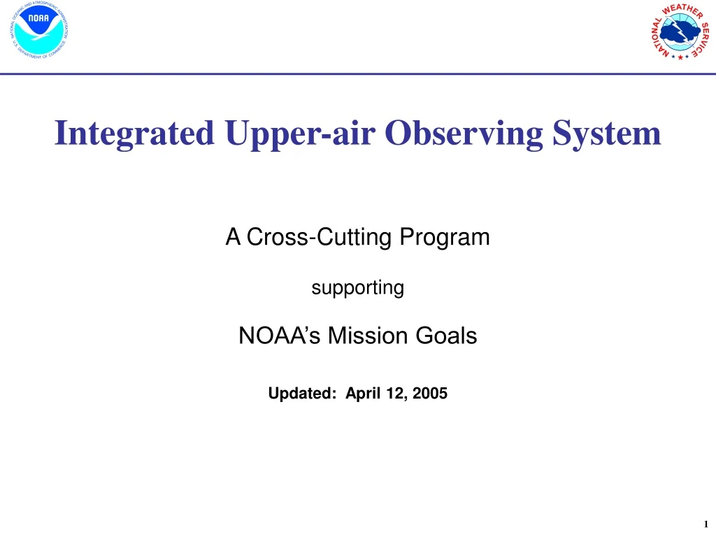
Integrated Upper-air Observing System. A Cross-Cutting Program supporting NOAA’s Mission Goals Updated: April 12, 2005. NOAA’s Integrated Upper-Air Observing System (IUOS). Background Missions Supported Current Capacity Gaps Analysis of Solution Space Investment Strategy End State.

E N D
Integrated Upper-air Observing System A Cross-Cutting Program supporting NOAA’s Mission Goals Updated: April 12, 2005
NOAA’sIntegrated Upper-Air Observing System (IUOS) • Background • Missions Supported • Current Capacity • Gaps • Analysis of Solution Space • Investment Strategy • End State Hydrologic Cycle
BackgroundVision for NOAA Integrated Observations “Observations when and where needed” Achieve break-through performance in information content effectively and efficiently resolving global, regional, and local scalephenomena vital to improving prediction of High Impact Weather Events, Changes in Weather Patterns, and Climate Change.
BackgroundNOAA’s Integrated Observing System (IOS) • Need for improved and cost-effective observations of Earth system is motivating plans for IOS • Key Drivers: NOSC, GEO, IWGEO,GCOS, WMO CBS ET/WWW, EUMETNET/EUCOS • IOS Concept: • Integrate multi-purpose observing systems and networks within extensible enterprise architectures to meet cross-functional observational requirements cost-effectively • Effective management is key success criteria: • Avoid unnecessary duplication -- Integrate stakeholder requirements • Employ cost-saving cross-functional observing strategies • Match integrated requirements with current capabilities • Fill gaps with new multi-purpose observing systems
BackgroundNOAA’s Integrated Observing System (IOS) • Observations responding to requirements • Linked to Mission Goal outcomes and objectives • Observations within a national framework • Exploiting NOAA’s IT and communications backbone, platforms and research-to-operational capacities, and education & training capabilities • System of systems: • IUOS: Climate, Aviation, and NWP Focus • GOES, POES • WSR-88D, TDWR, NPN, • GPS radio occultation • Radiosonde, MDCRS • Commercial Radar • ISOS: Climate, Public, and Surface Transportation Focus • ASOS, COOP, CRN, RAWS • Federal, state, local, private, and commercial Mesonets • IOOS: Climate and Marine Transportation Focus • Buoys, CMAN, SHIP, TAO, DART • PORTS, NWLON, NERRS • Research Buoys IOS Foundation IUOS IOOS ISOS
NOAA’s Integrated Surface Observing System GEOSS IOS IOOS ISOS IUOS HCN COOP-M ASOS CRN LegacyCOOP Other Networks NERON
NOAA’s Integrated Upper-Air Observing System GEOSS IOS IOOS ISOS IUOS ASAP NexRad Radiosonde Satellite Services Fleet Services Profilers MDCRS+WVSS GPS ASOSCeilometer
Integrated Upper-Air Observing System (IUOS) Missions Supported • Complimenting NOAA’s ocean andsurface integrated observing systems, IUOS will optimize NOAA’s observing capabilities in the atmosphere above the Earth’s surface. • Three Key Components: • Regional/Local • Mission:Supports high impact, rapidly developing changing events including tornados, hurricanes, and homeland security applications • Systems:GOES, WSR-88D, NOAA Profiler Network (NPN), MDCRS, Radiosonde, GPS-IPW, ASOS Ceilometer, Radiometers • Global • Mission:Monitors large scale and longer term events such as droughts and heat waves, and climate monitoring • Systems:POES, GOES, COSMIC, MDCRS/AMDAR, Radiosonde • Adaptive – • Mission:Targeted observations for high risk/high impact events, research and development, and calibration/validation • Systems:NOAA Gulfstream IV, NOAA P-3, AFRES WC-130, UAVs
IUOSCurrent Capacity – Sensor Performance • Observing system resolution, coverage, system availability, stability, senor limitations • Radar: Winds and Precipitation data coverage limited below 10,000 ft, above individual radars, and in vicinity of mountains • GOES Satellite: Sounding data are limited to cloud free areas and sounding vertical resolution limited to 3-5 levels; cloud winds need atmospheric “tracers” to be generated and have vertical assignment accuracy issues • Wind Profilers: Network is asymmetrically deployed, mostly in the central U.S.; cooperative profilers are limited to 3km elevation, mostly along the coasts • Radiosondes: Nominally limited to twice per day launches for 102 locations, GPS sondes will increase expendable costs above base; system needs additional continuity testing to be fully compliant with climate standards • Aircraft Observations (MDCRS): Limited ability to optimize and expand current observing system; asymmetric data coverage in time and space • Adaptive Platforms (G-IV, P-3): Need for mission sorties in support of tropical and winter reconnaissance exceeds aircraft and crew availability • ASOS Ceilometer: Cloud base measurements accurate to 12K ft, requirement is for up to 40K ft at 1 minute interval measurements
IUOSCurrent Capacity – Parameter Detection • Observing system limitations, by parameter: • Water Vapor (WV):Accurate measurement of water vapor is critical predicting almost all high impact weather events and for understanding and predicting climate variability; however, WV measurements are limited in both time and space and have inconsistent accuracy.Impact:Degraded precipitation and temperature forecasts and climate change predictions. • Cloud Properties:Measurements of ice and water droplet phase, concentration, and size and icing type and amount are limited, especially within and below clouds.Impact:Cloud properties and icing conditions are not well identified nor predicted by numerical guidance. • Wind:Measurements of vertical and horizontal wind accelerations which cause localized turbulence and areas of rising or subsiding air are limited.Impact:Limited ability to verify turbulence, vertical velocity forecasts, and aerosol/particulant dispersion (vertical and horizontal) transport resulting in limited predictive capability. Affects fuel consumption and time of flight planning for high altitude aircraft transits. • Temperature:Areas of stability and instability caused by warming or rapidly cooling temperatures with elevation, especially below 10,000 feet Above Ground Level (AGL) and near the tropopause (about 40,000 feet AGL) are limited.Impact:Limited ability to predict areas of thunderstorm development and fog and air quality. • Air Quality Properties:Measurements elevated tropospheric ozone, and precursor gases, and particulate matter.Impact:Limited ability to verify air quality forecasts. • Lightning and Electrostatic Charge:Distribution of electro-static charge and changes in intensity charge throughout and surrounding clouds.Impact:Limited ability to monitor and predict weak thunderstorms and identify rapidly intensifying thunderstorms.
IUOSGap-Overview Climate Health • Resolution: Resolution of key phenomena in time and space (horizontal and vertical) and accuracy, especially water vapor, needs improvement • Data Management and Stewardship: End-to-end observing system availability, access, archive, quality assurance, and timeliness monitoring needs additional resources • Optimization: • Non-NOAA observing systems not leveraged • Adaptive observing system strategies immature • Sensors and platforms as a seamless system of systems need integration • Research to Operations: Exploit R2O capacities including JCSDA, Thorpex, Hydro, Tropical and SPoRT, Climate Testbeds Disasters Ecosystems Ocean Land Atmosphere
IUOSAnalysis of Solution Space • What is the Observing System Solution Space? • Satellite – Current and future NOAA (GOES, GOER R+, POES, NPOESS), NASA, International Satellites • Radar – NOAA, FAA, DoD, Research, and Private Sector Radars • Adaptive– Human-piloted aircraft instrumented with dropsondes and other sensors, includes G-IV, P-3, Turbo Commander, and other NOAA aircraft. • In Situ/Other – Radiosonde, Air Craft Observations (MDCRS including WVSS2, AMDAR, TAMDAR, AMS) Radar Wind Profilers (NPN and CAP), Radiometers (e.g. AERI), others
IUOSInvestment Strategy • Key Drivers: NOAA Strategic Plan, FY07 AGM, Mission Goal PBAs and Program Plans, Line Office Priorities, NOSA Guidance, GEO/IWGEO 5 Year Plan, WMO Expert Team Observing System Guidance • Considers, leverages, and seeks to integrate and “make whole” existing and planned IUOS capacities, including: • Satellite GOES/GOES R+ and POES/NPOESS Programs • Climate Reference and Data Continuity Sounding Programs • Weather and Water Radiosonde, WSR-88D, MDCRS, NPN, GPS-IPW Programs • Commerce and Technology GPS and MDCRS/WVSS2 Programs • Needs Analysis: • Improve precipitation measurement capability by improving monitoring capacity below 10,000 feet (3 km) (Gap 1) • Build a national backbone water vapor observing system, complementing aircraft observing strategy (Gap 2) • Enhance IUOS flexibility and efficiency through enhanced communications (Gap 3) and data management (Gap 4), and targeting (Gap 5)
IUOSEnd State • An Efficient and Flexible Observing System which includes: • A capacity to assess risk from high impact weather events and measure uncertainty in numerical weather prediction guidance • A a capacity to adjust the observing system operations tempo to fit the expected threat • Improved short-term forecasts and guidance (0-6 hours forecast by 5-10%) • Enhanced cost effectiveness of system (reduced expendables and cost avoidance) • 3 hour observing system performance capability accomplished by: • Expanding MDCRS to regional airports • Fully integrate CT-WVSS2 sensor observations in to operations and NWP • Fill gaps in IUOS at non-MDCRS locations using profilers and radiometers • Build a national “backbone” observing capability to compliment MDCRS and other leveraged non-NOAA observations • Robust Data Stewardship, Continuity and Stability through: • Enhanced radiosonde network to fulfill climate quality requirements including continuity testing and a reference radiosonde • Advanced calibration and validation procedures using radiosonde and GPS IPW data to support satellite inter-comparisons and climate assessments • 4. Improved calibration and validation of satellite data processing algorithms • 5. Rebalanced terrestrial observing system to optimize impact and minimize costs
Goal of IUOS:Improve short term warnings and forecasts by observing pre-cursor conditions which are related to high-impact weather events, detect changes in regional and hemispheric atmospheric conditions impacting transportation, and provide climate quality information for climate change monitoring. IUOSEnd State -Performance