Download
1 / 18
180 likes | 312 Views
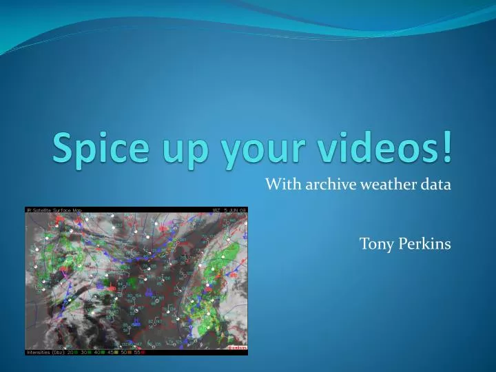
Spice up your videos!. With archive weather data Tony Perkins. What is archive weather data?. Surface Maps Radar Images Your GPS location Storm reports. Sources for archive data. NCDC: National Climatic Data Center http ://www.ncdc.noaa.gov Upper Air 1 and 5 minute METAR Surface.

E N D
Spice up your videos! With archive weather data Tony Perkins
What is archive weather data? • Surface Maps • Radar Images • Your GPS location • Storm reports
Sources for archive data • NCDC: National Climatic Data Centerhttp://www.ncdc.noaa.gov • Upper Air • 1 and 5 minute METAR • Surface
Sources for archive data • HDSS: http://hurricane.ncdc.noaa.gov/pls/plhas/has.dsselect • Level2 and Level3 radar raw data • Text files for everything else
Sources for archive data • SRSS Text Products • Warnings, Volcanoes, METARs, you name it
Sources for archive data • Plymouth State: http://vortex.plymouth.edu/u-make.html • Radar Images, Soundings, SFC Maps, Upper Air
Sources for archive data • Storm Prediction Center: http://www.spc.noaa.gov • Convective Outlooks, Storm Reports • Mesoscale Analysis Images, Mesoscale Discussions
Sources for archive data • UCAR Image Archive: http://www.mmm.ucar.edu/imagearchive • Upper Air, Soundings, Surface Maps (fronts), Satellite
Sources for archive data • More UCAR:
Save sequences of images • Right click on an image and “Save Image As” • Save multiple images to animate later • Surface Analysis Example
Using GRLevel3 • Meant for radar, but makes a decent GIS mapper • Uses “Placefiles” to overlay data on the radar
Using GRLevel3 • Live data is abundant, but archive is nonexistent • http://grlevel3.tornadocentral.com
Making placefiles • Look at existing placefiles • Format: http://www.grlevelx.com/manuals/gis/files_places.htm
Importing GPS Data • Export your data to a text file • http://www.gpsvisualizer.com/convert_input
Animating Images • Mencoder/ FFMpeg: Combine images into a videohttp://www.mplayerhq.hu • Imagemagick: Resize images, convert formats.http://www.imagemagick.org
Automation with AutoIT • Free Windows utility to simulate user input • http://www.autoitscript.com/
Scripts to make placefiles • Soon available at: • http://blueskybust.com/wxscripts Movie Time!