Download
1 / 16
160 likes | 338 Views
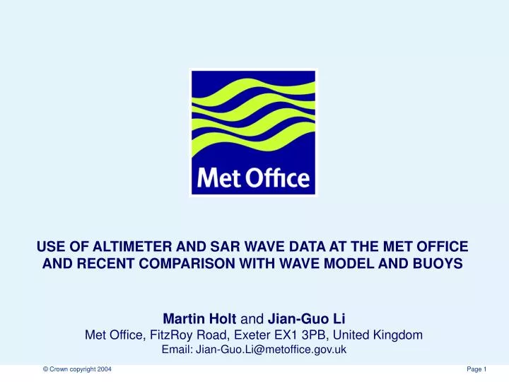
USE OF ALTIMETER AND SAR WAVE DATA AT THE MET OFFICE AND RECENT COMPARISON WITH WAVE MODEL AND BUOYS. Martin Holt and Jian-Guo Li Met Office, FitzRoy Road, Exeter EX1 3PB, United Kingdom Email: Jian-Guo.Li@metoffice.gov.uk. Application of satellite wave data in Met Office.

E N D
USE OF ALTIMETER AND SAR WAVE DATA AT THE MET OFFICE AND RECENT COMPARISON WITH WAVE MODEL AND BUOYS Martin Holt and Jian-Guo LiMet Office, FitzRoy Road, Exeter EX1 3PB, United Kingdom Email: Jian-Guo.Li@metoffice.gov.uk
Application of satellite wave data in Met Office • 1980s: Development of SEASAT satellite data assimilation in wave models. • 1993: Assimilation of ERS-1 SWH and Wind data in operational wave model. • 1996: Switch to ERS-2 data assimilation. • 2001:Turned off DA when quality of ERS-2 wind data became degraded. • 2003: Use of Envisat altimeter RA2 and ASAR data for wave model validation.
The Met Office Global Wave Model Met Office Global wave models hindcast twice a day with grid spacing ~ 60km North Atlantic European model ~11km Resolution 13 Frequency 16 direction Test Hires 26 Frequency 24 direction Windsea fitted to a member of the JONSWAP spectral family
Quantities used for comparison • 2-D energy spectrum; • 1-D spectrum; • 4-bin SWHs; • SWH.
Observations used for comparison ESA Envisat ASAR Level 2 products: ASA_WVW_2P* ESA Envisat RA2 data (SWH): RA2_WWV_2P* Buoy (ID 51028) near Christmas Island (CI 0.02 N 153.87 W) and buoy (ID 42001) in Gulf of Mexico (GM 25.84 N 89.66 W)
Comparison of SWHs ___ Buoy CI ASAR SWH close to CI (<6ºlat/lon) July 04 – Dec 05 Buoy CI SWH July 04- Nov 05 RA2 Wind speed~CI (<6ºlat/lon)July 04- Dec 05 RA2 SWH close to CI (<6 ºlat/lon) July 04- Dec 05 Buoy CI bias, Altimeter good, ASAR large deviation and poor correlation
Comparison of SWHs ___ Buoy GM ASAR SWH ~GM(<6deg)July 04- Dec 05 Buoy GM SWH July 04 - Nov 05 RA2 SWH ~GM (<6°) July 04- Dec 05 RA2 Wind speed ~GM July 04- Dec 05 Buoy GM, Altimeter, Wind good, ASAR scarce, large deviation, poor correlation
Comparison of model SWHs with global b) ASAR SWHs in March 2005 ASAR/mod mean 2.87/2.86 m ASAR-mod rms 2.27 m Correlation=0.20 • RA2 SWHs in March 2005 Ra2/mod mean 2.73/2.77 m Ra2-mod rms 0.77 m Correlation=0.82 Altimeter global good, land effects; ASAR large deviation, poor correlation
ASAR 2-D spectra and Buoy CI 1-D spectra Model ASAR Buoy CI 0.02 N 153.87 W ASAR close to buoy, Model swell larger than buoy, wind sea fine
ASAR 2-D spectra and Buoy GM 1-D spectra Model ASAR Buoy GM 25.84 N 89.66 W ASAR land effect, erroneous swell, GM buoy low wind, no swell
Summary and conclusions • Satellite ocean wave data have been used in Met Office for over 20 years, especially ERS1-2 and Envisat. • Three independent wave observations (RA2, ASAR and Buoys) are compared via a global wave model. • Total SWHs from all observations and the model are in good agreement. • ASAR spectra seem over-estimate long waves (T>15 s). • Land effects appear in both Altimeter and ASAR wave data, more significant in ASAR.
Comparison of along track SWHs ASAR swh large fluctuations, land effects Altimeter close to model, 9-pts average Wind speed good agreement
Satellite data QC filters • RA2 Altimeter data • 0 < SWHs < 20 m • StdDev < 20.0 m • Rain_flag=0 • Model grid average ~9 RA2 points • ASAR Level 2 data • quality_flag == 0 • confidence_swell == 0 • land_flag == 0 • 1.0 <= image_variance <= 1.6 • 3.0 <= wind_speed <= 19.0 • 2.0 <= signal_to_noise <= 200.0