Download
1 / 1
10 likes | 62 Views
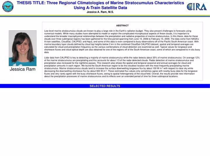
THESIS TITLE: Three Regional Climatologies of Marine Stratocumulus Characteristics Using A-Train Satellite Data. Jessica A. Ram, M.S. ABSTRACT

E N D
THESIS TITLE: Three Regional Climatologies of Marine Stratocumulus Characteristics Using A-Train Satellite Data Jessica A. Ram, M.S. ABSTRACT Low-level marine stratocumulus clouds are known to play a large role in the Earth’s radiation budget. They also present challenges to forecasts using numerical models. While many studies have attempted to model or explain the complicated microphysical aspects of these clouds, it is important to understand the broader macrophysical relationships between the precipitation and radiative properties of marine stratocumulus. In this thesis, data for these clouds over three subtropical regions has been gathered for the time period spanning from June 15, 2006 to February 15, 2009. The data come from NASA’s A-train satellites, CloudSat, CALIPSO, and Aqua, and some of this data is even compared to buoy observations off of the Pacific South American coast. With marine boundary layer clouds defined by cloud top heights below 2 km in the combined CloudSat-CALIPSO dataset, spatial and temporal averages are calculated for cloud and precipitation frequency as the various combinations of cloud detection are examined as well. Typical values for longwave and shortwave fluxes and cloud optical depth are also obtained for one of the regions off of the South American coast, some of which are compared to in-situ buoy data. Lidar data from CALIPSO is key to detecting a majority of marine stratocumulus while the radar detects about 35% of marine stratocumulus. On average 12% of the marine stratocumulus are precipitating and this accounts for about 1/3 of the radar-detected clouds. Radar detection of marine stratocumulus and precipitation also increased for the nighttime passes. This research also shows the spatial and temporal seasonal and annual averages for cloud and precipitation amounts in each region. We found the South American region to be the cloudiest location with the most frequently precipitating marine stratocumulus. Marine stratocumulus clouds tend to increase the surface downwellinglongwave flux by about 100 W m-2 with respect to clear sky while decreasing the downwelling shortwave flux by about 900 W m-2. These estimated flux values only sometimes agree with nearby buoy data for the longwave fluxes and very rarely agree with the buoy shortwave fluxes, owing to spatial heterogeneity of the cloud field. Overall, the results provide new information about the precipitation processes of marine stratocumulus and its effects over an extended period of time for three subtropical locations. Jessica Ram SELECTED RESULTS