Download
1 / 22
220 likes | 375 Views
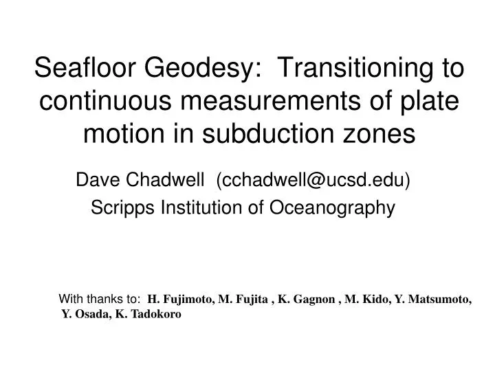
Seafloor Geodesy: Transitioning to continuous measurements of plate motion in subduction zones. Dave Chadwell (cchadwell@ucsd.edu) Scripps Institution of Oceanography. With thanks to: H. Fujimoto, M. Fujita , K. Gagnon , M. Kido, Y. Matsumoto, Y. Osada, K. Tadokoro. Outline.

E N D
Seafloor Geodesy: Transitioning to continuous measurements of plate motion in subduction zones Dave Chadwell (cchadwell@ucsd.edu) Scripps Institution of Oceanography With thanks to: H. Fujimoto, M. Fujita , K. Gagnon , M. Kido, Y. Matsumoto, Y. Osada, K. Tadokoro
Outline • Scientific motivation - Need for sea floor meas. • Acoustics for Horizontal – Direct, indirect, w/ GPS • Pressure for Vertical – Inst. drift, ocean density • Bottom moored acoustics – Cont. indirect • AUV w/ GPS-Acoustics – Cable installation. • Pressure w/ ext. reference– Inst. drift control • Buoy for cont. horiz./vert. - Continuous GPSA, drift controlled press., water column densit, and sound speed. • Summary
Subduction zone geodetics: Limits of land-based GPS Question: Where is the locked zone? Approach: Assume elastic strain = f(convergence rate, fault geometry, lock zone). Observe elastic strain on continent with land-based geodetics, convergence rate from far-field GPS or geology, assume or solve-for thrust fault geometry, and solve for the lock zone: 1 . No deformation measurement in the submerged up-dip region. 2. No direct geodetic observation of convergence adjacent to the subduction zone. A need for seafloor geodesy …..
Acoustic geodesy techniques for cm-level resolution • Electromagnetic waves travel long distances with small uncertainty due to • propagation velocity, but do not penetrate significantly sea water. • Acoustic waves travel long distances, but propagation velocity uncertainty limits • geodetic usefulness to ~ 10 km. Refraction can be significant. Direct path (0-2 km) Indirect Direct path (2-10 km) GPS-surface path (10-1000s km) (e.g., Sweeney et al., 2005, Marine Geodesy) (e.g., Chadwell et al.,1999, GRL) (e.g., Spiess et al., 1998, PEPI)
Time/Space resolution of existing (published) horizontal deformation measurement systems
GPS-Acoustic measurements of subduction motion Convergence: Northern Cascadia:(Spiess et al., 1998, PEPI) Japan Trench: (Osada et al., 2006) Central Cascadia: (Chadwell et al., in prep) “non-uniform” Interseismic and Coseimic : Peru: (Gagnon, Chadwell, Norabuena, 2005, Nature) Japan Trench: (Fujita et al., 2006; Matsumoto et al., 2006) Nankai Trough: (Kido et al., 2006; Tadokoro et al., 2006)
Outline • Scientific motivation - Need for sea floor meas. • Acoustics for Horizontal – Direct, indirect, w/ GPS • Pressure for Vertical – Inst. drift, ocean density • Bottom moored acoustics – Cont. indirect • AUV w/ GPS-Acoustics – Cable installation. • Pressure w/ ext. reference– Inst. drift control • Buoy for cont. horiz./vert. - Continuous GPSA, drift controlled press., water column densit, and sound speed. • Summary
Vertical geodesy techniques for cm-level resolution (e.g., Phillips et al.,2008, JGR)
Time/Space resolution of existing (published) vertical deformation measurement systems
Vertical motion from pressure gauges Mid-Ocean Ridge inflation: Axial Volcano:(Chadwick et al., 2006, J. Vol. Geoth. Res.) Island collapse: South Flank Kilauea Volcano : (Phillips, Chadwell, Hildebrand, 2008, JGR)
Outline • Scientific motivation - Need for sea floor meas. • Acoustics for Horizontal – Direct, indirect, w/ GPS • Pressure for Vertical – Inst. drift, ocean density • Bottom moored acoustics – Cont. indirect • AUV w/ GPS-Acoustics – Cable installation. • Pressure w/ ext. reference– Inst. drift control • Buoy for cont. horiz./vert. - Continuous GPSA, drift controlled press., water column densit, and sound speed. • Summary
tectonic fault seismic
Continuous (daily) Indirect Path Approach Observations: Each Node interrogates (20x) all transponders for the two-way travel time Unknowns: Local east, north position of node and east, north and up position of transponder Goal: Daily cm-level resolution Chadwell-SIO/ BP America Inc. (not to scale)
Outline • Scientific motivation - Need for sea floor meas. • Acoustics for Horizontal – Direct, indirect, w/ GPS • Pressure for Vertical – Inst. drift, ocean density • Bottom moored acoustics – Cont. indirect • AUV w/ GPS-Acoustics – Cable installation. • Pressure w/ ext. reference– Inst. drift control • Buoy for cont. horiz./vert. - Continuous GPSA, drift controlled press., water column densit, and sound speed. • Summary
AUV-based GPS-Acoustic • Obs. without research vessel • Obs. With considering sea state and GPS satellite distribution • Immediate response to event • Frequent Obs. M. Mochizuki, A. Asada, T. Ura(Univ. of Tokyo) M. Fujita, M. Sato, Y. Matsumoto (Japan Coast Guard) O. L. Colombo (NASA) T. Tanaka, Z. Hong (SEA Corp.) K. Nagahashi(MES Co., Ltd.)
tectonic fault seismic
Outline • Scientific motivation - Need for sea floor meas. • Acoustics for Horizontal – Direct, indirect, w/ GPS • Pressure for Vertical – Inst. drift, ocean density • Bottom moored acoustics – Cont. indirect • AUV w/ GPS-Acoustics – Cable installation. • Pressure w/ ext. reference– Inst. drift control • Buoy for cont. horiz./vert. - Continuous GPSA, drift controlled press., water column densit, and sound speed. • Summary
Drift control using pressure reference Tryon &Brown capture ambient pressure at deployment, thermally isolated reference; system about to be deployed with buoy. Sasagawa & Zumberge use a “dead” weight that is “raised’’ to preset height by a generated pressure that forms the reference; bench test completed.
Outline • Scientific motivation - Need for sea floor meas. • Acoustics for Horizontal – Direct, indirect, w/ GPS • Pressure for Vertical – Inst. drift, ocean density • Bottom moored acoustics – Cont. indirect • AUV w/ GPS-Acoustics – Cable installation. • Pressure w/ ext. reference– Inst. drift control • Buoy for cont. horiz./vert. - Continuous GPSA, drift controlled press., water column density, and sound speed. • Summary
Continuous GPS-Acoustics / vertical from a moored buoy NS-OTIC 3-year project started 1/1/07, Brown, Chadwell, Send, Tryon at SIO to build a horizontal (GPSA) and vertical (pressure) sensor. Deployed in August 2008 for initial multi-month test offshore San Diego. Vertical: drift-controlled pressure w/ water density, surface pressure, and surface height measured Horizontal: GPS-Acoustic measurements every 60 seconds.
Seafloor geodetic spatial & temporal resolutions • Gray-shaded regions show demonstrated resolutions. • Blue-shaded region shows technique fielded for tests. • Purple-shaded region shows technique about to be deployed for testing. • Q1 What will be the temporal threshold of the acoustic and GPS-acoustic systems? • Q2 Will it be possible to control long-term drift of VSM and can absolute reference surface be realized • over 100s km?
Summary • Seafloor geodetic techniques have measured crustal motion with centimeter-level resolution in the offshore portion of subduction zones. • Seafloor and sub-aerial geodetic measurements can be combined to span entire oceanic / continental extent of subduction zone. • Continuous “daily to sub-daily” observations of vertical and horizontal deformation will be possible during the next decade of subduction zone research.