Download
1 / 12
120 likes | 205 Views
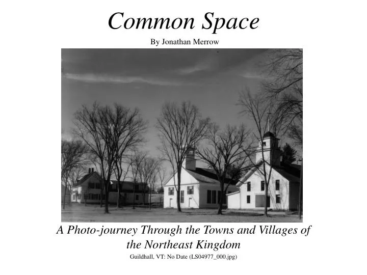
Common Space By Jonathan Merrow. A Photo-journey Through the Towns and Villages of the Northeast Kingdom Guildhall, VT: No Date (LS04977_000.jpg). The Northeast Kingdom.

E N D
Common SpaceBy Jonathan Merrow A Photo-journey Through the Towns and Villages of the Northeast Kingdom Guildhall, VT: No Date (LS04977_000.jpg)
The Northeast Kingdom The origins of the Northeast Kingdom’s town greens can be traced back to England, where towns traditionally center around the green. As late as the American Revolution, much of Northeast Kingdom was part of colonial New Hampshire, and ruled by the crown. The king’s proxy, Governor Wentworth, granted town charters in the region in 1761. One of the charters’ provisions stipulated that “a tract of land as near the centre of the said Township as the Land will admit of shall be reserved and marked out for town lots…” (Benton 60). In large part, we can thank the English for the greens of The Northeast Kingdom. Caledonia County Essex County
Danville’s Green Although each green reflects the unique qualities of its town, they all share much in common. The top-left view, taken before the roads were paved, shows the Danville bandstand, and the many buildings centered around the green. The contemporary shot on the right makes clear that the bandstand is still in use. The aerial photo on the bottom is an image from The Danville Project, an exciting plan underway to revitalize the heart of the town. Danville, VT: c. 1885 (LS03874_000.jpg) Danville, VT: 7.24.05 http://www.aot.state.vt.us/danville/files/home.html
Danville’s Country Stores Danville, VT: post 1890 (LS03875_000.jpg) The shot above captures the Morse general store situated near the green when the roads were unpaved. A horse and buggy can be seen on the road. The green is located at major crossroads, and bustles with commercial activity. The shot on the bottom right shows that the country store is still in good repair. To the right is a view of Danville’s country store today. Danville, VT: 7.24.05
Deep Roots: Guildhall’s Green Map c. 1876 (LS01583_000.jpg) Guildhall, VT: 7.23.05 Guildhall has changed little since this map was drawn c. 1876. Today its green is still surrounded by the town hall, courthouse, and Congregational church. The jail and Essex also hotel still stand. Guildhall is one of the oldest towns in Vermont.
Preserving Guildhall’s Historic Buildings Guildhall, VT: No date (LS04977_000.jpg) Guildhall, VT: 7.23.05 The residents of Guildhall take great pride in their town’s historic buildings. The trees in the picture on right indicate that the shot was taken before Dutch elm disease ravaged the region. In the contemporary view, the buildings are still in excellent shape.
Right in the Middle of Things The centrality of the town green makes it the perfect place for a country store, both in 1916 and today. The elms are gone, the street is paved and wider, and the covered bridge is now just a bridge. The store is just about the same. Guildhall, VT: c.1916 (LS01693_000.jpg) Guildhall, VT: 7.23.05
Guildhall, VT: 7.23.05 The Sign by the Green Even though Guildhall’s sign has been redone since the shot on the left was taken in 1949, its central location in town has not: it is still a mere stone’s throw from the green. The picture on the bottom right indicates that while the sign is not situated in the same place it was in ‘49, the building that once stood behind it is still in excellent shape. Guildhall, VT: 1949 (LS07019_000.jpg)
Lunenburg’s Green The historic image on the left shows the bandstand, where music played on summer nights. So many trees fill the green that the town hall and Congregational church are barely discernable. A fence separates the green’s edge from a dirt road. The contemporary shot on the right shows us that while the trees are less dense, the roads have been paved, and the fence is gone, the bandstand is still an integral part of Lunenburg’s green. Lunenburg, VT: no date (LS00812_000.jpg) Lunenburg, VT: 7.23.05
The Town Green: a Place to Worship The green was the perfect spot to congregate and exchange gossip after church. Rows of trees fill the green. The contemporary photo shows that most of the trees are gone. The building behind the Congregational church and to the left makes plain that the green continues to be a prime place to develop. Lunenburg, VT: no date (LS09243_000.jpg) Lunenburg, VT: 7.23.05
Village Greens: Changing and Changeless Amazingly, all three town greens are pretty much as they were 100 years ago. The greens provide windows into the past even as they reflect the present. The years have exacted heavy tolls on the old buildings around each. Only with great effort have these New England treasures been preserved, for which we should all be thankful. Guildhall, VT: no date (LS01690_000.jpg) Lunenburg, VT: 7.23.05
Works Cited Benton, Everett. History of Guildhall, Vermont. Guildhall: Town of Guildhall, 1985. Craine, Kimber. http://www.nasaa-arts.org/spotlight/stspot_1201.shtml[acessed 7.19.05] Crockett, Walter. The Green Mountain State. vol. I. Burlington, Vt. : Vermont Farm Bureau, 1938. Ledeux, Tom. http://vermontcivilwar.org/pw/monu/index.php [acessed 7.19.05] Slocum, Harold. The Story of Vermont. New York, Chicago [etc.]: C. Scribner’s sons [c1926]. http://www.aot.state.vt.us/danville/files/home.html (The Danville Project) http://www.vtliving.com/map/essexcountyvt.shtml (Essex county map) http://www.vtliving.com/map/caledoniacountyvt.shtml (Caledonia county map)


![[PDF]ALI by Jonathan Eig](https://cdn4.slideserve.com/8085273/slide1-dt.jpg)